
Ominato Aomori
Ominato (大湊) is a cruise port in Aomori Prefecture, Tohoku, Japan. The Shimokita peninsula. Mount Osore — a sulphurous volcanic basin treated as a boundary with the dead — is the reason to be here.
The Shimokita peninsula. Mount Osore — a sulphurous volcanic basin treated as a boundary with the dead — is the reason to be here.
What this page is. A researched reference entry — not a full guide. We have not walked Ominato yet, and we have not verified its berth-to-town distances the way we do for our full guides, so you will find no walking times or timed plans here: we do not publish numbers we have not checked. What is here is accurate, sourced, and kept current.
Full guides near Ominato
These Tohoku ports have complete Port of Japan guides — timed shore plans for 2–3h, 4–6h and 8h+ calls, measured berth information and walk-it verdicts:
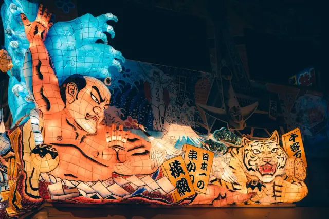 AomoriNebuta float warriors, Tsugaru shamisen, apples, and a scallop market where you build your own bowl. The festival runs 2–7 August without exception.
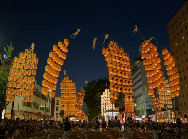 AkitaNamahage demons, twelve-metre lantern poles balanced on foreheads, cold-country sake, and the samurai street at Kakunodate.
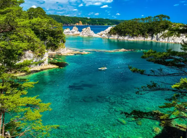 MiyakoJodogahama, a beach of white rhyolite spires and clear water, is fifteen minutes from the pier. The coast here was rebuilt after 2011.
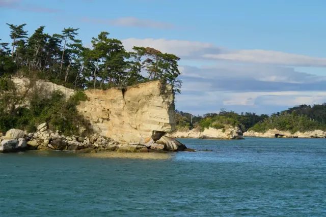 Sendai–ShiogamaThe gateway to Matsushima — a bay of pine-covered islets counted among Japan's three classic views — and to the temple of Zuiganji.
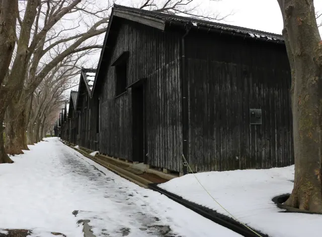 SakataA rice-shipping port on the Sea of Japan. Nineteenth-century Sankyo warehouses, and the three sacred mountains of Dewa inland.
Planning a call at Ominato?
The site-wide tools work for any Japanese port day: the Shuttle & Berth Index explains how berth assignments decide your day, DIY or Book? covers the decision logic, and if Ominato is your first Japanese port, read the immigration guide first.
Sailing to Ominato? Tell us your ship and date — reference ports get promoted to full guides in the order readers actually need them.
Where is Ominato port?
Ominato (大湊) is in Aomori Prefecture, in the Tohoku region of Japan. The nearest ports with full timed guides on this site are Aomori, Akita, Miyako, Sendai–Shiogama, Sakata.
Does Ominato have a cruise port?
Yes — Ominato (大湊), in Aomori Prefecture, appears on Japan cruise itineraries. The Shimokita peninsula. Mount Osore — a sulphurous volcanic basin treated as a boundary with the dead — is the reason to be here.
Is there a full Ominato port guide on this site?
Not yet — this is a researched reference entry, clearly labelled as such: we have not walked Ominato or verified its berth-to-town details in person. Our full guides in the same region cover Aomori, Akita, Miyako, Sendai–Shiogama, Sakata, each with timed shore plans measured from the gangway. Reader requests decide which reference ports we promote to full guides next.
Reference entry · researched from official sources · By Takumi Yamada, Tokyo · All 85 ports →