Is a short (2-3 hour) call enough to see Miyakojima?
Yes, if you plan it tightly. Our timed plan "The town and the town beach" runs ~2.5h door to door from the gangway and still banks 60 minutes before all-aboard. The minute-by-minute version is on the plans page at port-of-japan.com/miyakojima/plans/.
How much can you do in Miyakojima with 4-6 hours ashore?
The half-day is "The west-side loop" (~4h door to door) — every transit leg counted from the berth, with an escape route if you run late. The timed steps are on the plans page at port-of-japan.com/miyakojima/plans/.
Which cruise ships call at Miyakojima in 2026?
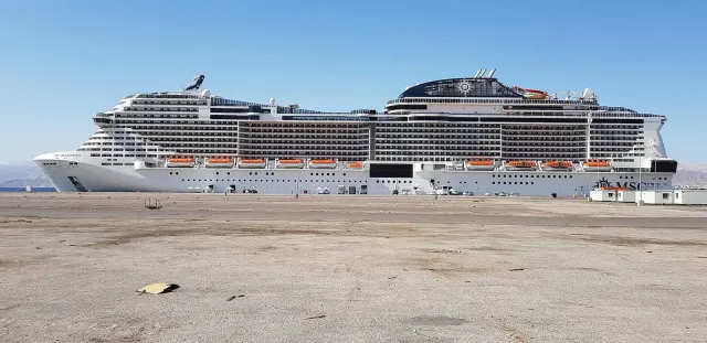
MSC Bellissima all include Miyakojima on their 2026 Japan itineraries. Each ship has its own guide on this site decoding every port it calls at, and this page carries plans sized to the hours each ship typically spends here. The full official 2026 call list — every ship with counts and seasons — is at port-of-japan.com/cruises-to/miyakojima/.
How do you get from the Miyakojima cruise terminal into town?
① Berth shuttle bus to the terminal (~1 km) — walking inside the port is not allowed ② Walk ~15 min into Hirara For today's exact departure times, open Google Maps transit directions from the pier — local timetables change by day, and the app knows today's.
When do cherry blossoms bloom at Miyakojima?
Around Jan 17 for first bloom and Feb 9 for full bloom, by the Japan Meteorological Agency's 1991–2020 records as computed by Port of Japan (reference station: hikan-zakura, a different species). The last decade has run roughly 5–6 days earlier than those normals, and the date wanders by a week or more each year. The port-by-port table is at port-of-japan.com/journal/japan-cherry-blossom-cruise-ports/.
How much typhoon risk does a Miyakojima call carry?
Miyakojima sits on the Okinawa coast, which averages 7.7 typhoon approaches a year (JMA 1991–2020 normals) — the peak is August to September. Ships reroute rather than sail into a storm; the coast-by-coast picture and the booking-window advice are at port-of-japan.com/journal/typhoon-season-japan-cruise/.
How many cruise ships visit Miyakojima in 2026?
54 cruise calls are on the official Hirara Port, City of Miyakojima (NACRU) schedule for 2026 (Full year 2026 (berth-booking system snapshot)), 51 by international ships and 3 by Japanese-operated ships. Every ship and its season is listed at port-of-japan.com/cruises-to/miyakojima/.
Where do cruise ships dock in Miyakojima?
At the Hirara Port cruise berth (420 m, −10 m), the only cruise berth in use; every call to 2027, MSC Bellissima included, is booked there, so there is no tender. A shuttle bus takes you about 1 km from the berth to the terminal (walking in the port area is not allowed); from the terminal Hirara town is about 1 km, 15 minutes on foot.
Can I do Miyakojima without a tour?
Only with a plan. The island has no trains, a thin bus timetable, and a small taxi fleet that disappears when a large ship is in — there are effectively no cruising taxis to hail. Book a rental car or a charter taxi (published quotes run roughly ¥3,000–4,000 an hour; there is no official rate, so confirm when booking) before you sail, or take the ship’s excursion. The honest fallback needs no wheels at all: Hirara town and Painagama Beach on foot.
What is the best beach I can actually reach from the ship?
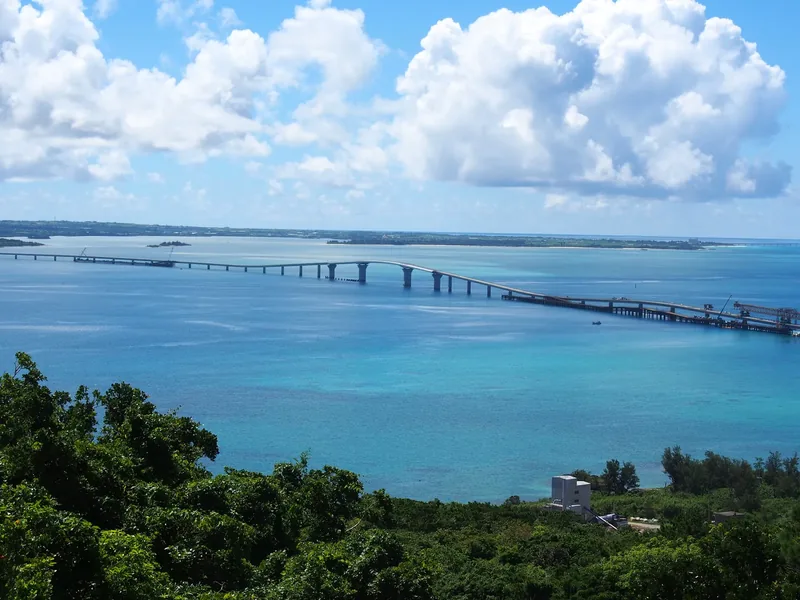
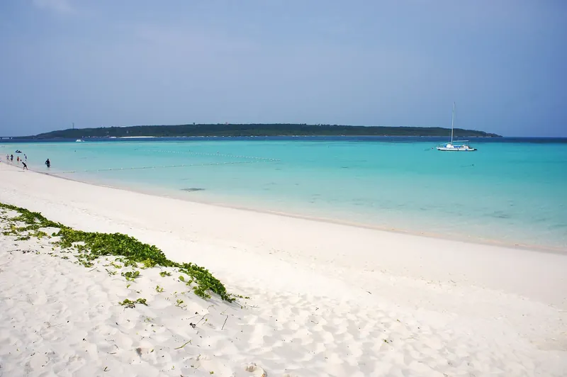
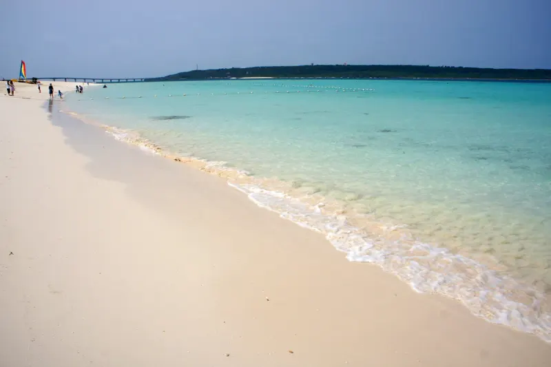
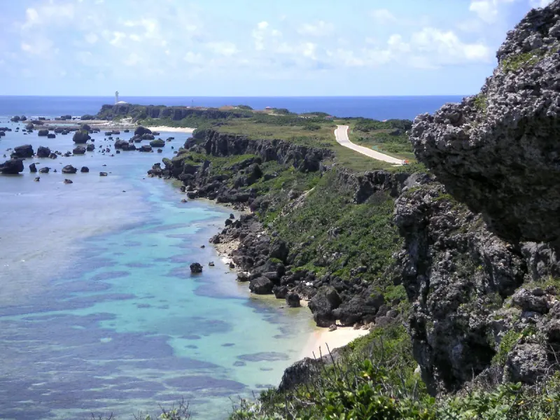
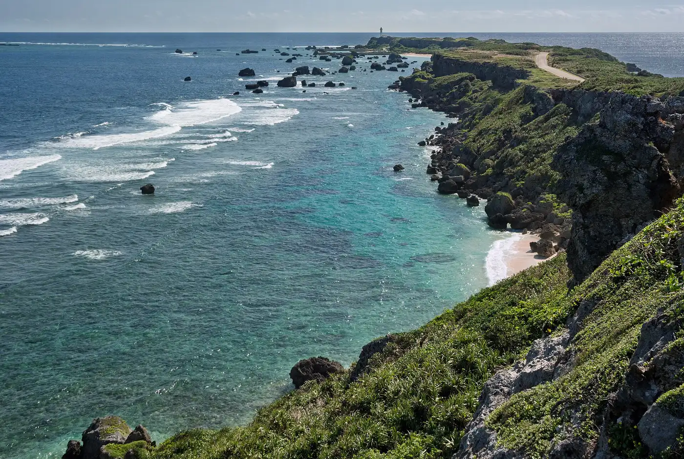
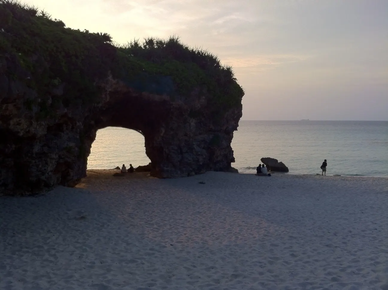
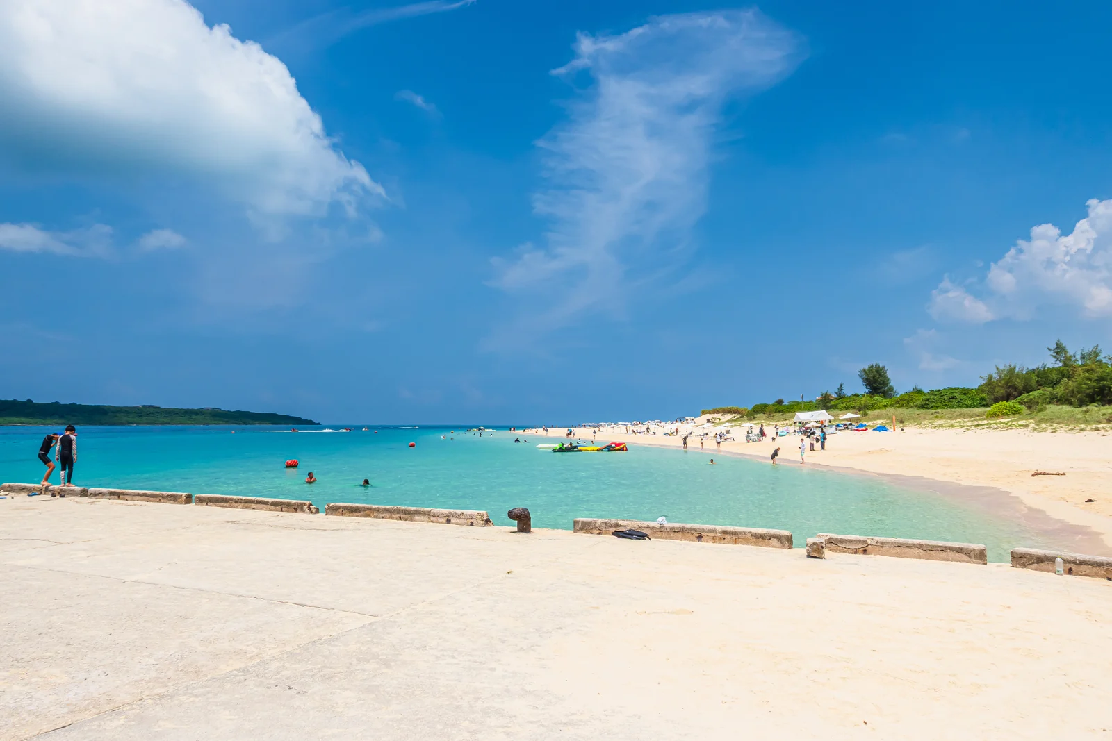
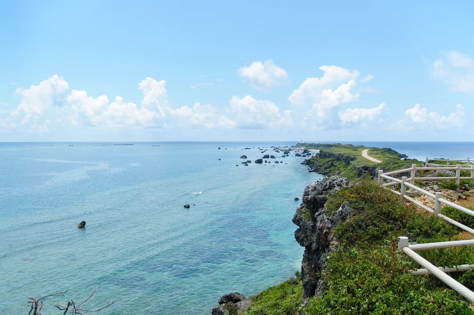
On foot, Painagama — the town beach, about 25 minutes from the quay. With wheels, Yonaha Maehama: seven kilometres of powder sand about 20 minutes away by car, routinely voted the best beach in Japan. Sunayama, with its dune and rock arch, is closer but the arch itself is roped off after rockfalls — admire it, don’t stand under it.
When can you swim?
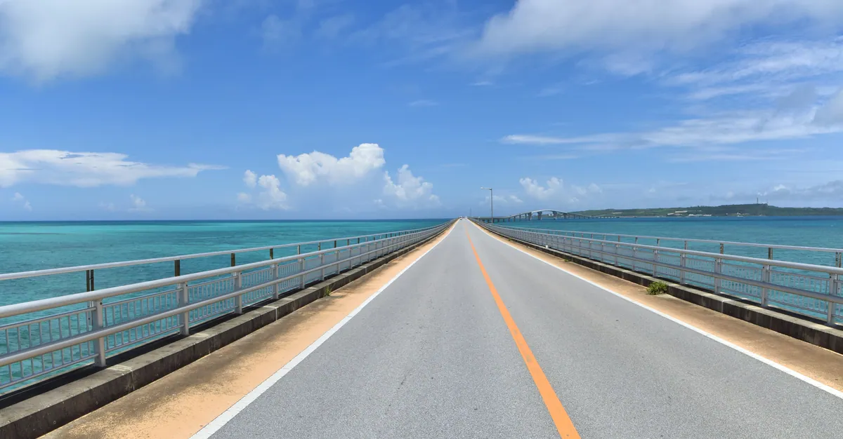
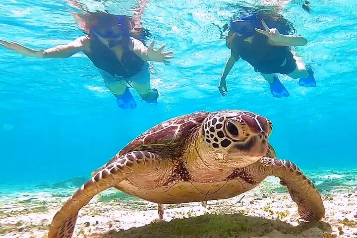
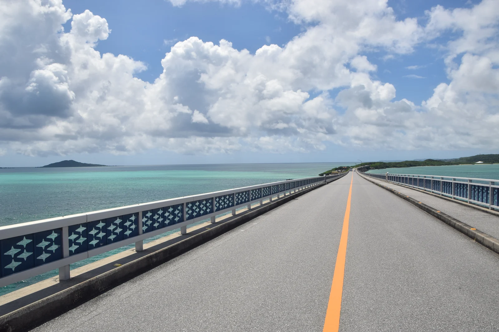
The comfortable window is roughly April to October, with official beach seasons opening in early April; Maehama has netted swimming areas in season. Winter calls are mild — high teens to low twenties — good for the capes and bridges, cold for swimming. August and September carry real typhoon risk, and a close typhoon can cancel the call itself.
How much cash, and do cards work?
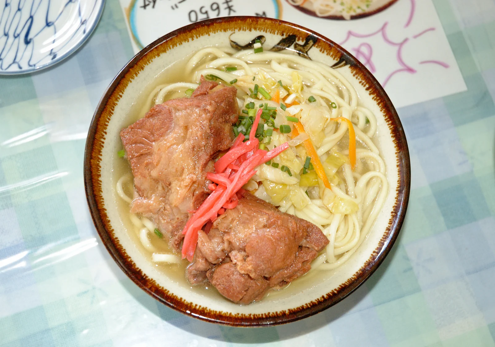
Carry more cash than the city ports need — taxis, soba houses and market stalls prefer it, though hotels and the bigger shops take cards. ¥10,000 a person covers a charter share, lunch and souvenirs. There is no need to change money on the ship: convenience-store ATMs in Hirara take foreign cards.