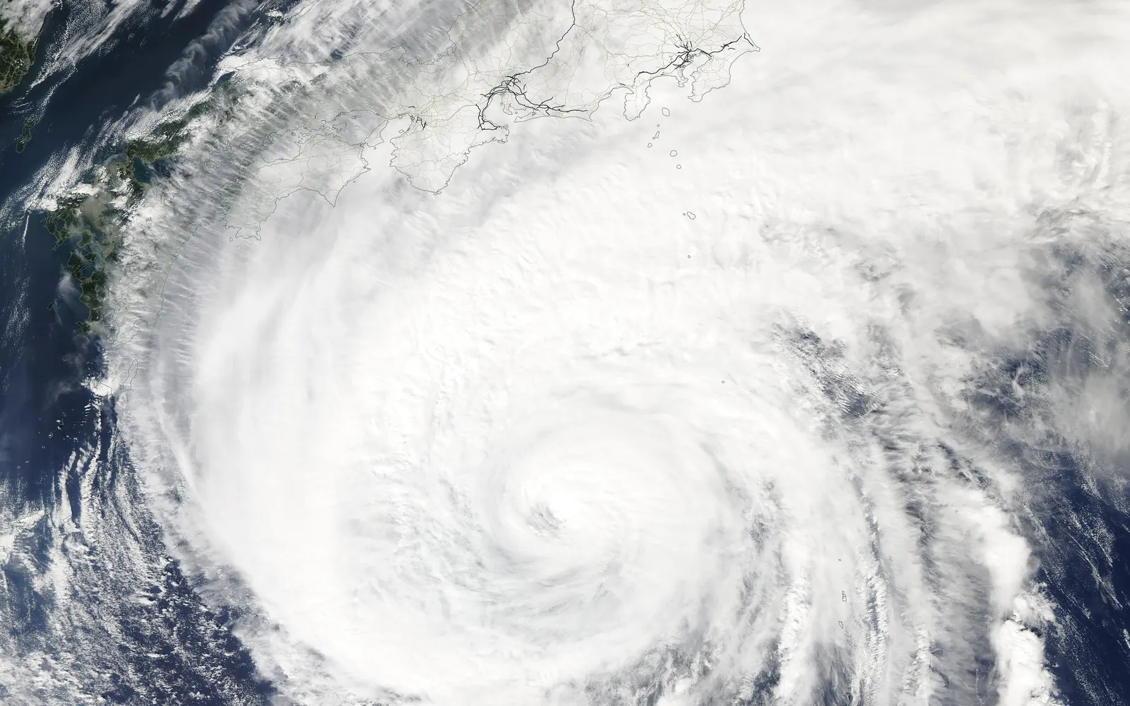
A cruise ship is one of the few places in Japan where a typhoon is a scheduling problem, not a safety problem. Your hotel cannot move. Your ship can, at speed, days ahead of a storm the size of a country. So the questions that matter are not how many typhoons Japan gets. They are: is one coming now, does it reach my call, what happens if it does, and what can I still do ashore. The box above answers the first two for your ship; the rest of this page answers the others.
If it hits: what actually happens
Roughly in order of how often it happens:
Ishigaki becomes a second Naha day; a Kyushu port replaces an Okinawa call.
The ship spends the day putting water between you and the storm.
Note the new all-aboard and re-pick your plan length.
The storm passes behind the ship instead of across its path.
Announcements come one to three days ahead in the daily programme. The decision belongs to the captain and the port authority — Japanese ports close to traffic when conditions demand it, and no cruise line overrides that.
On board, a typhoon day is a sea day with closed outer decks and pool, a swell that most ships handle well at distance, and a lot of people in the buffet. The captain positions the ship on the storm’s weaker side and keeps moving; by the time you feel anything, the decision was made two days earlier.
What to do now, by how far away the storm is
- More than five days out: nothing, except arrive early. JMA's forecast reaches five days; anything beyond that is a guess. If you have not yet flown in, this is the moment to add a night before embarkation and to buy insurance that names weather delay.
- Two to five days out: hold the non-refundable plans. Do not pre-pay independent tours without a "ship does not arrive" refund; the ones on this site state their terms. Read the daily programme every evening, because the earlier all-aboard is announced there, not by email.
- The day before and the day itself: follow the ship, not your plan. If the call still happens, it is usually shorter. Pick the shorter plan length, stay within a taxi ride of the berth, and use the rain-day route in the check above. Ferries, ropeways and tender boats stop before the ship does; what stays open is what is under a roof.
- If you are ashore when the all-aboard moves: go back now. The ship will not wait, and in a typhoon the port may close to traffic behind you. Our guide to what happens if you miss the ship in Japan is the page you do not want to need.
What you’re owed — honestly
| If a port is skipped | What happens |
|---|---|
| Port taxes and fees | Refunded to your onboard account — tens of dollars, not hundreds |
| Shore excursions booked with the cruise line | Refunded in full, automatically |
| Tours booked directly with a local operator | The operator’s own policy — check the “ship does not arrive” clause before booking |
| The port itself, or disappointment | Not owed: the cruise contract allows safety re-routing |
The real risk is embarkation day
Ships dodge typhoons; airline schedules absorb them. A storm crossing Tokyo or Osaka on the day you fly in can cost you the whole cruise — that, not rough seas, is what actually ruins trips.
- Arrive a day early — two in September. Our pre-cruise hotel playbook covers where to stay.
- Buy insurance that covers a missed departure, and check it names weather delay explicitly.
- Book independent tours with a no-arrival refund. Every guided day on this site states its cancellation terms.
The season in numbers: coasts, months and the 30-year normals
What each coast is really like
Okinawa — 7.7 a year, the honest maximum
Naha, Ishigaki and Miyakojima sit on the typhoon highway from the Philippine Sea, and August is the peak (2.2 approaches in an average August). This is where itinerary changes actually happen: an Ishigaki call becomes a second Naha day, an island is dropped for a sea day, or the loop runs backwards.
- The small inter-island ferries (Taketomi, Kerama) stop well before a cruise ship would, so “we docked, but the tours are cancelled” is a real possibility.
- Early summer and late October are the calmer shoulders if the islands are the point of the trip.
Kyushu — 3.9 south, 3.8 north
Kagoshima is in JMA’s southern Kyushu region; Nagasaki, Sasebo, Fukuoka and Beppu in the northern one. The usual outcome is a swap rather than a loss — Kyushu has enough good harbours for lines to trade one for another. In Kagoshima a storm advisory pauses the Sakurajima ferry; Sengan-en garden is the standing Plan B.
Pacific Honshu and Shikoku — 3.3 to 3.5
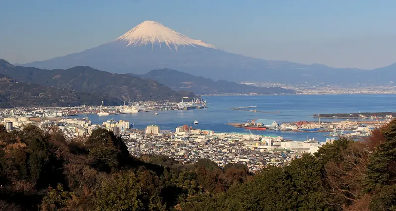
Yokohama, Tokyo, Shimizu, Toba, Osaka, Kobe and Kochi mostly meet storms curving northeast along the coast in September (about 1.0–1.2 a month). Two things matter here more than anywhere:
- Toba is a tender port, and tender ports cancel first — wind a pier would shrug off ends a tender call outright.
- This coast holds the embarkation cities, which is where the real risk sits (see below). Tokyo Bay has also been busier lately: 4.0 a year over 2016–2025, against a 30-year normal of 3.3.
Sea of Japan, Tohoku and Hokkaido — the quieter side
Kanazawa, Tsuruga, Niigata, Sakaiminato, Sakata, Akita and Aomori see 2.7–3.0 a year; Hakodate, Otaru and Kushiro 1.9. Be precise about what that buys you: in September the central Sea of Japan (1.0 a month) is only a little quieter than Tokyo Bay (1.2). The clear gap is further north — Tohoku 0.9, Hokkaido 0.7 — and in August, when every mainland coast sees a third to a half of Okinawa’s storms.
The season at a glance
Japan as a whole, same JMA normals — typhoons per month:
| Item | Aug | Sep | Oct | Nov–May |
|---|---|---|---|---|
| Approaching Japan | 3.3 | 3.3 | 1.7 | rare |
| Making landfall | 0.9 | 1.0 | 0.3 | rare |
Late October to May is the low-worry window; April to June pairs low typhoon risk with spring. If the itinerary you love only sails in August or September, book it — then let the three rules above do the worrying.
Tracking it yourself, like the crew does
The live box on this page reads the Japan Meteorological Agency feed directly; the full map with warnings is at jma.go.jp/bosai (English available). The US Joint Typhoon Warning Center (metoc.navy.mil/jtwc) draws its own five-day cones. If neither cone touches your route, sleep well — and remember the captain saw the storm days before the daily programme told you.
Guided days at the ports in this article
Shared cars with a guide first; each page says who should skip it. Booked through Viator; there is no tour desk at the pier.
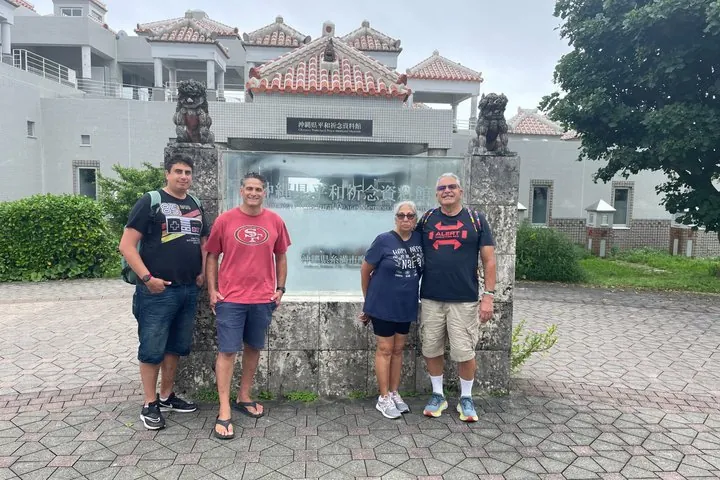 NahaPrivate car · per person4.8★ · 75
Okinawa Battlefields & Peace Memorial Tour, Licensed Guide
A six-hour private day in southern Okinawa with a licensed English-speaking guide and vehicle from Japan Guide…
from US$267 per person · max 7Why it is here → IshigakiPrivate car · per group5.0★ · 8
Ishigaki Island Romantic Photoshoot
A two-hour couples photoshoot at two or more island locations with a husband-and-wife photography team.
US$162 per person for 2 · US$324 per carWhy it is here →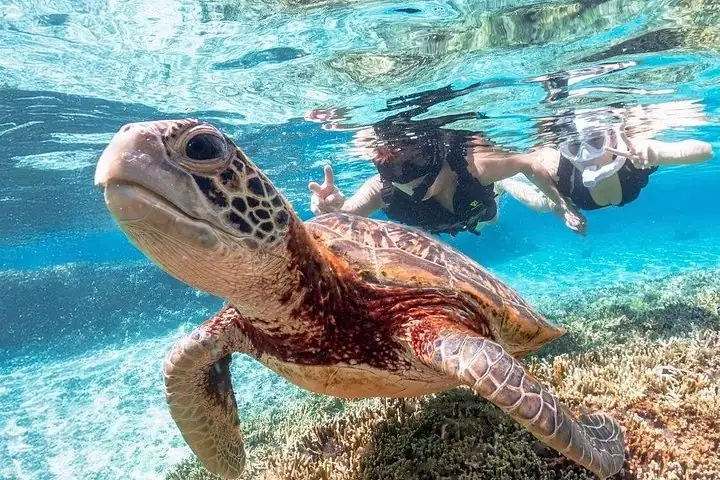 MiyakojimaShared car · per person4.8★ · 105
Okinawa Miyako Sea turtle Snorkeling Free Pick up and Drop off
A two-hour sea-turtle snorkel from a small operator that collects you by car anywhere on the island, in a grou…
from US$45 per person · max 8Why it is here →If you book, we may earn a small commission at no extra cost to you. It never decides what we recommend.
Your port and your month: typhoon normals in one table
Your port, your month
How many typhoons come within 300 km of each coast in an average month. Pick your port — the row lights up.
| Coast · ports | Jun | Jul | Aug | Sep | Oct | Nov | Year |
|---|---|---|---|---|---|---|---|
| OkinawaNaha, Ishigaki, Miyakojima | 0.6 | 1.5 | 2.2 | 1.9 | 1.1 | 0.3 | 7.7 |
| Amami islandsNo port on this site | 0.4 | 0.7 | 1.1 | 1.3 | 0.7 | 0.0 | 4.3 |
| Southern KyushuKagoshima | 0.4 | 0.7 | 1.0 | 1.2 | 0.5 | 0.0 | 3.9 |
| Northern KyushuFukuoka, Nagasaki, Sasebo, Beppu | 0.3 | 0.8 | 1.1 | 1.1 | 0.4 | 0.0 | 3.8 |
| Tokai (Mt. Fuji & Ise)Shimizu, Toba | 0.2 | 0.6 | 0.8 | 1.2 | 0.7 | 0.0 | 3.5 |
| KansaiOsaka, Kobe, Maizuru | 0.3 | 0.6 | 0.7 | 1.1 | 0.7 | 0.0 | 3.4 |
| ShikokuKochi, Takamatsu | 0.3 | 0.7 | 0.9 | 1.0 | 0.4 | 0.0 | 3.3 |
| Kanto (Tokyo Bay)Tokyo, Yokohama | 0.2 | 0.4 | 0.8 | 1.2 | 0.7 | 0.0 | 3.34.0 lately |
| ChugokuHiroshima, Sakaiminato | 0.2 | 0.6 | 0.8 | 1.1 | 0.3 | 0.0 | 3.0 |
| Sea of Japan, centralKanazawa, Tsuruga, Niigata | 0.2 | 0.5 | 0.7 | 1.0 | 0.4 | 0.0 | 2.8 |
| TohokuAomori, Akita, Sakata, Sendai–Shiogama, Miyako | 0.2 | 0.3 | 0.8 | 0.9 | 0.5 | 0.0 | 2.7 |
| HokkaidoHakodate, Otaru, Kushiro | 0.1 | 0.2 | 0.7 | 0.7 | 0.2 | 0.0 | 1.9 |
under 0.30.6–0.91.3–1.81.8+ a month
Average number of typhoons whose centre came within 300 km of the region, per month, 1991–2020 — JMA's own definition of an "approach". “Lately” is the 2016–2025 average where it differs by 0.4 or more. Korean and Taiwanese ports are outside JMA's regions. Source: Japan Meteorological Agency.