The right response is simple: protect your head, then go up and away from the water, and stay there until the warning is cleared. This page gives you the official steps, what each warning level means, what your ship is likely to do, and where the Nankai Trough “megaquake advisory” does and does not touch our ports.
The box at the top of this page shows recent bulletins from the Japan Meteorological Agency (JMA). It is for context, not an alarm. Your phone, the Safety tips app and the ship are the alarms.
If it happens while you are ashore
Official guidance from JMA and the Japan Tourism Agency (JTA), in order:
- Protect your head. In a street or sightseeing area, cover your head with a bag and keep away from walls, signs and glass that could fall. Indoors, do not run for the exit; follow staff. In a lift, stop at the nearest floor and get out.
- If you are near the sea, a river or a harbour, go up as soon as the shaking eases. Strong shaking, or weak shaking that goes on for a long time, is itself the signal. Do not wait for a warning: JMA says a tsunami can arrive before one is issued.
- Go to high ground or a tsunami evacuation building. Watch where the people around you are heading and follow them. JMA's advice is to keep moving to higher ground where you can.
- Stay away from the water, the berth and the ship. JTA says waves hit repeatedly and to keep away from waterfronts until the warning is lifted. A cruise terminal is a waterfront.
- Stay put until the warning is cleared. JMA says not to leave the evacuation place until warnings are cleared. Return to the ship only after that, and follow the ship's instructions.
On a train or subway, hold on and wait for staff; JTA says it is very dangerous to climb down onto the tracks. In a rental car, JTA says to avoid hard braking, stop on the left and switch off the engine; if you have to leave the car, leave the keys in the ignition, close the windows and doors without locking them, and go on foot.
How Japan warns you
Earthquake Early Warning. JMA issues a warning when it expects shaking of intensity 5 lower or more, addressed to areas expected to reach 4 or more. It reaches you on television and radio and as a phone broadcast. On Japanese phones the broadcast comes with a dedicated buzzer tone shared by the carriers; television and radio use a chime developed by NHK. JMA says you have from a few seconds to a few tens of seconds between the alert and strong shaking, and that you should act on the tone rather than stop to read the message. Far from the epicentre, keep protecting yourself for about a minute even if nothing arrives.
Will it work on your phone? JMA’s pages do not say whether a phone bought abroad, or one using a foreign SIM or eSIM, receives the broadcast, and we have not found an official statement either way. Treat it as possible but not guaranteed.
The Safety tips app. The JTA’s Safety tips app pushes earthquake early warnings, tsunami warnings and weather warnings in 15 languages including English, and carries an evacuation flowchart and phrases for asking local people for help. Install it before you fly; our money, Wi-Fi and eSIM guide covers staying connected in port.
NHK WORLD-JAPAN. JTA lists NHK as the key broadcaster for visitors, and JMA says NHK broadcasts every Earthquake Early Warning nationwide. JMA’s English warning map is at jma.go.jp/bosai.
The three tsunami levels
JMA aims to issue a tsunami message about three minutes after a quake. Heights are the forecast maximum wave height above normal sea level, in classes.
| Level | Forecast height | What JMA says to expect | What JMA says to do |
|---|---|---|---|
| Major Tsunami Warning | Over 3 m, issued as 5 m, 10 m or over 10 m. After a magnitude 8 or larger quake it may say “Huge” | Most wooden buildings destroyed or washed away; anyone exposed is swept away | Evacuate from coastal and river areas immediately to high ground or a tsunami evacuation building |
| Tsunami Warning | Over 1 m to 3 m, issued as 3 m. “High” in the early wording for the largest quakes | Low-lying areas hit; buildings flooded; anyone exposed swept away | Evacuate from coastal and river areas immediately to a safer place |
| Tsunami Advisory | 20 cm to 1 m, issued as 1 m | Strong currents in the sea; fish farms washed away; small boats may capsize | Get out of the water and leave coastal areas immediately; no fishing or swimming until it is cleared |
Three things from JMA that matter more than the heights:
- Waves arrive repeatedly, and a later wave can be higher. When early readings are small JMA says “Currently Observing” instead of a height, so as not to suggest the danger has passed.
- Heights can exceed the forecast in some places because of the shape of the coast.
- Messages last for hours. After the magnitude 7.7 quake off Sanriku on 20 April 2026, JMA issued the first tsunami warning at 16:55, downgraded it to an advisory at 20:15 and cleared everything at 23:45. The highest wave recorded was 79 cm at Kuji Port.
A fourth, lowest message is the Tsunami Forecast: slight sea-level change, under 20 cm, no damage expected. JMA issued one on 30 September 2026 for the Miyako and Yaeyama islands after a magnitude 6.0 quake near Yonaguni. It is not a warning.
The signs to know
Japan standardises its evacuation signs (JIS Z 8210 and Z 9098, published 2016), and the tsunami symbols were kept as they already were. JMA’s leaflet shows three, described here in words:
- Tsunami Evacuation Area: a green square with a white figure running up a slope or steps, with a wave behind.
- Tsunami Evacuation Building: a green square with a tall white building and a window grid, a wave, and a running figure below.
- Tsunami hazard zone: a yellow triangle with a black border and a black curling wave. It means you are in the area that may flood.
Local signs vary in layout. If you see the green sign, follow the arrow; if you see the yellow triangle, you are in the wrong place.
What your ship does, and what it means for you
We could not find a published Japan-specific rule from the cruise lines or a port authority, so this section is limited to what the record supports.
- Large ships are safer away from the quay. In 2011, Japan’s transport ministry counted 58 large vessels (20 gross tons and above) damaged by the tsunami, nine of them passenger ships, and its survey found most vessels that evacuated needed about 60 minutes to do so. The ministry encourages passenger-ship operators to write tsunami evacuation manuals.
- The nearest worked example is Hilo, Hawaii, in July 2025. After the Kamchatka quake, the state ordered the Pride of America to leave at once. It sailed two hours early; passengers on a tour drove uphill, spent the night in a high school and rejoined the ship after the harbour was inspected the next morning.
- So expect this: the ship may move out to sea before the first wave and may not be back at the berth for hours. In Hilo the ship stayed offshore and collected its passengers once the port had been checked; your line’s policy will say what it does in Japan, and the timing will not be yours to control. Do not try to beat the ship back. Our ship time versus phone time guide covers the usual all-aboard rules, which a tsunami warning overrides.
The Nankai Trough “megaquake advisory”
The Nankai Trough is the seabed trench running from Suruga Bay off Shizuoka to the sea off southern Kyushu. JMA says a magnitude 8 to 9 earthquake there recurs roughly every 100 to 150 years, and about 80 years have passed since the 1944 and 1946 earthquakes. The long-term evaluation gives the chance within 30 years as 60 to 90 per cent or more on one model and 20 to 50 per cent on another.
When something unusual happens, JMA issues Nankai Trough Earthquake Information with one of four keywords:
- Under investigation (調査中): a possible link is being assessed, with the result comes at the earliest two hours later.
- Megaquake Alert (巨大地震警戒): a magnitude 8 or larger quake has already struck on the plate boundary. People in areas where evacuating after a second quake would be too late are asked to evacuate in advance for a week.
- Megaquake Advisory (巨大地震注意): the chance of a large quake is judged relatively higher than normal. People are asked to recheck their preparations and be ready to flee at once, for a week.
- Investigation ended (調査終了): carry on as normal, noting that the risk has not gone.
It has happened once. At 16:42 on 8 August 2024 a magnitude 7.1 quake struck off Hyuganada, with intensity 6 lower at Nichinan, Miyazaki. JMA issued tsunami advisories for Kochi and Miyazaki, “Under investigation” at 17:00 and the first-ever Megaquake Advisory at 19:15. The call for preparedness ended a week later, on 15 August. News reports describe slower trains, some beaches closed and fireworks cancelled; they do not describe a ban on travel. A tsunami warning already in force always takes priority over the advisory.
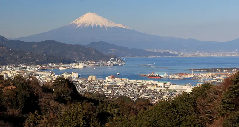
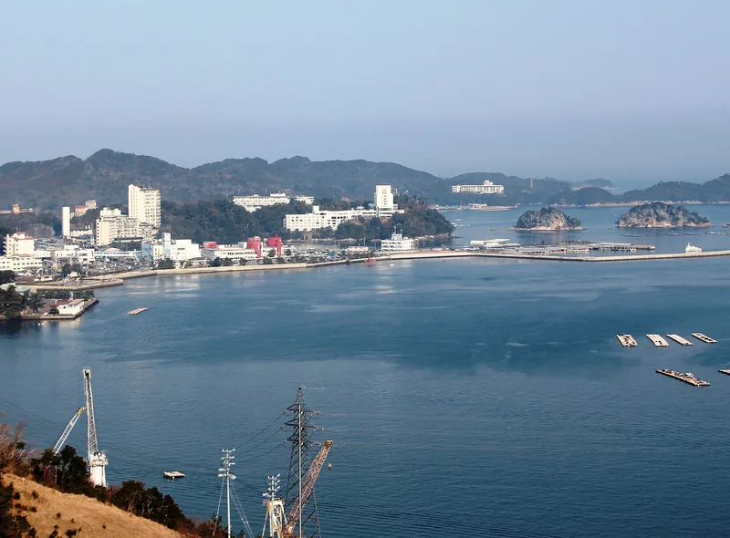
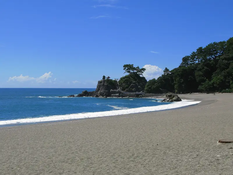
Which ports are inside the area? The Cabinet Office’s list (July 2025) names 30 prefectures and 723 municipalities. Where we have port pages:
| Port | In the advisory area? | In the stricter tsunami-evacuation zone? |
|---|---|---|
| Shimizu (Shizuoka City) | Yes | Yes |
| Toba | Yes | Yes |
| Kochi | Yes | Yes |
| Osaka | Yes | No |
| Kobe | Yes | No |
| Takamatsu | Yes | No |
| Beppu | Yes | No |
| Kagoshima | Yes | No |
| Yokohama, Nagasaki, Sasebo, Hiroshima, Miyakojima | Yes | No |
| Tokyo | Islands only, not the port wards | No |
| Hakodate, Otaru, Kushiro, Aomori, Sendai-Shiogama, Akita, Sakata, Niigata, Kanazawa, Tsuruga, Sakaiminato | No | No |
| Fukuoka, Maizuru, Naha, Ishigaki | No | No |
Miyazaki, not one of our port pages, is in both lists. The “stricter zone” is the Cabinet Office’s designation for places where flooding of 30 cm or more is expected within 30 minutes of the quake. It describes the municipality, not a particular quay.
A similar system exists for the north-east coast: after the 20 April 2026 quake JMA issued a Hokkaido and Sanriku subsequent-earthquake advisory, covering the area from off Nemuro to Sanriku. It follows the same logic of a raised chance for about a week, and the same advice to prepare.
As of JMA’s regular review on 7 September 2026, no unusual change had been observed on the Nankai Trough.
How often this happens, honestly
JMA’s 2025 summary gives the scale without drama:
- 4,456 earthquakes recorded at intensity 1 or above across Japan; 112 at intensity 4 or above; 15 at intensity 5 lower or above.
- 22 earthquakes of magnitude 6 or more; over the past 107 years the yearly median is 16.
- Tsunami warnings or advisories after five earthquakes: one at Tsunami Warning level (30 July, from Kamchatka) and four advisories.
Most of those, you would never notice. We cannot give you a per-cruise probability, and no one should claim to. What the numbers do show is that JMA issued tsunami advisories or warnings five times in 2025, and only one reached warning level.
Four minutes before you sail
- Install the Safety tips app and set it to English.
- Learn the buzzer tone. JMA’s Earthquake Early Warning page links to the carriers’ demonstration of the phone alert, so you will recognise it.
- Know where high ground is in each port. Look at the walk from the terminal in our port guides and the first ten minutes ashore.
- Write the ship’s emergency number and all-aboard time on paper, in case your phone is dead or has no signal.
Typhoons are the more common disruption on a Japan cruise; see typhoons and your Japan cruise, coast by coast.