
Home / Ports / Miyakojima / Higashi-Henna Cape
Spot guide · MiyakojimaHigashi-Henna Cape
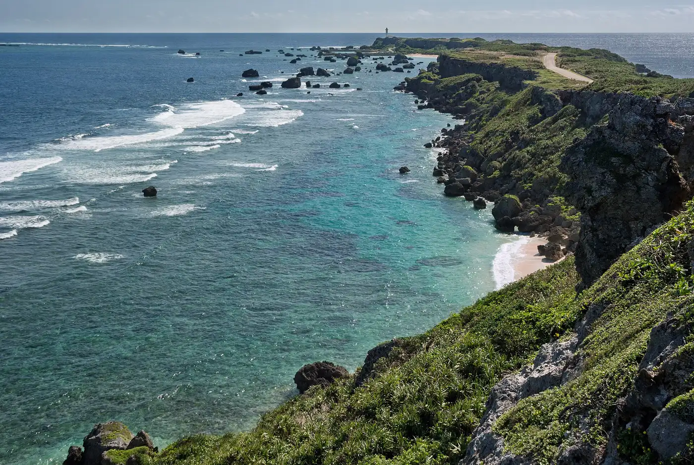
Two kilometres of cliff-top grass dividing two seas, with a lighthouse at the end
The island’s southeastern corner narrows to a two-kilometre blade of raised coral, ocean on both sides — the Pacific beating the cliffs to your right, the East China Sea lying flat to your left, sometimes in visibly different moods at once. It is a nationally designated Place of Scenic Beauty, and the island’s one great walk that involves no sand.
Along the path sit house-sized boulders that look decorative and are not: they are tsunami stones, thrown onto the cape by the great Meiwa tsunami of 1771. The prettiest walk on the island is also its most legible geology lesson.
Five things the plaques won't tell you
- Climb the lighthouse — around a hundred steps, ~¥300, and the only view that shows the cape’s full blade.
- Wind is the cape’s weather even on calm days; hats need a hand on them.
- Easter lilies carpet the cape in April–May, which is its single most photogenic window.
- There is shade at the parking end and none on the walk — carry water in summer.
- The tsunami stones are marked; read one plaque and the whole coastline reorganises itself in your head.
The prettiest walk on the island is also its most legible geology lesson.
Guided days from Miyakojima
Booked before you sail — there is no tour desk at the pier. Booking through these links supports the site.
 4.9★ · 393 reviews
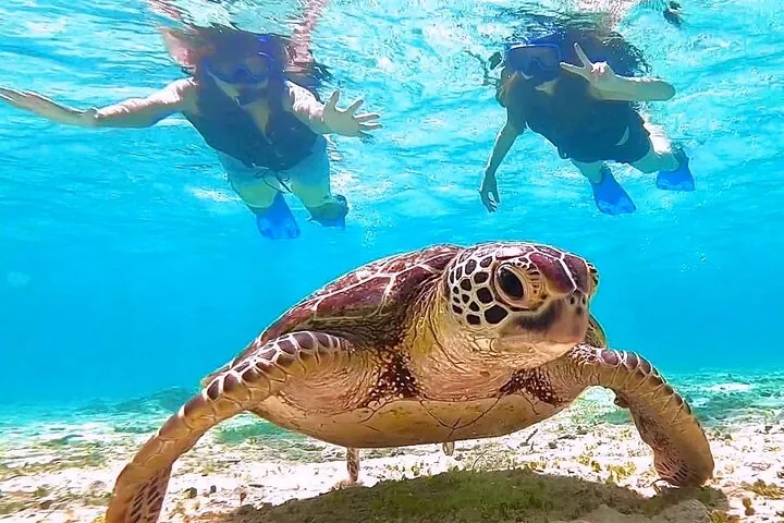
Okinawa Miyako Half Day Sea Turtle Snorkel with Free Photos
From US$45.
Why we list it →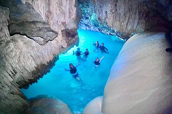 4.8★ · 108 reviews
Okinawa Miyako Day Trip Sea Turtle Snorkel and Pumpkin Cave
From US$97.
Why we list it →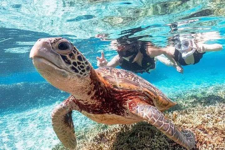 4.8★ · 103 reviews
Okinawa Miyako Sea turtle Snorkeling Free Pick up and Drop off
From US$45.
Why we list it →More in Miyakojima
 Spot guide
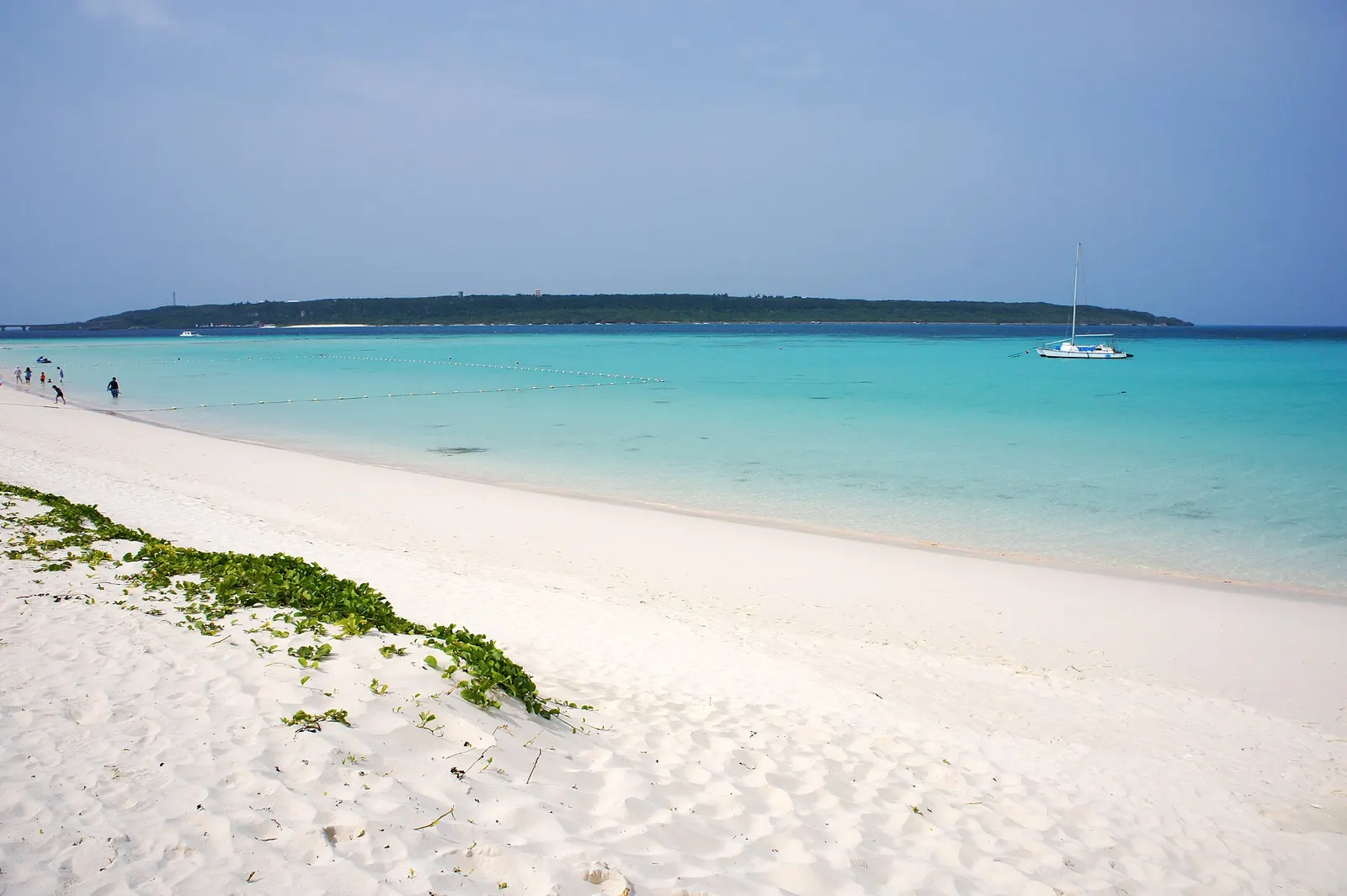
Yonaha Maehama
Seven kilometres of the sand every Japanese ranking calls the country’s best
Open the guide →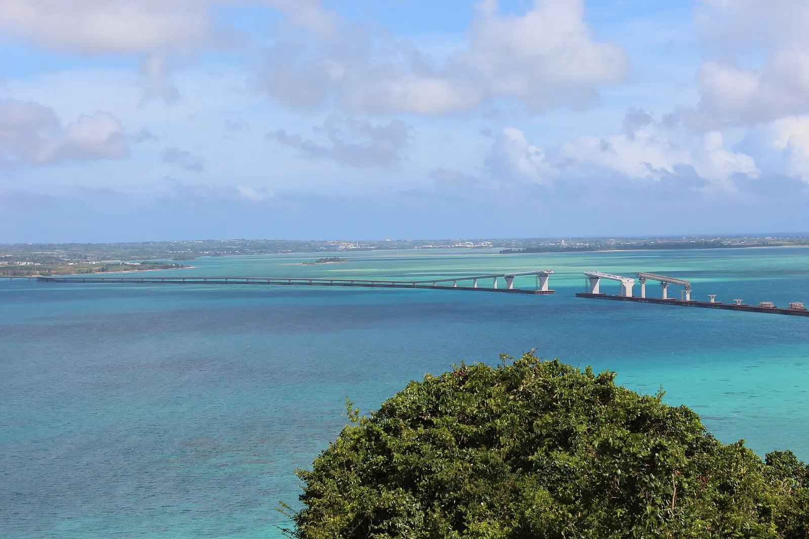 Spot guide
Irabu Ohashi
The longest toll-free bridge in Japan, and the best five minutes of road in the country
Open the guide → Spot guide
Sunayama Beach
Over a sand dune to a small cove, six minutes by taxi from the terminal, with the famous arch fenced off
Open the guide →Questions people ask here
Is Higashi-Henna Cape worth the drive from the cruise port?
On calls of six hours or more, yes — it is the island’s best non-beach sight and its finest walk. On short calls the 80-minute round-trip drive eats the day; the Irabu bridge delivers comparable drama at a quarter of the distance from the quay.
What are the huge boulders on the cape?
Tsunami stones — coral blocks the size of houses thrown onto the clifftop, most of them by the Meiwa tsunami of 1771 that devastated the Miyako and Yaeyama islands. They are studied, dated and left where the sea put them.