
The Meiwa tsunami
A third of the Yaeyamas died in one morning in 1771, and the rocks are still where it left them
On the morning of 4 April 1771, an earthquake off the Yaeyamas sent a wave into these islands that killed roughly twelve thousand people — about a third of everyone alive here. Boulders the size of houses are still sitting inland where the water put them.
The earthquake struck early in the morning. The wave that followed struck the southern and eastern coasts of Ishigaki hardest and swept far inland across the flat southern plain.
The death toll across the Yaeyamas and Miyako is generally put at around twelve thousand. Ishigaki’s population is thought to have fallen by roughly half, and some villages ceased to exist. It is, by proportion of population killed, among the worst natural disasters in Japanese history.
How high
Contemporary records claimed run-up heights of over eighty metres, and that figure circulated for two centuries. Modern geological work has revised it down substantially — the current scientific consensus puts the maximum run-up at around thirty metres, which is still catastrophic and still among the highest ever recorded in Japan.
Scattered across the island’s northern and eastern shores are the tsunami-ishi — coral boulders weighing hundreds of tonnes, carried inland by waves and left where the water dropped them.
The stones
The best known is the Tsunami Ufuishi, a coral block the size of a small house sitting in a field well back from the sea. Several of these boulders have been dated, and they record more than one event over the last several thousand years.
They are, in effect, a hazard map written in rock. Japanese tsunami research uses them, and they are the reason this island’s coastal geology is studied internationally.
And then it got worse
The aftermath was compounded by the poll tax, which the administration continued to levy on a population that had lost a third of its people and most of its farmland to salt. Famine and malaria followed, and the Yaeyamas did not recover their pre-1771 population for well over a century.
If you visit only the turquoise bay and the sand lanes, you will leave with an impression of these islands as uncomplicatedly beautiful. They are also a place that was nearly emptied within living memory of its own oral tradition.
How it happened
- 4 Apr 1771An earthquake off the Yaeyamas
Early morning, and then the wave
- that morning~12,000 dead across Yaeyama and Miyako
About a third of the population
- afterThe poll tax continues to be levied
On survivors, on salted farmland
- 19th c.Famine and malaria follow
Population does not recover for over a century
- modernRun-up revised from 80 m to about 30 m
Still among the highest recorded in Japan
- nowThe boulders are a hazard record
Dated, studied, and left where they landed
Where this becomes real on your port day
Give the Yaeyama Museum forty minutes. It is the only place that tells this in a way a visitor can follow.

The vocabulary of the wave
- Meiwa no Ōtsunami 明和の大津波
- The great tsunami of 1771. About a third of the population.
- Tsunami-ishi 津波石
- Boulders carried inland by waves and left there. A hazard map in rock.
- Ufuishi 大石
- "Great stone." The best known of them, in a field near the sea.
- Nintōzei 人頭税
- The poll tax. Still levied after the wave, on the survivors.
FAQ
What was the 1771 Meiwa tsunami?
A tsunami generated by an earthquake off the Yaeyama islands on 4 April 1771, which killed around twelve thousand people across Yaeyama and Miyako — roughly a third of the population. Ishigaki’s population is thought to have halved. Modern geological work puts the maximum run-up at about thirty metres, revised down from historical claims of over eighty.
What are the tsunami stones on Ishigaki?
Coral boulders weighing hundreds of tonnes, carried inland by tsunami and left where the water dropped them. Several have been dated and record more than one event over thousands of years, which makes them a natural hazard record — the reason Ishigaki’s coastal geology is studied internationally.
More from Ishigaki
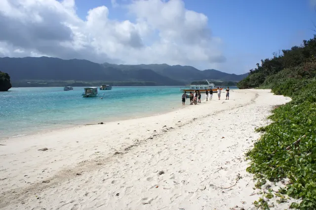
Four hundred kilometres from Okinawa, two hundred and seventy from Taiwan
Read →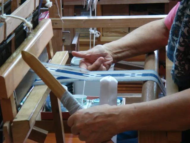
A pattern that is also a sentence, and once was also a tax
Read →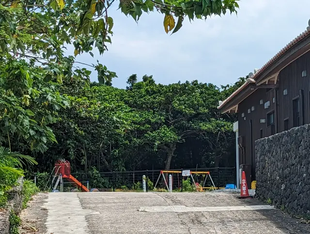
A village of 350 people that decided, in 1986, not to sell
Read →
Japan’s first Dark Sky Place, and the only part of the country that sees the Southern Cross
Read →