
Two hundred and eight
A coastline that drowned, and a name that gave up counting
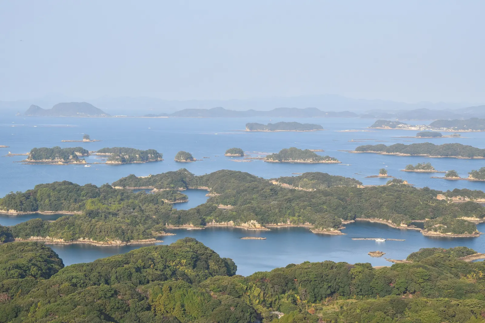
Kujukushima means "ninety-nine islands," which in older Japanese was a way of saying "too many to count." The actual figure is 208 — the densest cluster of islands anywhere in Japan, in about twenty-five kilometres of water, and only four of them have anyone living on them.
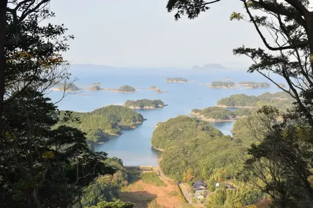
This is a ria coastline: a landscape of hills and valleys that was flooded when sea levels rose, leaving the hilltops as islands and the valleys as the channels between them. The result is unusually intricate — deep inlets, narrow passages, and islets close enough together that a boat threads rather than crosses.
Almost all of them are wooded to the waterline. There is no development, because there is no room and no water.
A national park, from 1955
The whole area is part of Saikai National Park. That designation is why the islands are still empty and why the water between them is clean enough for the thing the region actually lives on.
Oysters. The sheltered, nutrient-rich water between the islets is close to ideal, and Kujukushima oysters are the reason to be in this port between November and March.
How to see them
Three ways, in increasing order of effort. The sightseeing boat from Pearl Sea Resort runs a fifty-minute loop through the islets at a fixed public fare — no operator, no booking, no markup. Tenkaiho and Ishidake give the classic elevated views, free. And sea kayaking from the same resort puts you in the channels at water level.
The boat is the one with a timetable, so check the sailing board on arrival and build the day around it.
The oyster huts
From about November, kaki-goya open along this shore: rough shelters with charcoal grills where you buy oysters by the bucket and cook them yourself, badly, with gloves and a shucking knife.
It is cheap, filthy and communal, and it is the best meal available in this port in winter. Nobody sells it as an excursion, which is exactly why it is good.
How it happened
- geologyA hill landscape floods as the sea rises
Hilltops become islands; valleys become channels
- 1955Saikai National Park is designated
Which is why they are still empty
- always208 islands; four inhabited
The densest cluster in Japan
- Nov–MarOyster huts open along the shore
Buy by the bucket, grill it yourself
Where this becomes real on your port day
Take the public boat, then eat oysters in a hut if it is winter. Neither needs booking and both are cheap.
The vocabulary of the islands
- Kujukushima 九十九島
- "Ninety-nine islands" — meaning too many to count. There are 208.
- Ria リアス海岸
- A drowned valley coastline. Intricate, deep, and sheltered.
- Kaki-goya かき小屋
- An oyster hut. Charcoal, gloves, a bucket, and no ceremony.
- Saikai 西海国立公園
- The national park, since 1955. The reason the islands are empty.
FAQ
How many islands does Kujukushima have?
Two hundred and eight, of which only four are inhabited — the densest island cluster in Japan, in about twenty-five kilometres of water. The name means "ninety-nine islands," which in older Japanese usage simply meant too many to count.
When can you eat Kujukushima oysters?
From about November to March, in kaki-goya — rough shore huts with charcoal grills where you buy oysters by the bucket and cook them yourself. The sheltered water between the islets is close to ideal for growing them, and nobody sells it as an excursion, which is part of why it is good.
More from Sasebo
Four thousand people in 1886. A naval base in 1889. Two navies today.
Read →
The only rule is that it must be made after you order it
Read →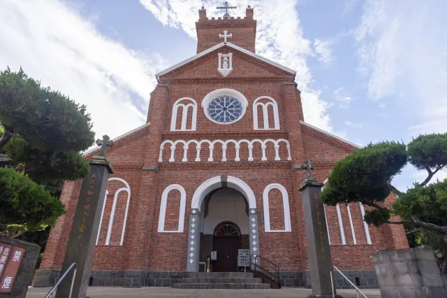
Two hundred and fifty years of hiding, and then a brick church built by hand
Read →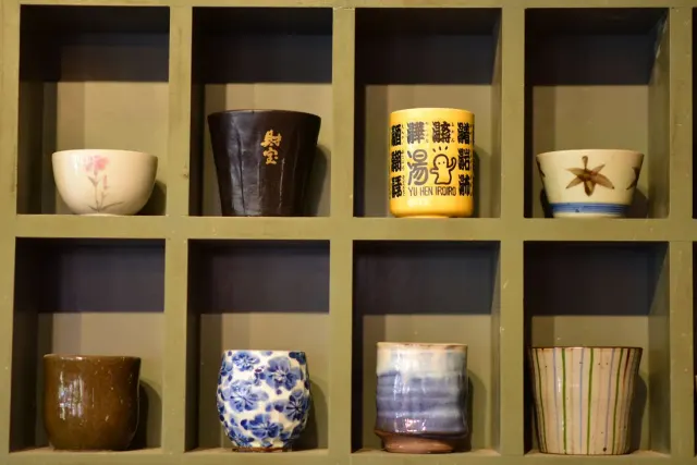
Korean potters, a domain’s secret kiln, and children painted on white porcelain
Read →