
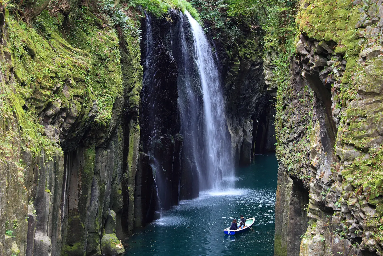
Takachiho Gorge and Manai FallsPhoto: TANAKA Juuyoh (田中十洋) / CC BY 2.0
Takachiho Gorge was cut by the Gokase River through a pyroclastic flow from Mount Aso. Its cliffs are 80 m high on average and 100 m at the highest, and run for about 7 km.
- Getting there
- Hired car or taxi, 62.9 km, about 1 h 15 min each way, our estimate; or a ship’s tour
Checked · Researched, not yet visited · times from official timetables and our estimates · Takumi Yamada
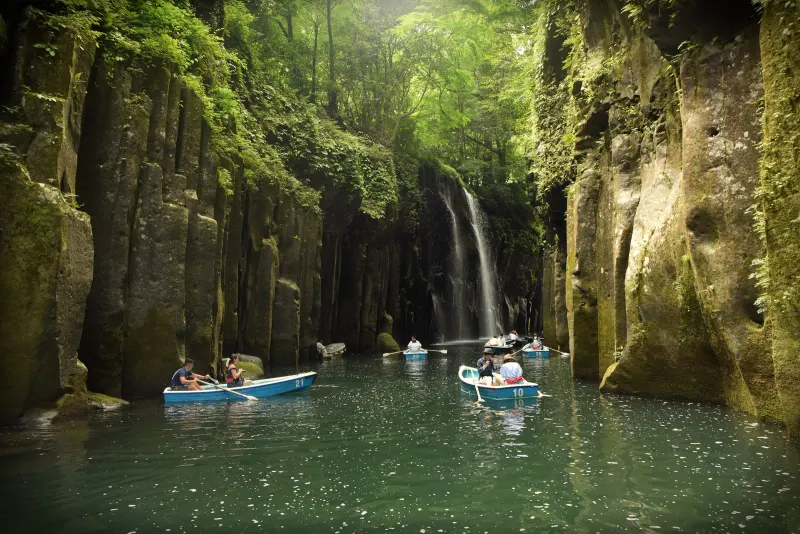
Columnar cliffs 80 m high on average along the Gokase River, with the 17 m Manai Falls dropping into the water. A path of about 1 km follows the gorge to the lookout over the falls; it needs no ticket. With 2.5 hours of driving it fits a call of nine hours or more in port: Seabourn Encore’s and Seven Seas Explorer’s ten-hour calls, and Asuka III’s nine.
- This needs 7 hr, so it only fits a 9-hour call or longer. On a shorter one it will cost you the ship, not the view.
- It is a view, so it is weather. Check the morning sky before you commit the hours.
Takachiho Gorge and Manai Falls and your ship
Both pins on one map, so the distance is a fact rather than a feeling.
Where the 7 hr goes
The hour before all-aboard is not in this bar; it is already set aside. The minutes are our estimates from timetables and maps, not timed on the ground.
If your ship is late, cut the 4 hr 30 min in the middle. Never cut the hour at the end.
Routes that already include it
Finished days timed from official timetables and our estimates, with this stop in them.
What to put beside it
Each of these still lands you back aboard with the hour to spare.
 See · ~2.5h
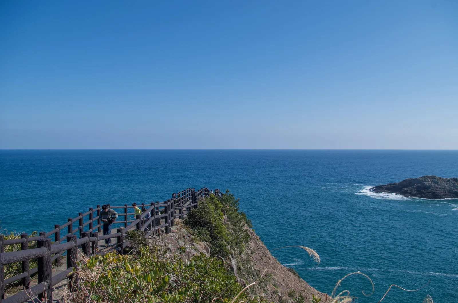
Umagase and the Hososhima Lighthouse
The tip of Cape Hyuga, over the Pacific.
See the detail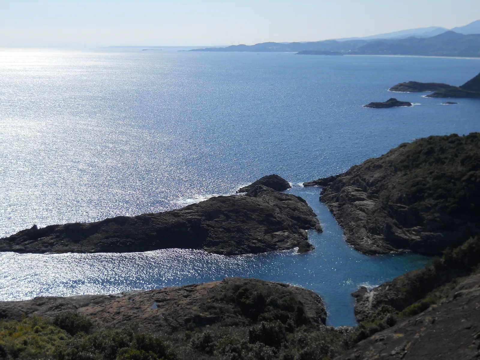 See · ~2h
Sea of the Cross
A rock reef split 200 m east to west and 220 m north to south, so that the sea makes a cross; the name is from the Portuguese cruz.
See the detail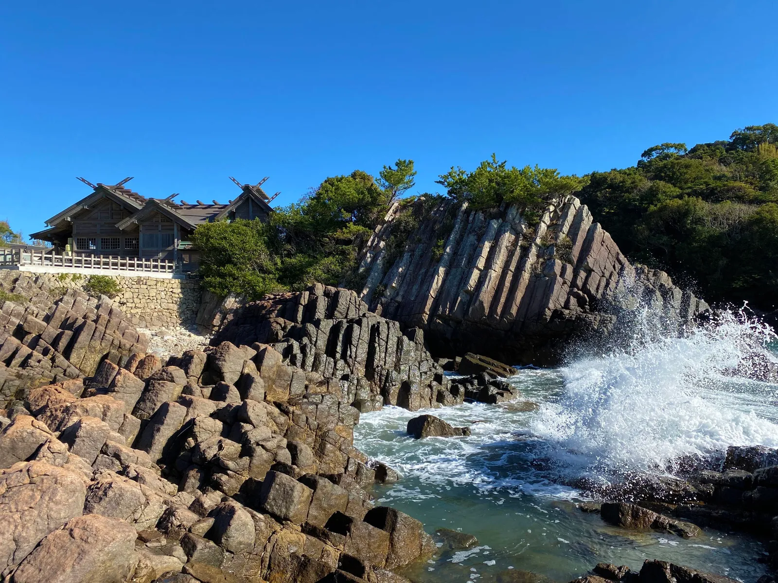 See · ~1.5h
Omi Shrine and the Udo cave
A shrine on columnar rock beside Isegahama beach, known locally as Hyuga’s Ise.
See the detail