
Home / Omaezaki / Complete guide / Your course
Your Omaezaki day, your wayBuild your own Omaezaki course
Tick the places you want, in order: the map draws your day from the ship and back, and Google Maps opens it.
Tick the places, in the order you want them
The map numbers them and draws the route from your ship and back; the buttons open the same route in Google Maps, in parts a phone can draw (up to three stops at a time on foot, each train or bus ride on its own). Or start from one of our timed model days and change it.
Kakegawa Castle, the Tea Museum and Grinpia by hourly taxi
- 07:351. JR Kakegawa Station (Shinkansen, Kodama only)
- 09:002. Kakegawa Castle
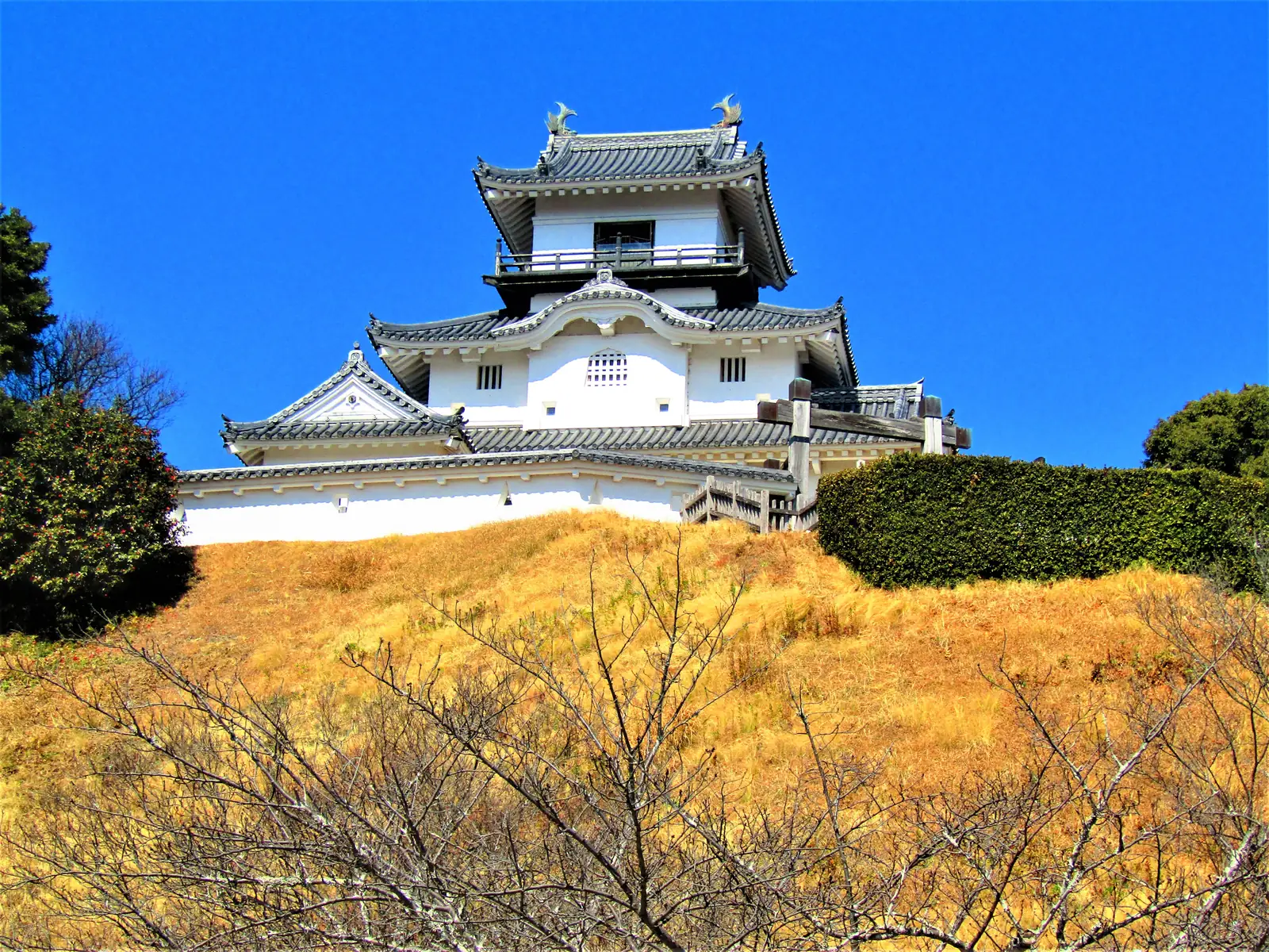
Photo: Dandy1022 / CC BY-SA 4.0 - 10:503. Tea Museum Shizuoka, Kanaya
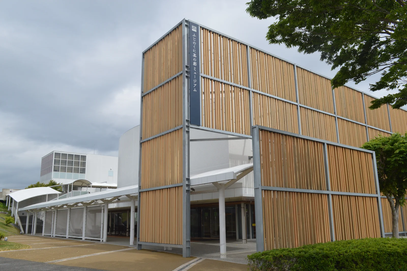
Photo: Asturio Cantabrio / CC BY-SA 4.0 - 12:304. Grinpia Makinohara
- 13:305. Nabura Market
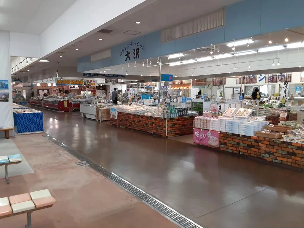
Photo: Kottanda / CC BY-SA 4.0
Open this day in Google Maps, in 6 parts
Shizuoka city by hired car
- 07:451. Nihondaira Ropeway, top station
- 09:202. Kunozan Toshogu
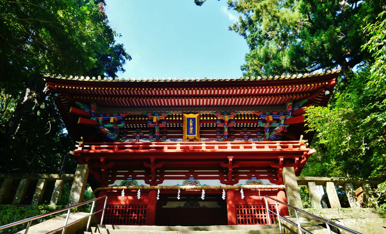
Photo: Zairon / CC BY-SA 4.0 - 11:153. Tea Museum Shizuoka, Kanaya
Photo: Asturio Cantabrio / CC BY-SA 4.0 - 11:154. Sunpu Castle Park (buildings closed Mondays)
Open this day in Google Maps, in 5 parts
The cape only
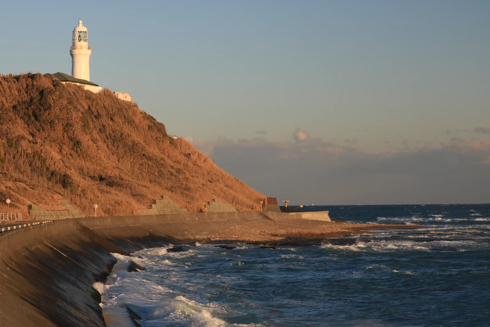
- 08:001. Omaezaki Lighthouse
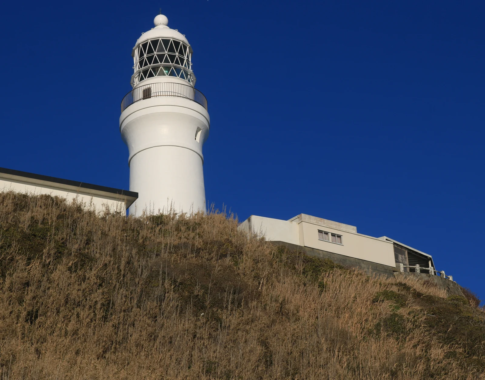
Photo: photo: Qurren (talk) Taken with Canon IXY 430F (Digital IXUS 245 HS) / CC BY-SA 3.0 - 08:002. Omaezaki Cape Park
- 09:453. Nabura Market
Photo: Kottanda / CC BY-SA 4.0 - 12:154. Marine Park Omaezaki
Open this day in Google Maps, in 2 parts
Your berth in Google MapsNo stops ticked yet.
Times, fares and the hour before all-aboard are in the Omaezaki complete guide, with every model day timed from the gangway.
About this map
Where the pins come from, for anyone who wants to know.
Where do the pins come from?
They are the pins on the Omaezaki port page. Google Maps directions use the pins' coordinates, never a name search.