 1 / 6
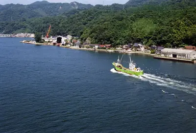
Sakai channel & lighthouse walkPhoto: mstk east / CC BY 2.0
Tap a photo to see it large. 6 photographs, every one credited.
Checked against official sources · updated · Takumi Yamada
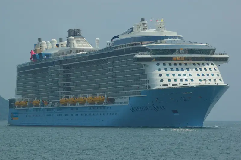
Working fishing fleets and Mt. Daisen on the horizon — the harbor walk photographs better than most sights. Big ships berth at Yumeminato, 6 km away, so take a taxi to the start.
- 2 hr 30 min door to door needs a 4.5-hour call: a 2–3 hour stop cannot hold it. Pick something closer instead.
Why Sakai channel & lighthouse walk is famous
The Sakai channel is the narrow water connecting Lake Nakaumi to the sea, spanned by the Sakai Suido Bridge. The Eshima Ohashi, internet-famous for looking impossibly steep in a compressed telephoto shot, crosses Lake Nakaumi from Watari, at the south end of the city. The walk along the channel is flat, working and unglamorous, which is the actual town.
Sakai channel & lighthouse walk and your ship
Both pins on one map, so the distance is a fact rather than a feeling.
Where the 2 hr 30 min goes
Counted from the moment you step off the gangway, about 30 minutes after the ship arrives. The hour before all-aboard is not in this bar; it is already set aside.
15 minutes each way is the measured figure for taxi ~15 min from the terminal, not the optimistic one. If your ship is late, cut the 2 hr in the middle. Never cut the hour at the end.
What to put beside it
Each of these still lands you back aboard with the hour to spare.