
Home / Kagoshima / Complete guide / Your course
Your Kagoshima day, your wayBuild your own Kagoshima course
Tick the places you want, in order: the map draws your day from the ship and back, and Google Maps opens it.
Tick the places, in the order you want them
The map numbers them and draws the route from your ship and back; the buttons open the same route in Google Maps, in parts a phone can draw (up to three stops at a time on foot, each train or bus ride on its own). Or start from one of our timed model days and change it.
The volcano and Tenmonkan
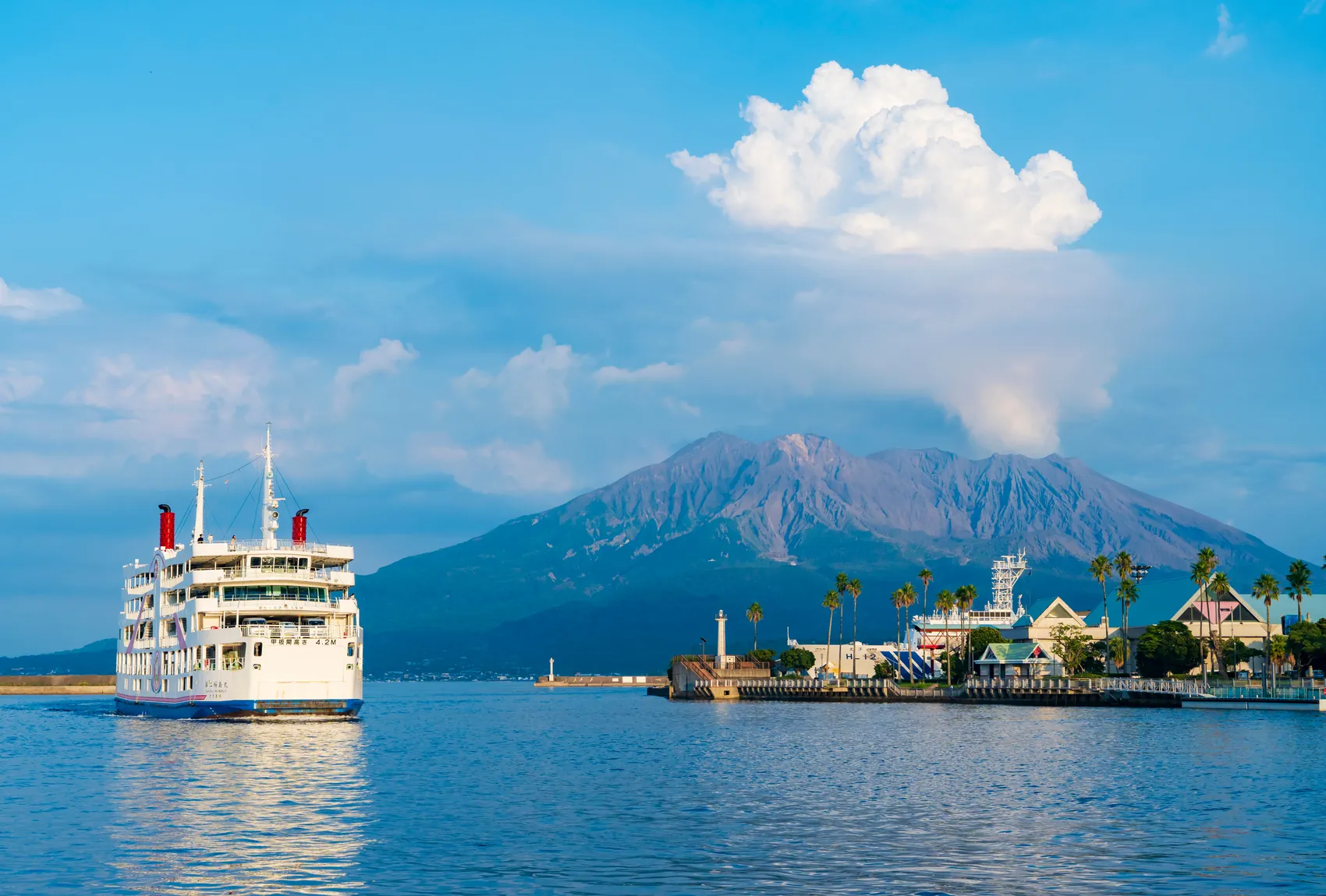
- 10:001. Sakurajima Ferry Terminal
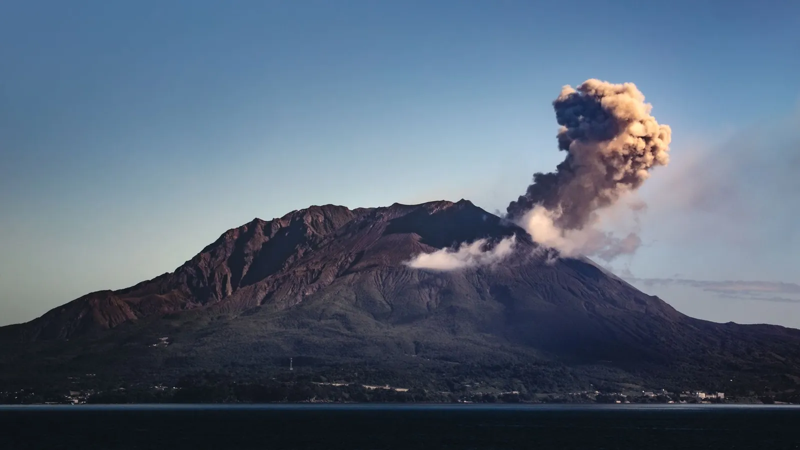
Photo: Marek Piwnicki / Pexels - 10:302. Shiroyama observatory
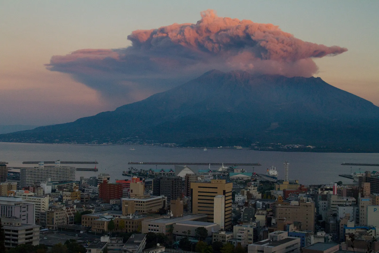
Photo: KimonBerlin / CC BY-SA 2.0 - 13:113. Tenmonkan arcades
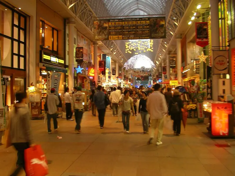
Photo: Mike Knell from Vienna, Austria / CC BY-SA 2.0 - 13:204. Tenmonkan Mujaki
The volcano from the gangway
From Kita-futo, and back there.
- 08:401. Sakurajima Ferry Terminal
Photo: Marek Piwnicki / Pexels - 10:102. Shiroyama observatory
Photo: KimonBerlin / CC BY-SA 2.0 - 11:253. Kagoshima Aquarium
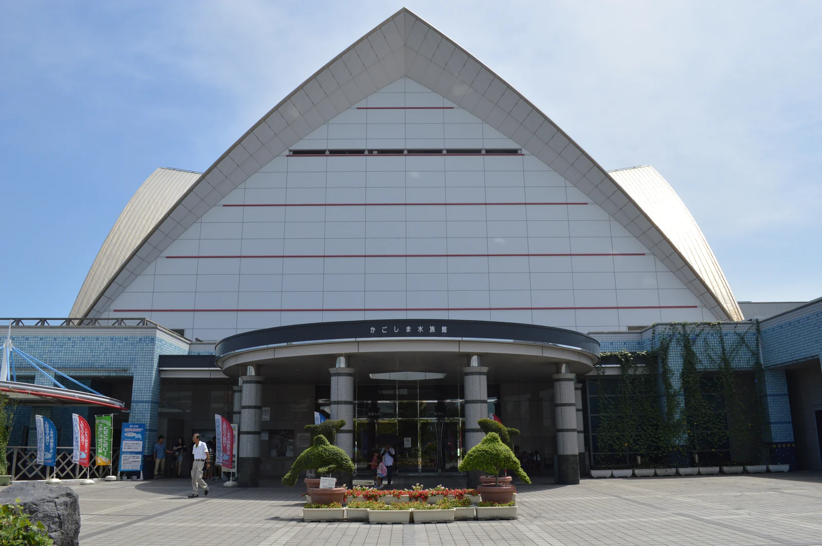
Photo: Totti / CC BY-SA 4.0
Open this day in Google Maps, in 2 parts
Garden, volcano and city view
- 08:301. Sengan-en garden
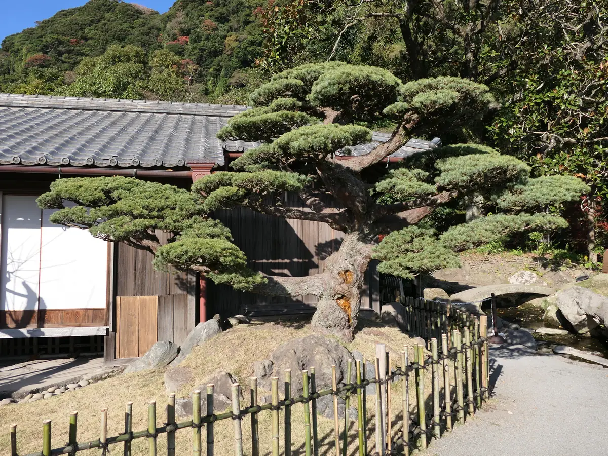
Photo: Hyppolyte de Saint-Rambert / CC BY 4.0 - 11:202. Sakurajima Ferry Terminal
Photo: Marek Piwnicki / Pexels - 13:203. Tenmonkan arcades
Photo: Mike Knell from Vienna, Austria / CC BY-SA 2.0 - 14:394. Shiroyama observatory
Photo: KimonBerlin / CC BY-SA 2.0
Your berth in Google MapsNo stops ticked yet.
Times, fares and the hour before all-aboard are in the Kagoshima complete guide, with every model day timed from the gangway.
What you can tick in Kagoshima
The places on the list that have a page of their own; tap one to read it before you add it.
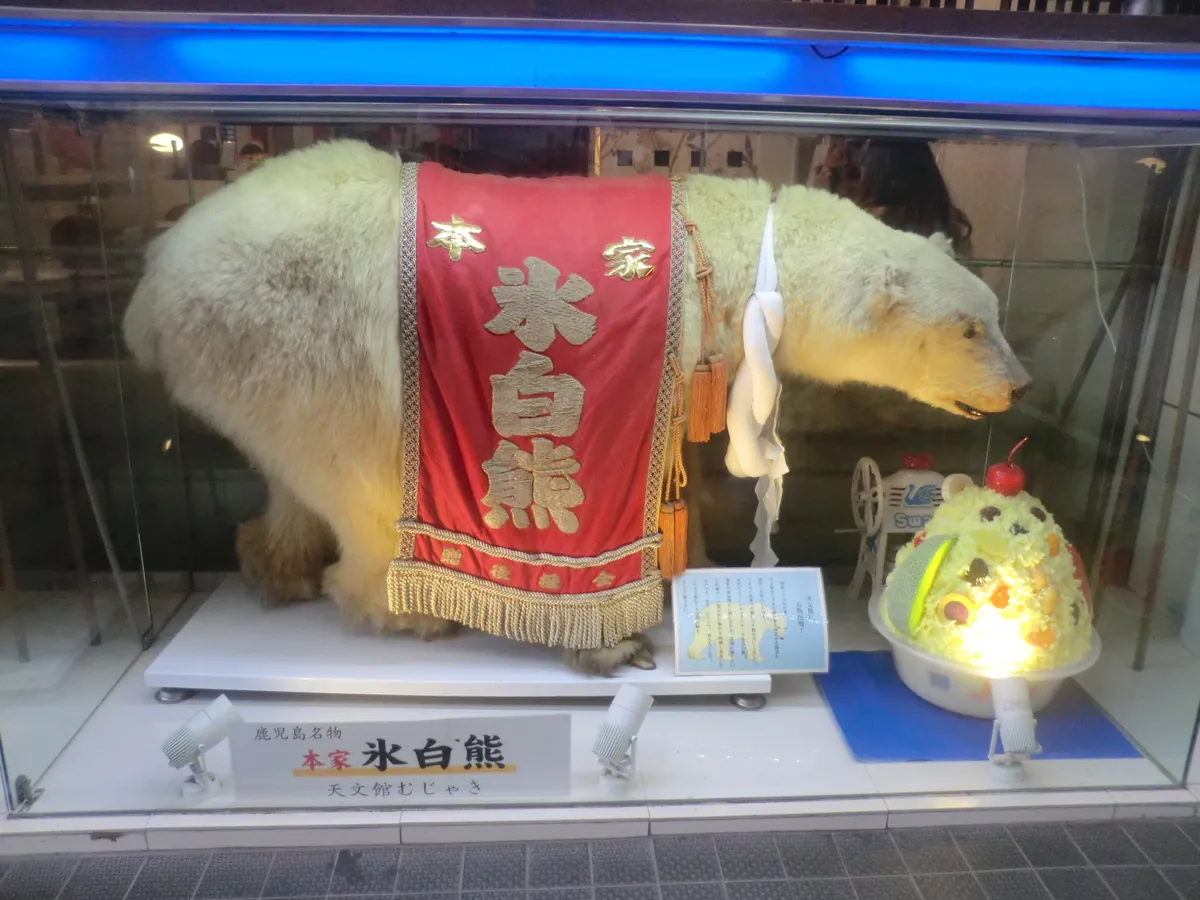
About this map
Where the pins come from, for anyone who wants to know.
Where do the pins come from?
They are the pins on the Kagoshima port page. Google Maps directions use the pins' coordinates, never a name search.