
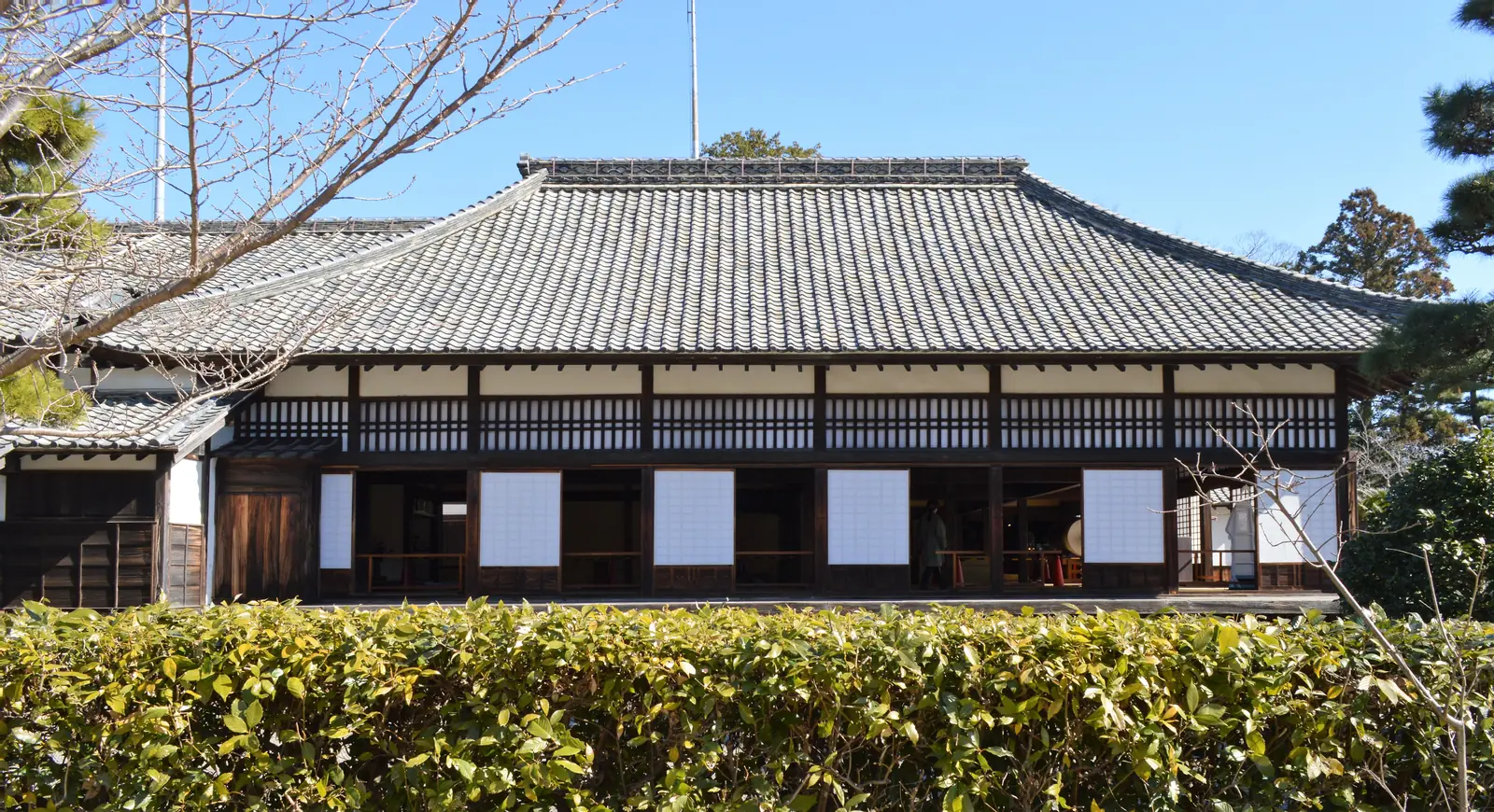
 Photo: Asturio Cantabrio / CC BY-SA 4.0
The detail behind these figures
- Best for
- Rain or strong wind, when the lighthouse is shut anyway. Not on a Tuesday: the museum and market are closed
- Room to spare
- Fits a 7-hour stop with nothing to add (off the ship 30 minutes after arrival, back at the gangway an hour before all-aboard). A longer call gives you the extra time; on this one, do not add a stop.
- What it costs
- Taxis about ¥10,000 + ¥7,000 + ¥12,500 on the meter across the day, our estimates, or hourly hire. Tea Museum ¥500 (free at 70+), castle ¥410.
Checked · Visited in person · times from official timetables and operators · Takumi Yamada
How the day runs
Times are from the moment you step off, not from the scheduled arrival. Everything shifts if your ship is late; the order does not.
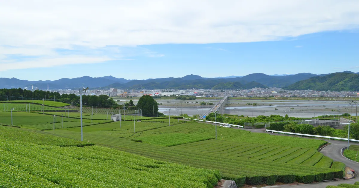
- +0:00Taxi from the wharf to the Tea Museum at Kanaya (~30 min)
28 km; closed Tuesdays
What you will see hereDirections from the ship (by taxi) - +0:30Tea Museum galleries and the tea room
¥500, free at 70+; tea room 9:30–16:00
This stop in Google Maps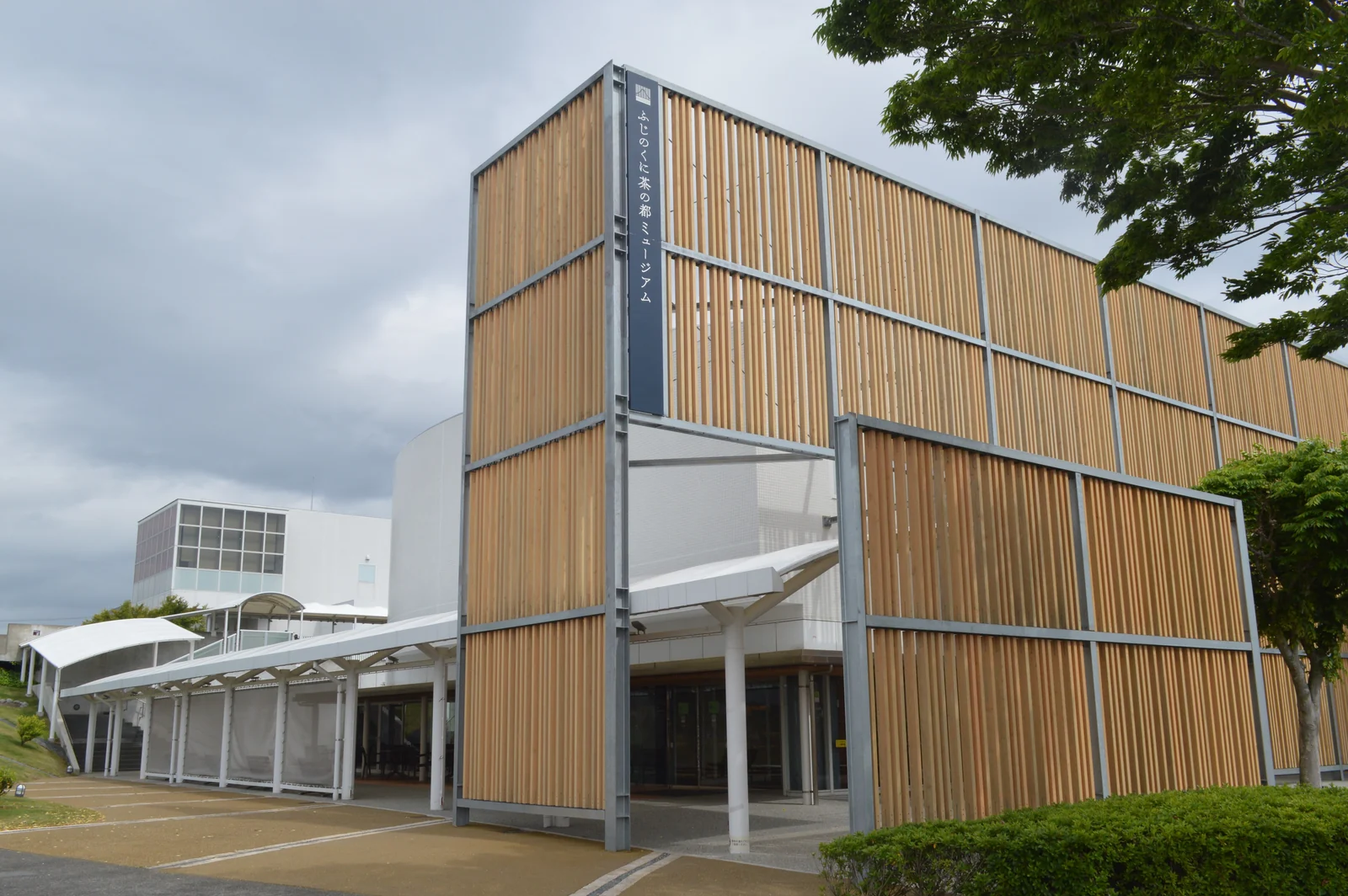
Photo: Asturio Cantabrio / CC BY-SA 4.0 - +1:40Taxi to Kakegawa Castle (~30 min)
About 20 km; our estimate
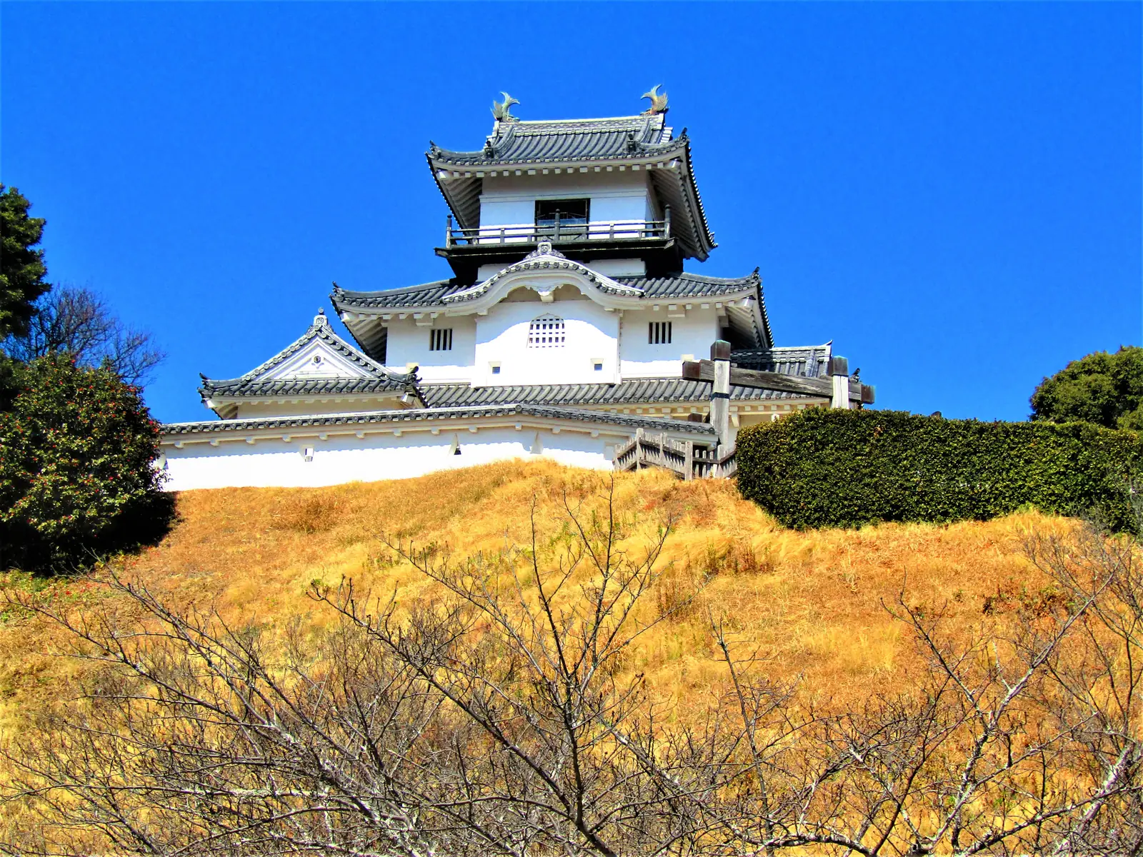
Directions from the previous stop (by taxi)Full guide: Kakegawa Castle - +2:10Kakegawa Goten and the keep, shoes off
¥410; the palace is the roofed half
What you will see hereThis stop in Google MapsPhoto: Asturio Cantabrio / CC BY-SA 4.0 - +3:20Taxi back to Nabura Market (~50 min)
The halls are under cover; cash
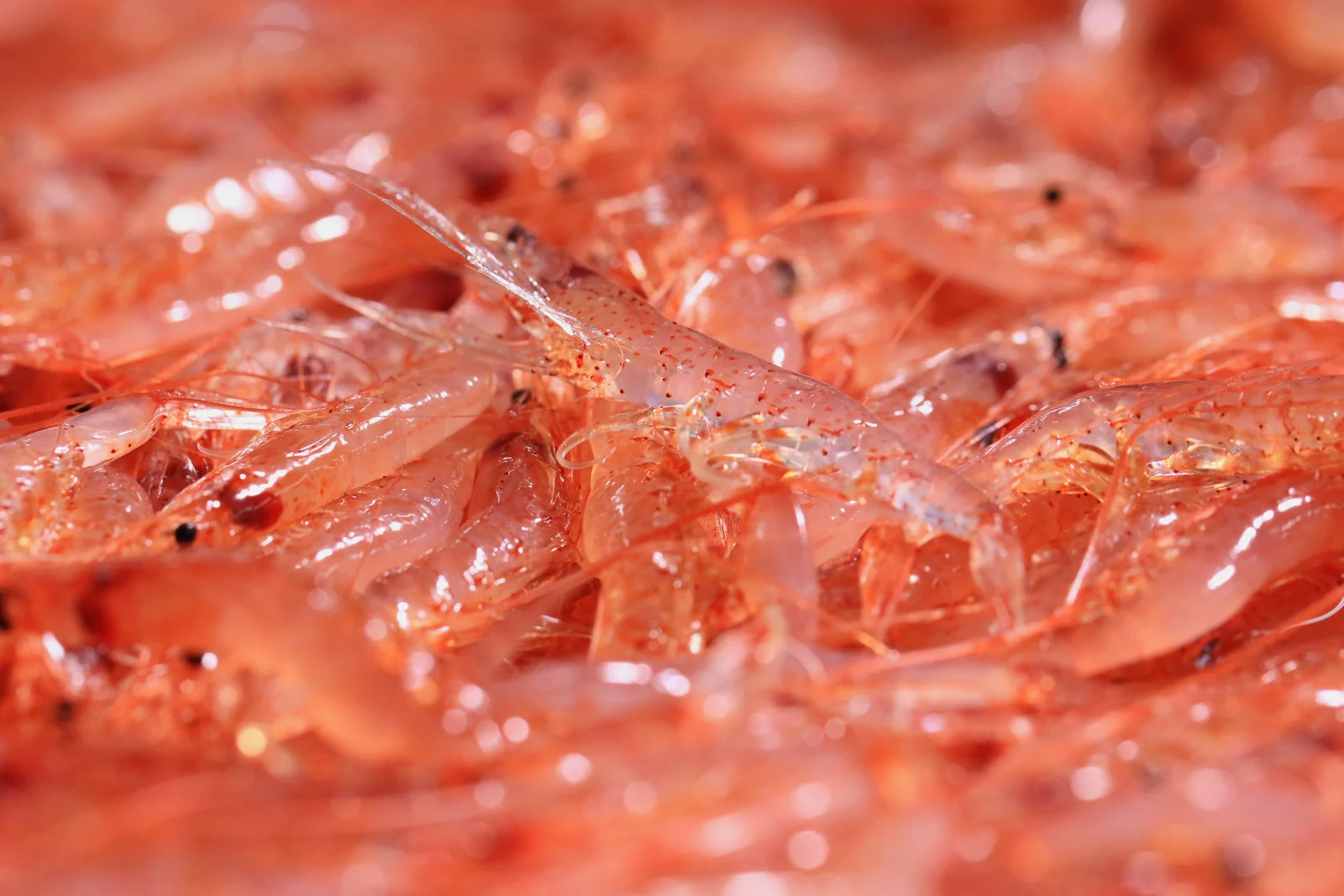
What you will see hereDirections from the previous stop (by taxi) - +4:10Nabura Market: a bowl under cover (30 min)
Closed Tuesdays; cash
This stop in Google Maps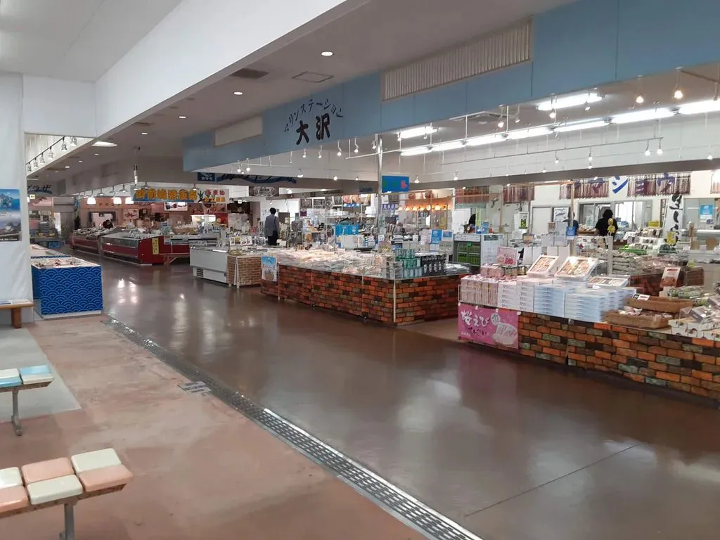
Photo: Kottanda / CC BY-SA 4.0 - +4:40Shuttle or taxi to the wharf (~5 min)Directions back to the ship (on foot)
- +4:50Back at the gangwayYour ship in Google Maps
The whole day in Google Maps
The numbered pins are the stops of this route. Tap a part to open it as directions from your ship and back.
Other places in Omaezaki
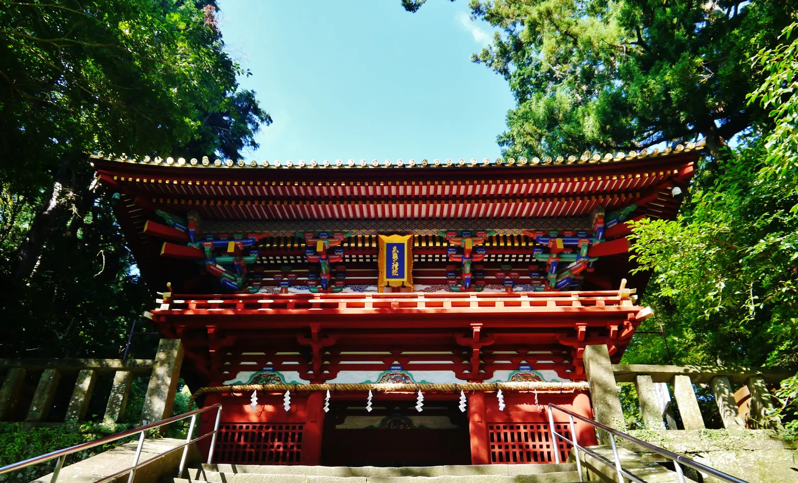
Photographs of the port's other places and stories, for another call or a longer one. Every one is credited.
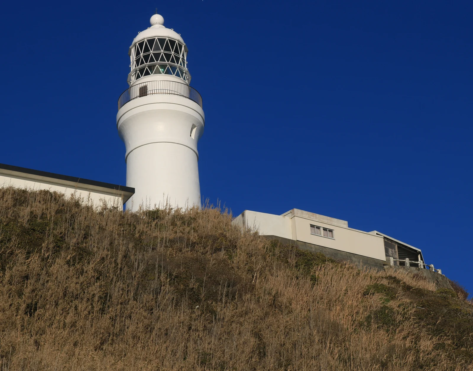
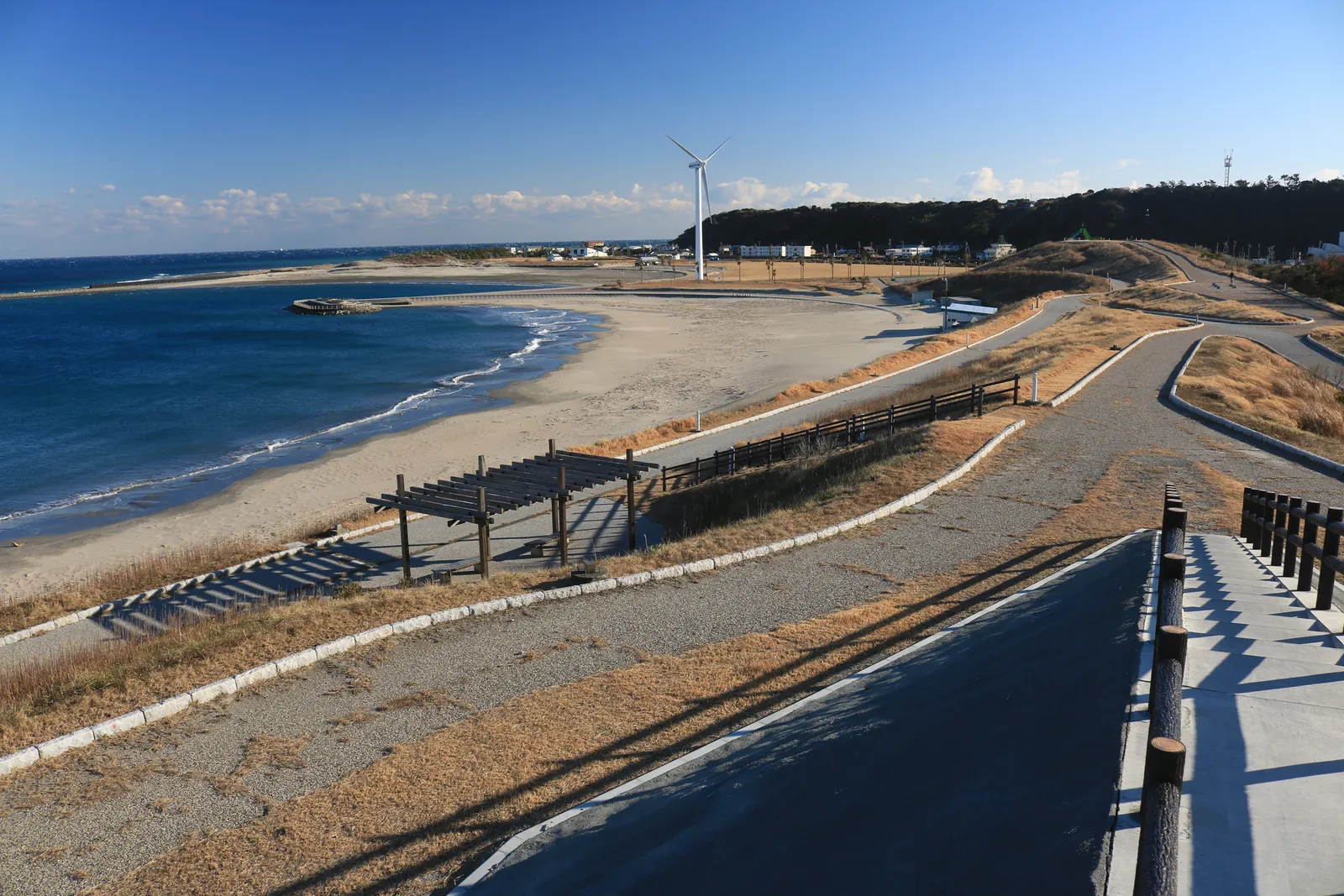
The other routes in Omaezaki
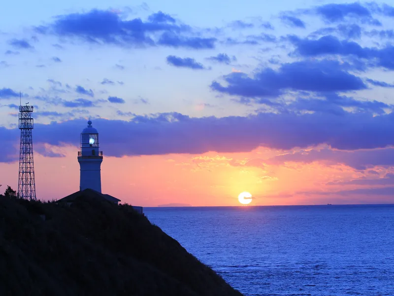 The lighthouse, the cape and a market bowlNeeds a 4-hour call · ~2hAny call; the whole of what the cape offers without a hired car
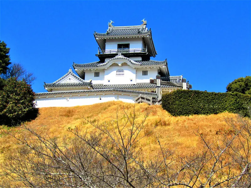 Kakegawa Castle by hired taxiNeeds a 6.5-hour call · ~4.5hA 7-hour call and one real sight beyond the cape
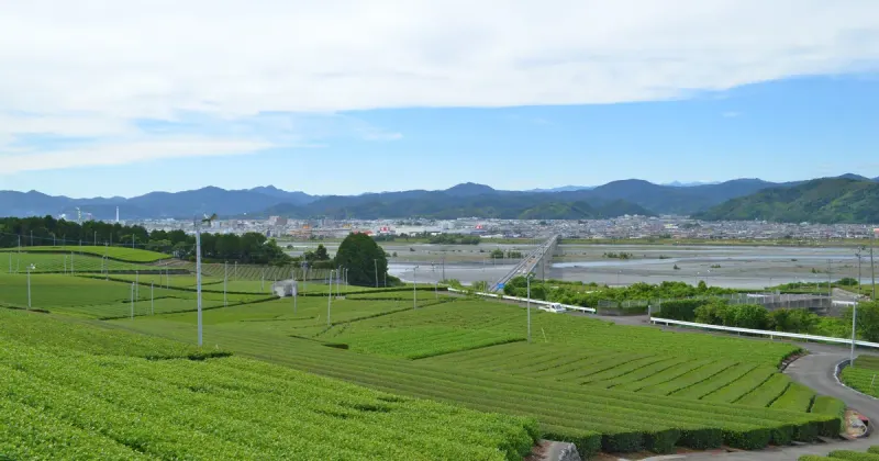 Castle, tea museum and tea factory by hourly hire (07:00–16:00 call)Needs a 9-hour call · ~7hThe 9-hour Westerdam call, gangway by 14:30
About this route
How the map and the Google Maps links are made, for anyone who wants to know.
Why does the map show pins but no walking lines?
Numbers follow the route. Pins are the places themselves; walking lines are not drawn because the best way between two stops can change with the tram, the tide or the weather.
Why does Google Maps open the day in 4 parts?
Google Maps on a phone takes three stops between start and end, and none on a train or bus route, so the day opens in parts. Each step also has its own directions.
Where do the times come from?
Times are counted from the moment you step off, not from the scheduled arrival, and the route ends an hour before all-aboard. Everything shifts if your ship is late; the order does not.