
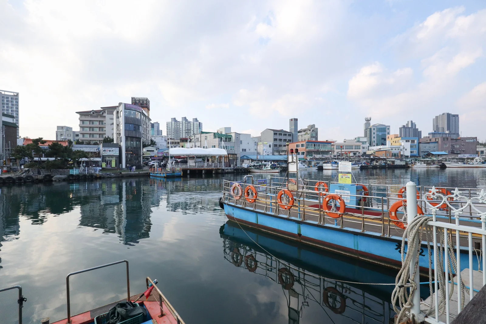
 Photo: Mobius6 / CC BY-SA 4.0
The detail behind these figures
- Room to spare
- Fits a 4-hour stop with nothing to add (off the ship 30 minutes after arrival, back at the gangway an hour before all-aboard). A longer call gives you the extra time; on this one, do not add a stop.
- What it costs
- On foot; the Gaetbae ₩500 each way at the machine. Everything else free.
Checked · Researched, not yet visited · times from official timetables and our estimates · Takumi Yamada
How the day runs
Times are from the moment you step off, not from the scheduled arrival. Everything shifts if your ship is late; the order does not.
- +0:00Walk from the terminal to Abai Village (582 m, 9 min)
Sokcho City’s walking course A; the mural street is always open
Directions from the ship (on foot)Google Maps gives no walking or driving directions in Korea: Kakao Map · Naver Map appFull guide: Abai Village and the Gaetbae ferry - +0:10Abai Village lanes and the mural street
Flat; the refugee quarter settled from 1951
What you will see hereThis stop in Google Maps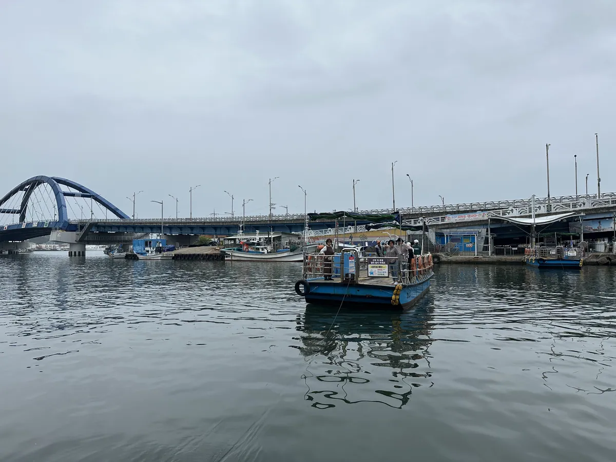
Photo: adam bee / CC BY 2.0 - +0:40Gaetbae ferry across the channel (~5 min)
₩500 at the machine; carry coins in case a foreign card is refused
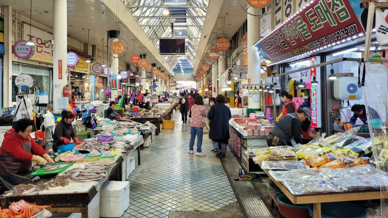
Directions from the previous stop (on foot)Kakao Map · Naver Map appPhoto: Mobius6 / CC BY-SA 4.0 - +0:50Sokcho Tourist & Fishery Market
Basement fish floor and the dakgangjeong alley; 08:00–24:00, each shop keeps its own hours and days off
What you will see hereDirections from the previous stop (on foot)Kakao Map · Naver Map app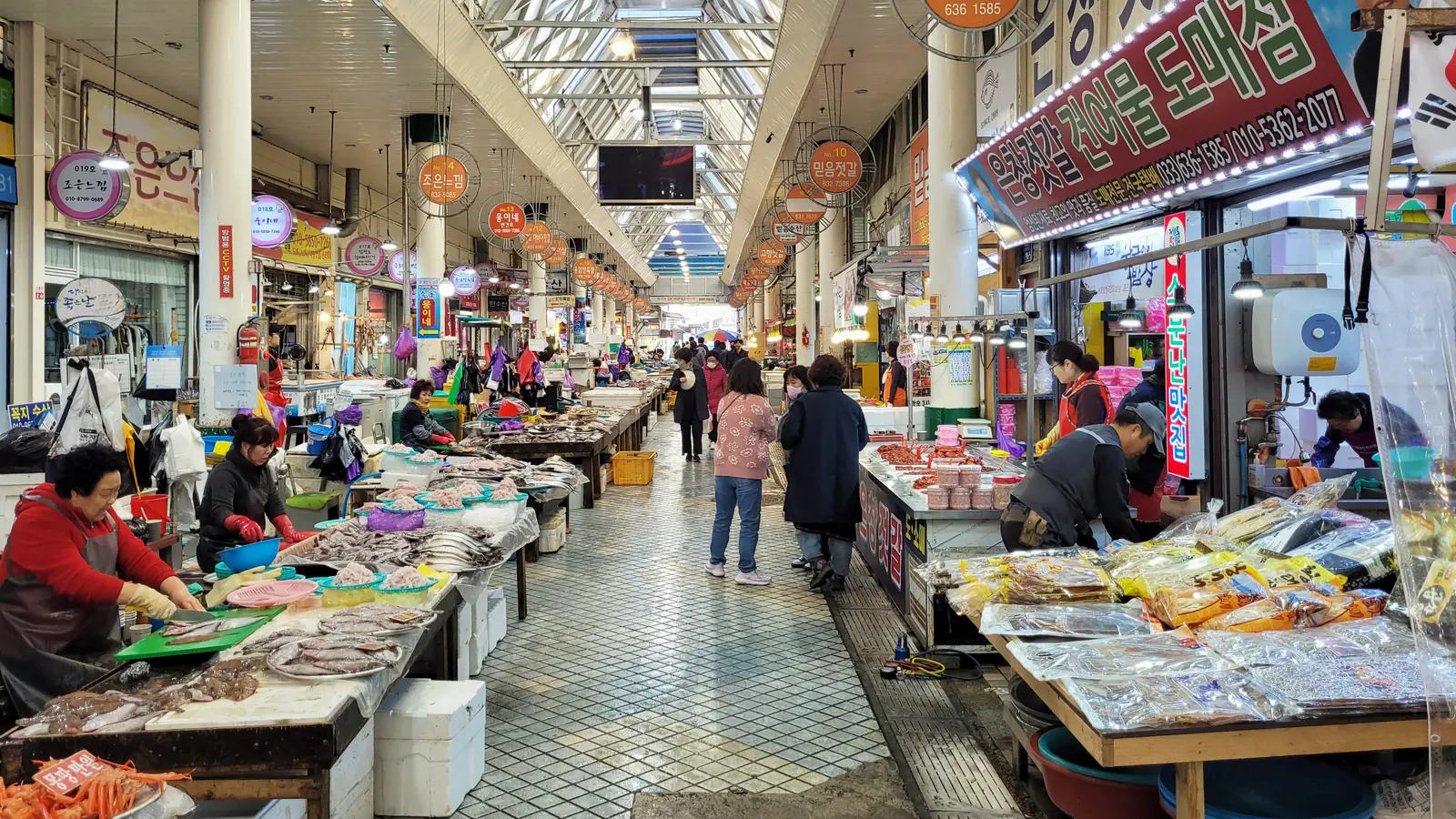
Photo: Bernard Gagnon / CC0 1.0 - +1:35Gaetbae back and walk to the terminal (20 min)
Or the free city shuttle, if it is running; check at the gangway
Directions back to the ship (on foot)Kakao Map · Naver Map app · 속초항 국제크루즈터미널 · 강원특별자치도 속초시 설악금강대교로 136-58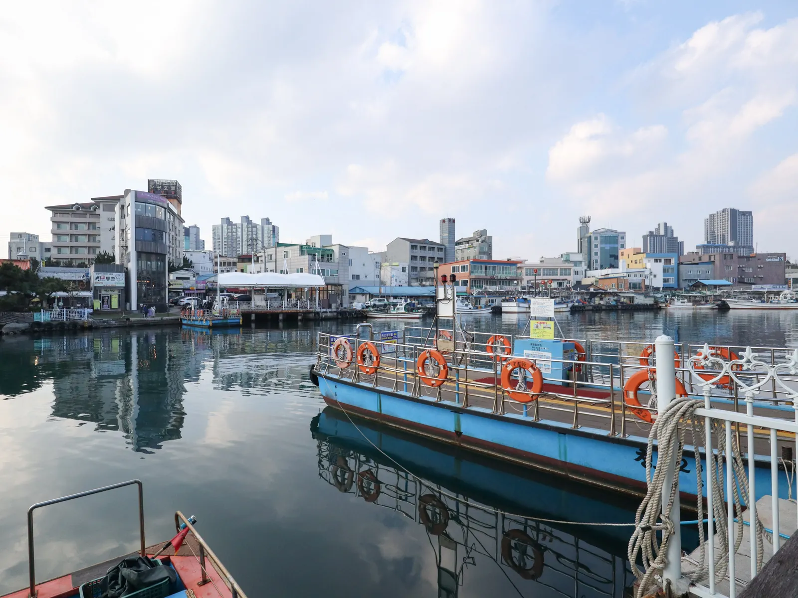
Photo: Mobius6 / CC BY-SA 4.0 - +2:00Back at the gangwayYour ship in Google Maps
The whole day in Google Maps
The numbered pins are the stops of this route. Tap a part to open it as directions from your ship and back.
Open in Google Maps, in 2 parts
Other places in Sokcho
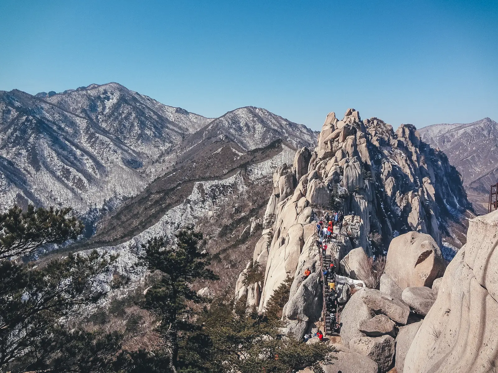
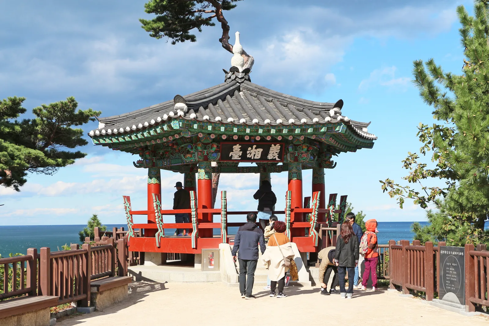
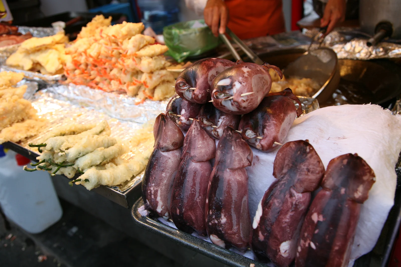
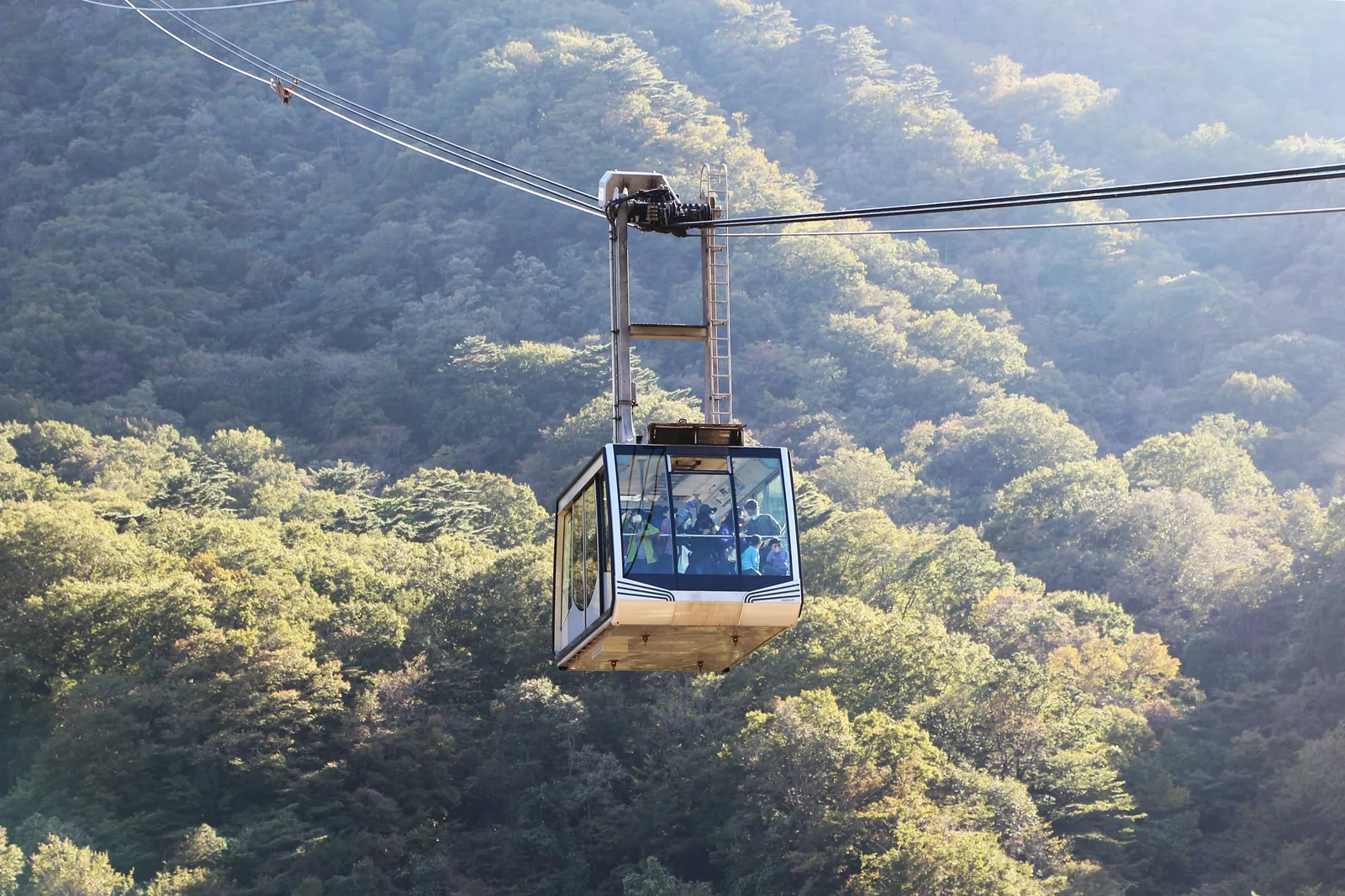
Photographs of the port's other places and stories, for another call or a longer one. Every one is credited.
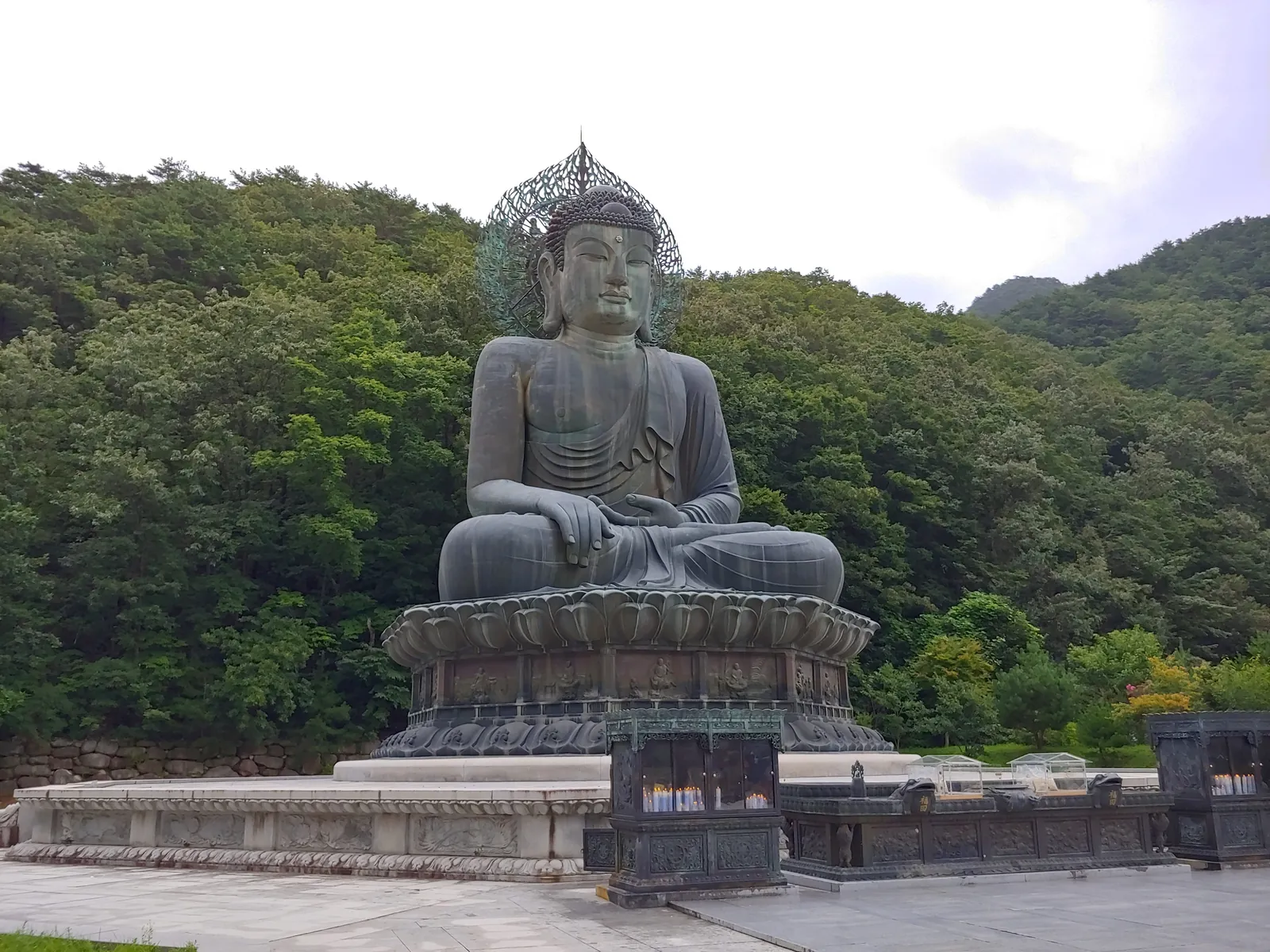
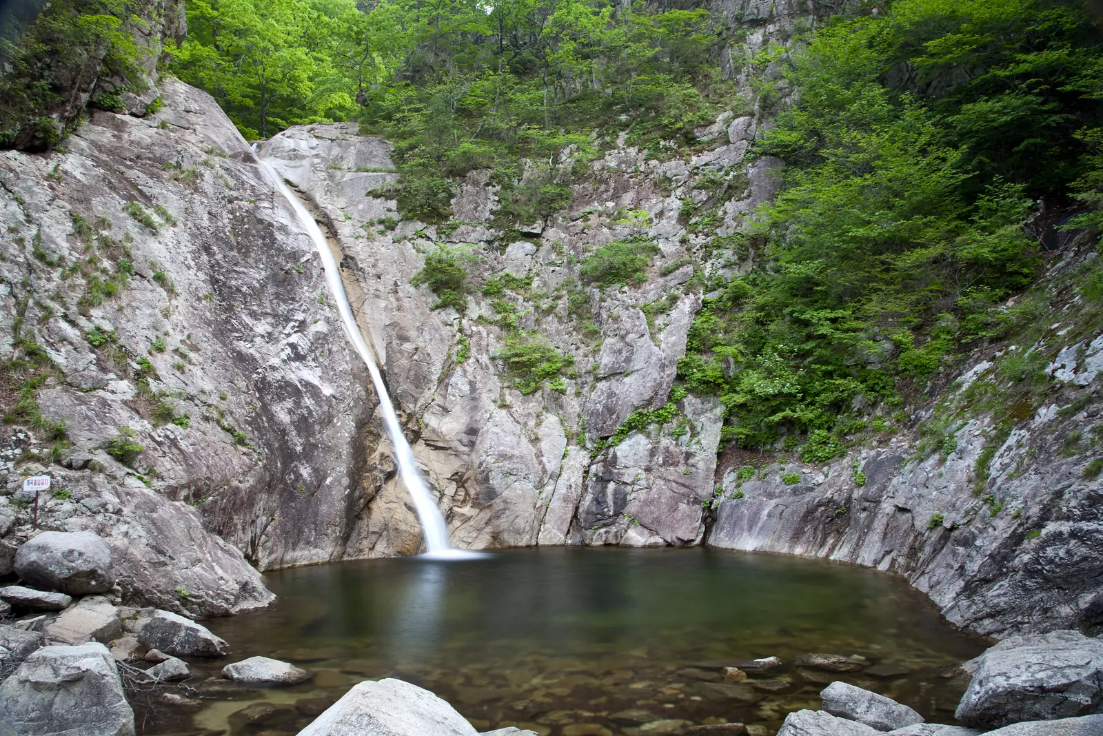
The other routes in Sokcho
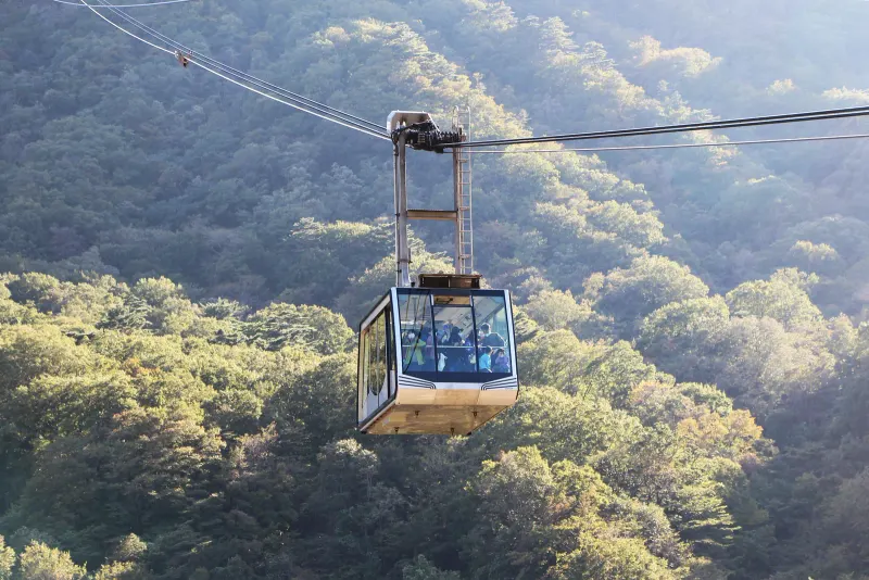 Cable car, Sinheungsa and Abai VillageNeeds a 6.5-hour call · ~4.5hA 7-hour call; Gwongeumseong with a modest queue, and the village on the way back
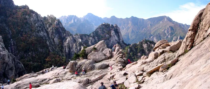 Cable car, a Seoraksan trail, the market and Abai Village (10:00–20:00 call)Needs a 10-hour call · ~8hThe 10-hour Westerdam and Noordam Saturday calls; gangway by 18:30
 The market under cover, the City Museum and the Expo TowerA wet day · ~4.5hRain; the cable car is pointless in cloud and the market has a roof
About this route
How the map and the Google Maps links are made, for anyone who wants to know.
Why does the map show pins but no walking lines?
Numbers follow the route. Pins are the places themselves; walking lines are not drawn because the best way between two stops can change with the tram, the tide or the weather.
Why does Google Maps open the day in 2 parts?
Google Maps on a phone takes three stops between start and end, and none on a train or bus route, so the day opens in parts. Each step also has its own directions.
Where do the times come from?
Times are counted from the moment you step off, not from the scheduled arrival, and the route ends an hour before all-aboard. Everything shifts if your ship is late; the order does not.