Home / Ports / Fushiki–Toyama / See
Amaharashi Coast and the Tateyama view
 1 / 3
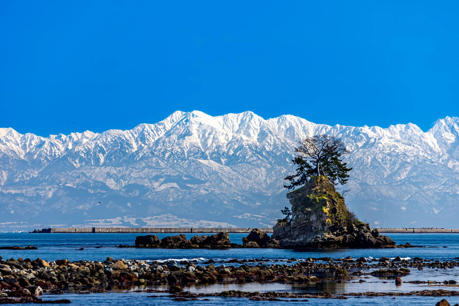
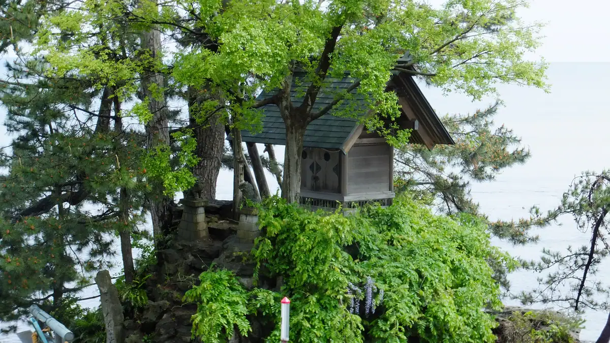
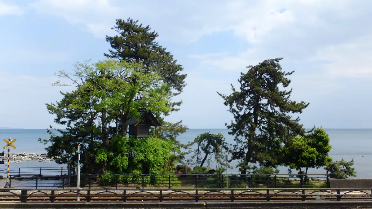
1 / 3Amaharashi Coast and the Tateyama viewPhoto: くろふね / CC BY 4.0
Tap a photo to see it large. 3 photographs, every one credited.
Onna-iwa rock, the Himi-line train and the 3,000-metre Tateyama range across the bay, on a clear day. The Michi-no-Eki deck is open all hours; café and shop 9:00–17:00. On a wet day there is nothing to see.
- Our number 1 for Fushiki–Toyama, out of ten. It is the first thing we would spend the hours on.
- Short enough to be certain of: 2 hr door to door, so even a tender day works.
- Free to visit — deck, beach and rock cost nothing.
- On a 4–6h ashore call our verdict is "Yes, as your one trip" — from fushiki choose amaharashi or takaoka town, not both. from the kaiwo berth it is a long way round; stay in shinminato.
- It is a view, so it is weather. Check the morning sky before you commit the hours.
Why Amaharashi Coast and the Tateyama view is famous
Hell, paradise and a wall of snow, 3,000 metres above the bay
Amaharashi means cleared rain. The name comes from a legend about Yoshitsune, the twelfth-century general, waiting here for a shower to pass on his flight north. The rock by the station still carries his name. The coast is part of the Noto Peninsula Quasi-National Park. The view it is known for is the Tateyama range standing across the bay behind Onna-iwa rock.
For a thousand years people believed hell was up there, in the steaming valley behind the peaks. Then a road went through it, and the view from the beach has not changed at all.
This is the classic Toyama view. Onna-iwa, a pine-topped rock, stands in the shallows; the Himi-line train runs along the shore; the Tateyama range fills the far side. The peaks reach 3,000 m and sit on the far side of the bay, so they look as if they rise from the sea. From the big-ship berth it is 3 km by road, a four-minute taxi.
Now the honest part. Toyama gets 2,374 mm of rain a year, about one and a half times Tokyo. On most wet days the mountains are not there at all, and on hazy days they are a faint line. April is the driest and sunniest month of the cruise calendar, so a spring call has the best odds. Treat it as a coin toss and keep a museum plan ready.
"Konjaku Monogatari" states that Japan's sinners fall into the hell of Tateyama
Iwakuraji and Ashikuraji spread the faith under Kaga domain protection
The ban is lifted in March; Meiji policy has already ended the bridge rite
A prefectural development scheme; cable-car construction begins in December
Amaharashi is the practical choice on a port day: a short train ride and a beach. The Alpine Route is a full day and needs the route to be open, mid-April to November.
Things worth knowing
- Look at the sky before you commit. If the far shore is grey from the ship, the mountains will not appear from the beach either.
- The Himi line is sparse. Trains back toward Fushiki and Takaoka leave Amaharashi at 08:31, 09:03, 09:38, 10:30, 12:05, 12:55, 14:32, 16:17 and 17:21.
- IC cards such as ICOCA and Suica have worked at every Himi-line station since 14 March 2026, so no ticket machine is needed.
- The photograph everyone wants has the train in it. The timetable above tells you when one will cross the frame.
- Tateyama立山 — The sacred range east of Toyama; its main peak Oyama is 3,003 m, its highest, Ōnanji, 3,015 m.
- Tateyama mandara立山曼荼羅 — The painted scroll of hells, paradise and the founding legend, used by monks to preach across Japan.
Amaharashi Coast and the Tateyama view and your ship
Both pins on one map, so the distance is a fact rather than a feeling.
Where the 2 hr goes
Counted from the moment you step off the gangway. The hour before all-aboard is not in this bar; it is already set aside.
4 minutes each way is the measured figure for taxi ~4 min from the fushiki wharf, or himi line 2 stops from fushiki station, not the optimistic one. If your ship is late, cut the 1 hr 52 min in the middle. Never cut the hour at the end.
Questions people send us
Can I see the Tateyama mountains from the cruise ship?
Not well. The big-ship berth is at Fushiki on the west shore and the range is across the bay to the south-east. Amaharashi, 3 km away, and the Shinminato Bridge walkway are where the view is, and only in clear air.
What are the chances of a clear view?
Nobody can promise it. Toyama is one of Japan’s wettest cities and the mountains hide on most wet days. April and May are the driest months, with 174 and 200 hours of sunshine against 68 in January. Spring calls have the best odds.
Is it worth going if it is cloudy?
The beach, Onna-iwa and the train are still there, and it costs nothing but a short taxi ride. If the cloud is low and wet, spend the time at Zuiryuji or Kittokito Ichiba instead.
Routes that already include it
Each one is a finished day we have walked and timed, with this stop in it. Read the route rather than assembling it yourself.
What to put beside it
Each of these still lands you back aboard with the hour to spare.
 3 hr 40 min for both
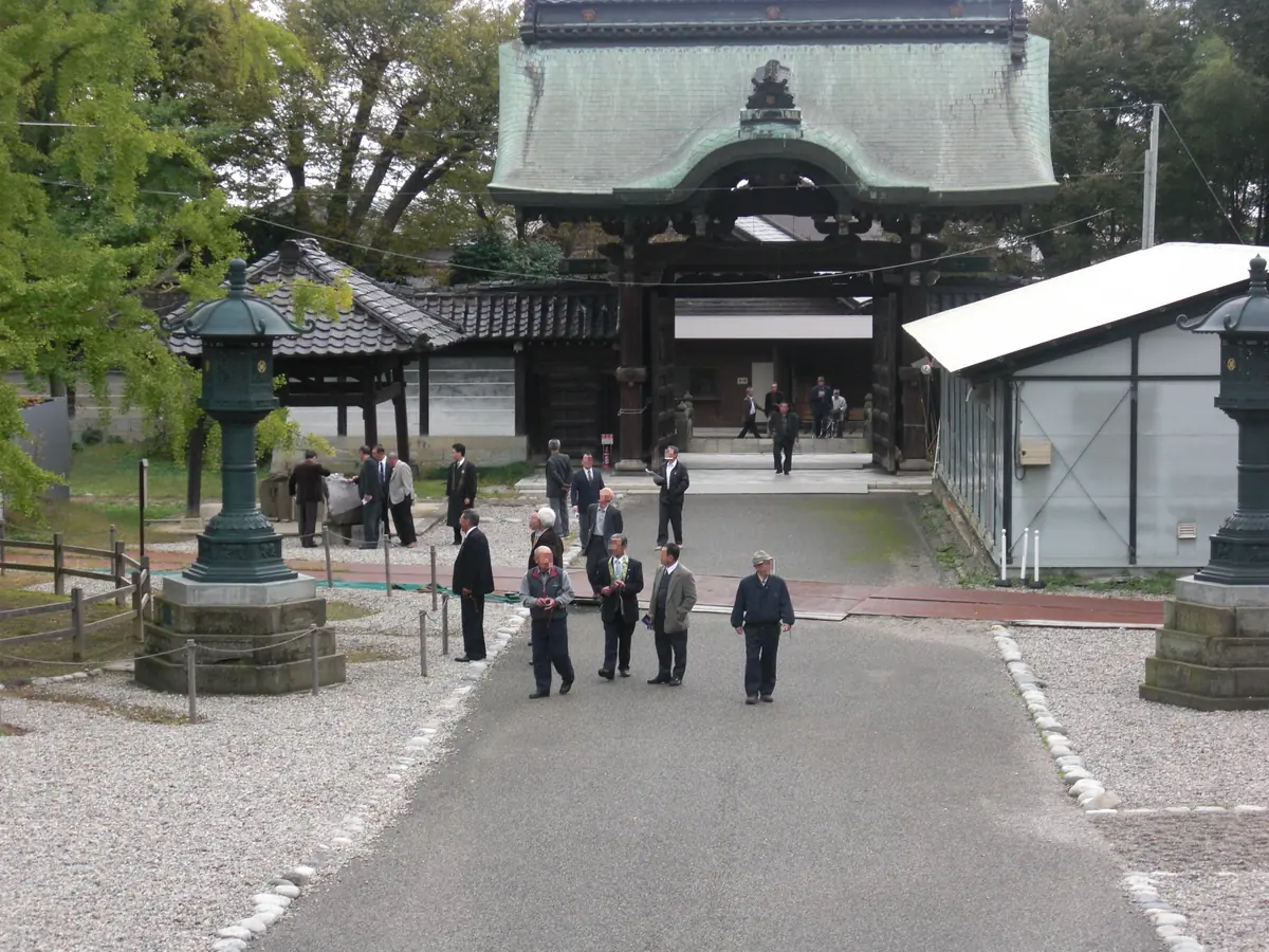
Shokoji temple, on foot from the wharf
The one sight you can walk to from the big-ship berth.
See the detail →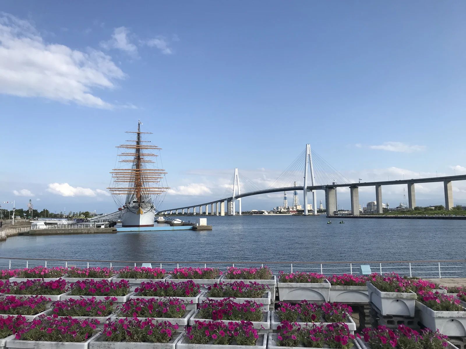 4 hr for both
Kaiwomaru Park and the Shinminato Bridge walkway
A four-masted training barque of 1930 you can board for ¥500, closed Wednesdays.
See the detail → 4 hr for bothKittokito Ichiba and the 12:30 auction
The Shinminato fish market, 9:00–17:00, with restaurants inside and a midday auction at the fishing port next door from about 12:30.
See the detail →