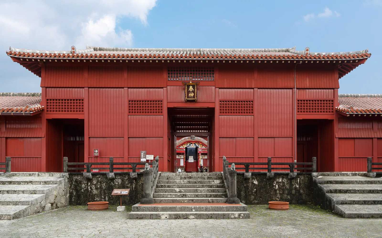
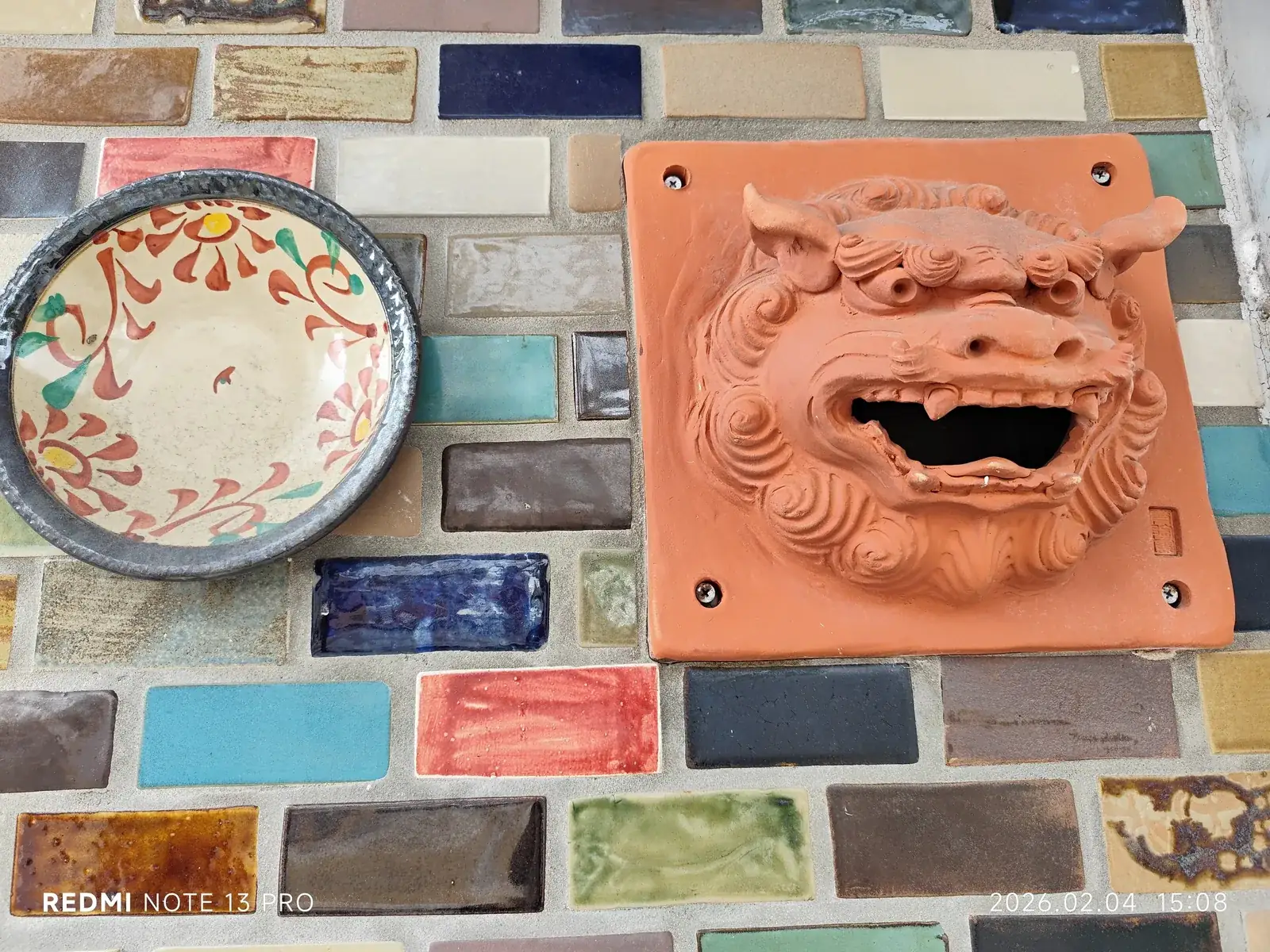
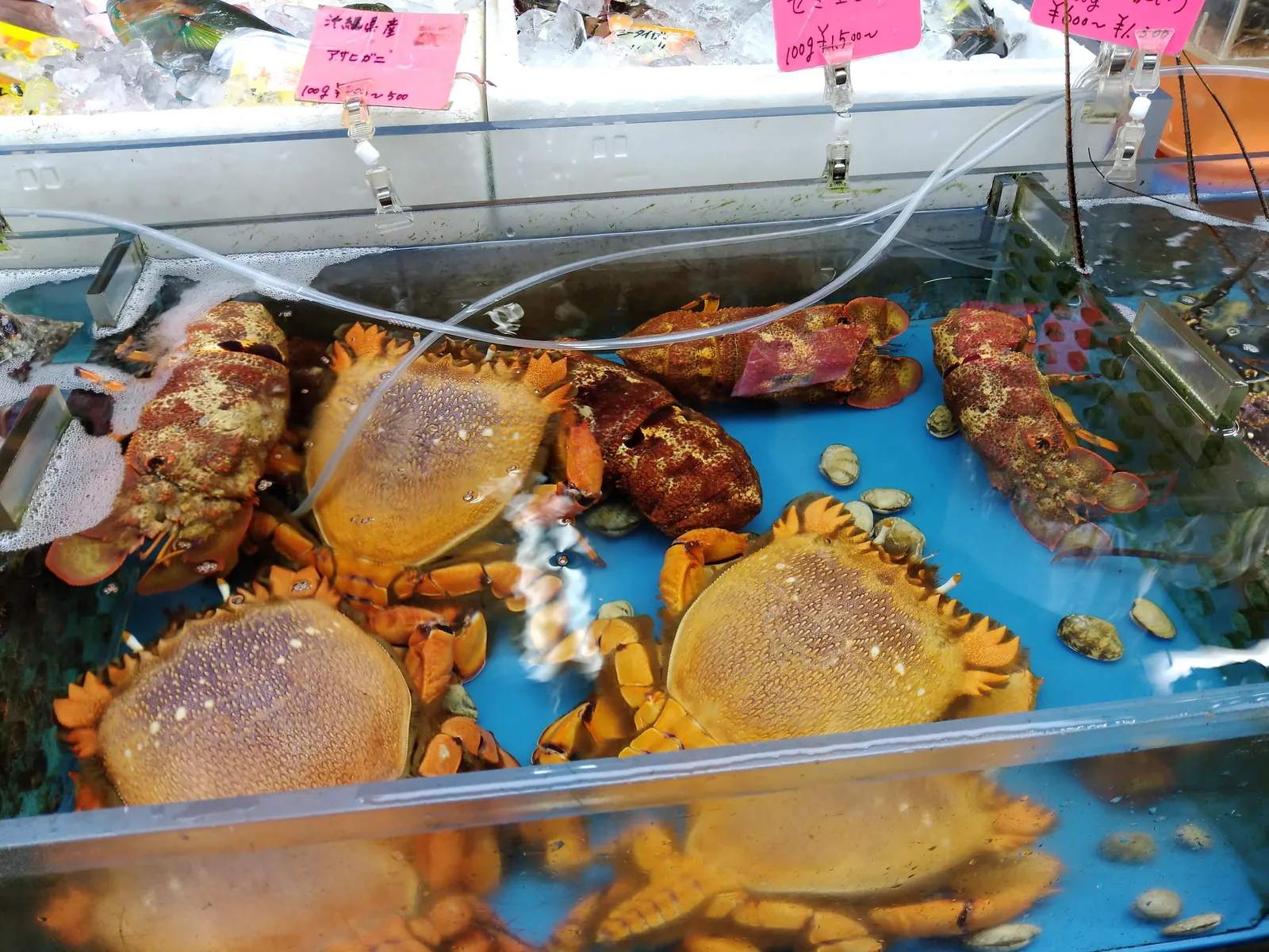
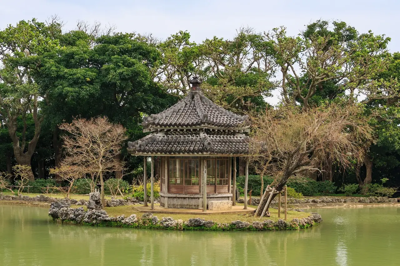
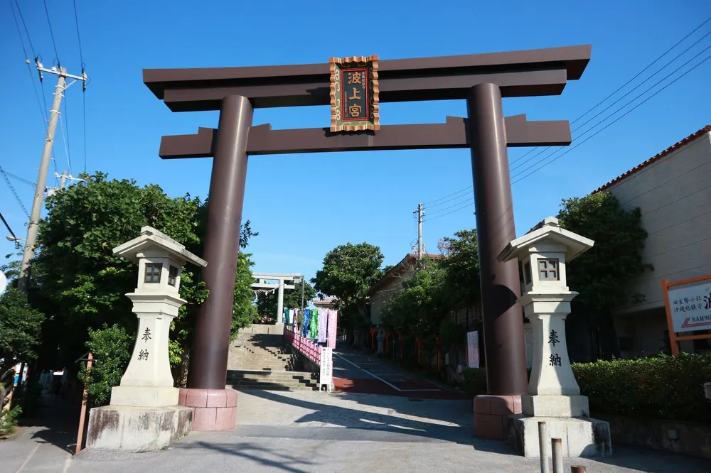
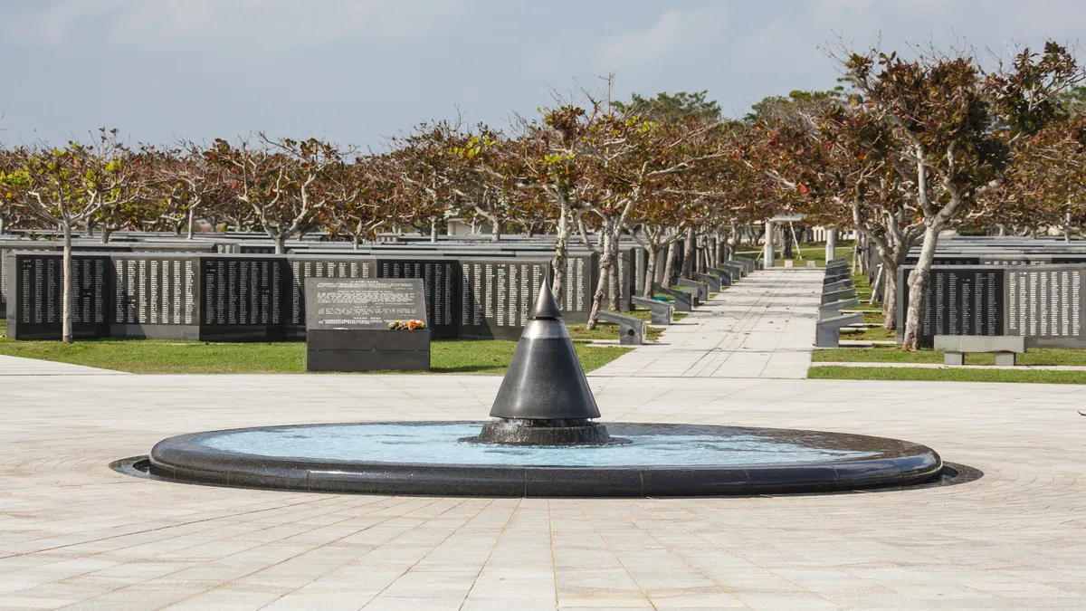
 Photo: CEphoto, Uwe Aranas / CC BY-SA 3.0
Timed from the gangway with the port's official timetables · updated · Takumi Yamada
Numbers follow the route below. Pins are the places themselves; walking lines are not drawn because the best way between two stops can change with the tram, the tide or the weather.
How the day runs
Times are from the moment you step off, not from the scheduled arrival. Everything shifts if your ship is late; the order does not.
- +0:00Car or tour south toward Itoman
Around 45 minutes; this leg needs wheels, not buses
- +0:50Peace Memorial Park and the Cornerstone of Peace
Every name from the 1945 battle, all sides, on stone
What you will see hereFull guide: Peace Memorial Park - +2:20Himeyuri Monument nearby
The student nurses’ memorial. Allow quiet time
What you will see hereFull guide: Peace Memorial Park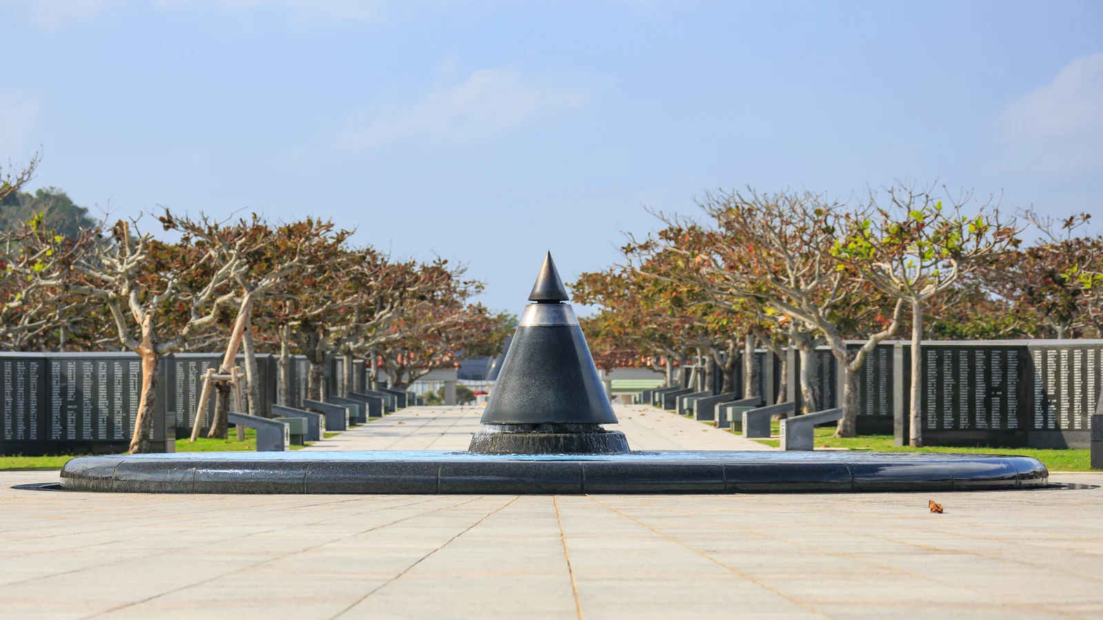
Photo: CEphoto, Uwe Aranas / CC BY-SA 3.0 - +3:15Okinawa World: Gyokusendo cave and eisa drums
Five kilometres of limestone, 890 m of it walkable
What you will see here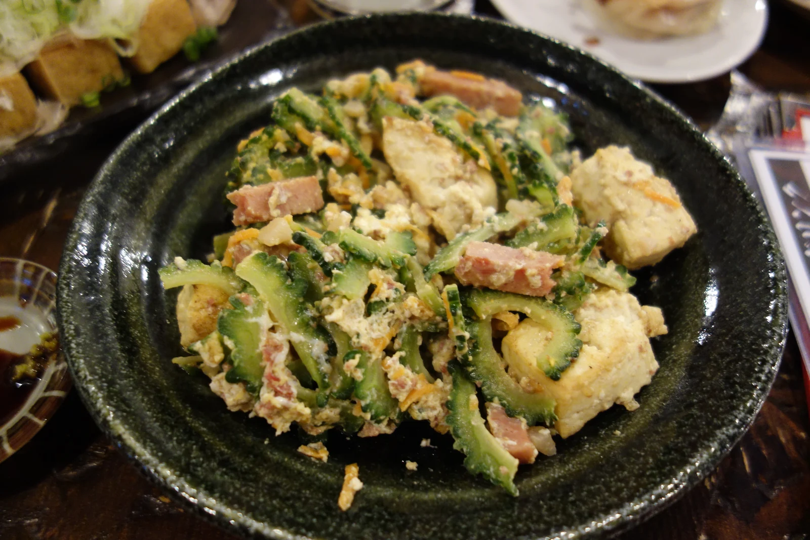
Photo: pelican from Tokyo, Japan / CC BY-SA 2.0 - +5:00Drive back through the southern coast
Cliffs, cane fields and turquoise water most of the way
What you will see here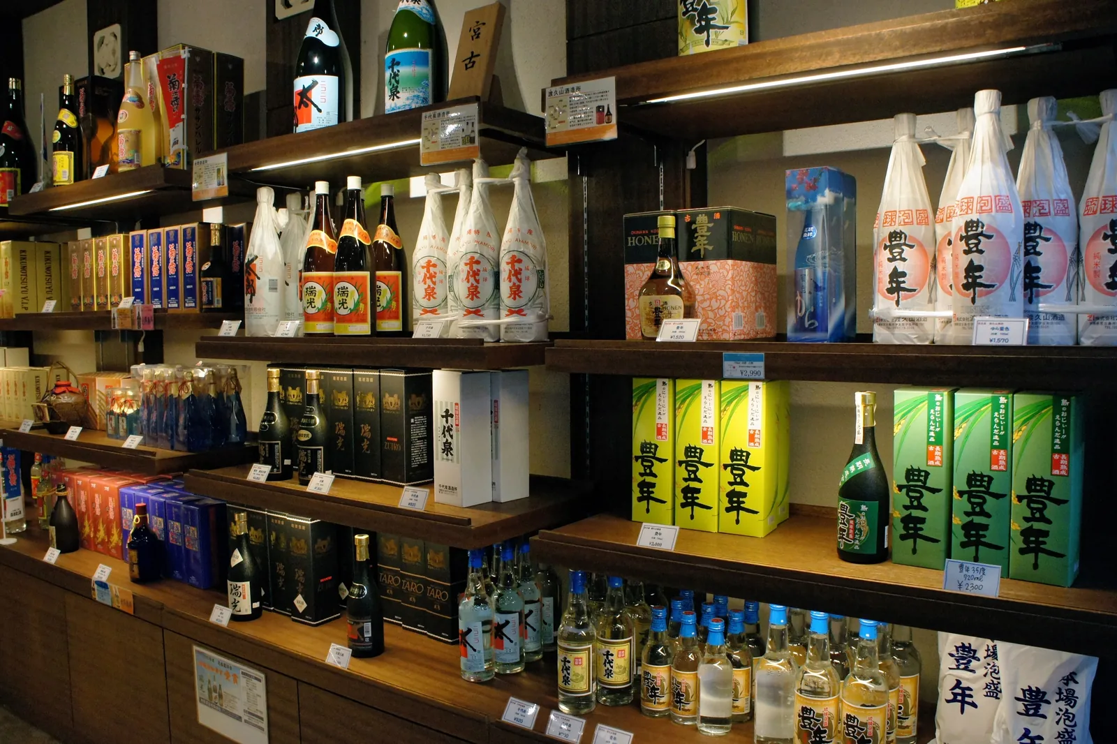
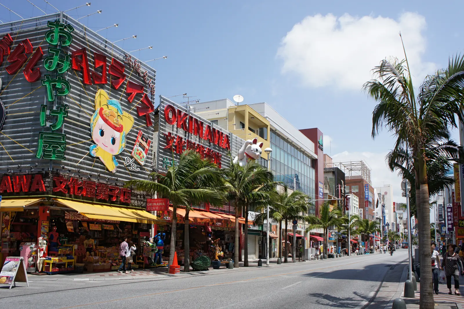
Photo: 663highland / CC BY 2.5 - +6:00Kokusai-dori or straight to the pierWhat you will see hereFull guide: Kokusai-dori
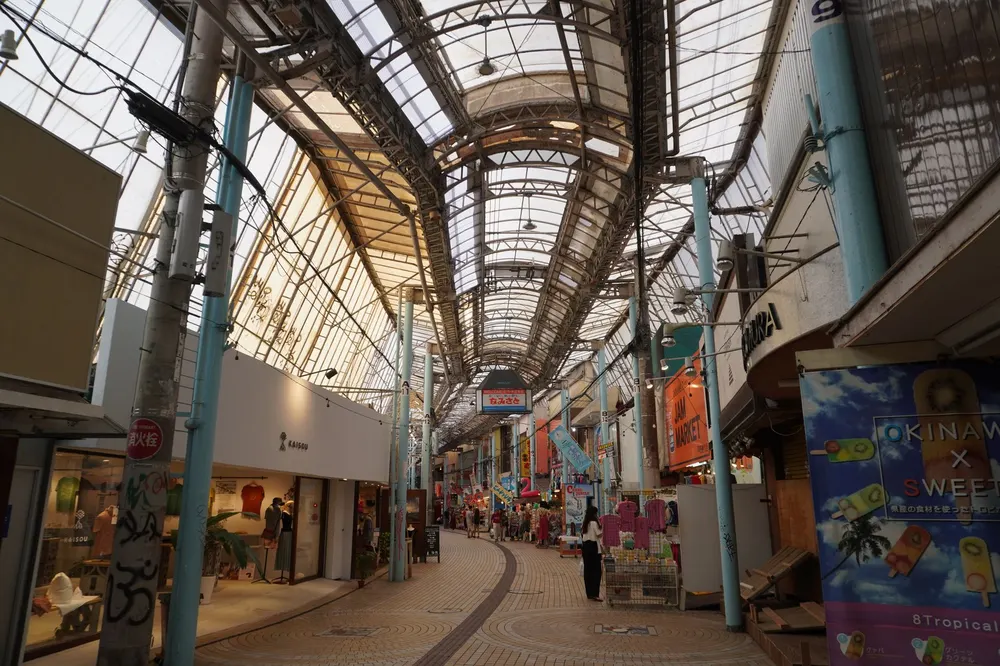
Photo: TurnOnTheNight / CC BY-SA 4.0 - +6:45Back at the gangway
Keeps the hour before all-aboard on a 9h call
Naha, along this route
Real photographs of the places above and the streets between them. Every one is credited.