 Photo: Hiroaki Kikuchi / CC BY-SA 4.0
Timed from the gangway with the port's official timetables · updated · Takumi Yamada
Numbers follow the route below. Pins are the places themselves; walking lines are not drawn because the best way between two stops can change with the tram, the tide or the weather.
How the day runs
Times are from the moment you step off, not from the scheduled arrival. Everything shifts if your ship is late; the order does not.
- +0:00Taxi to Sengan-en garden (35–50 min)
Go at opening — tour buses arrive from 10
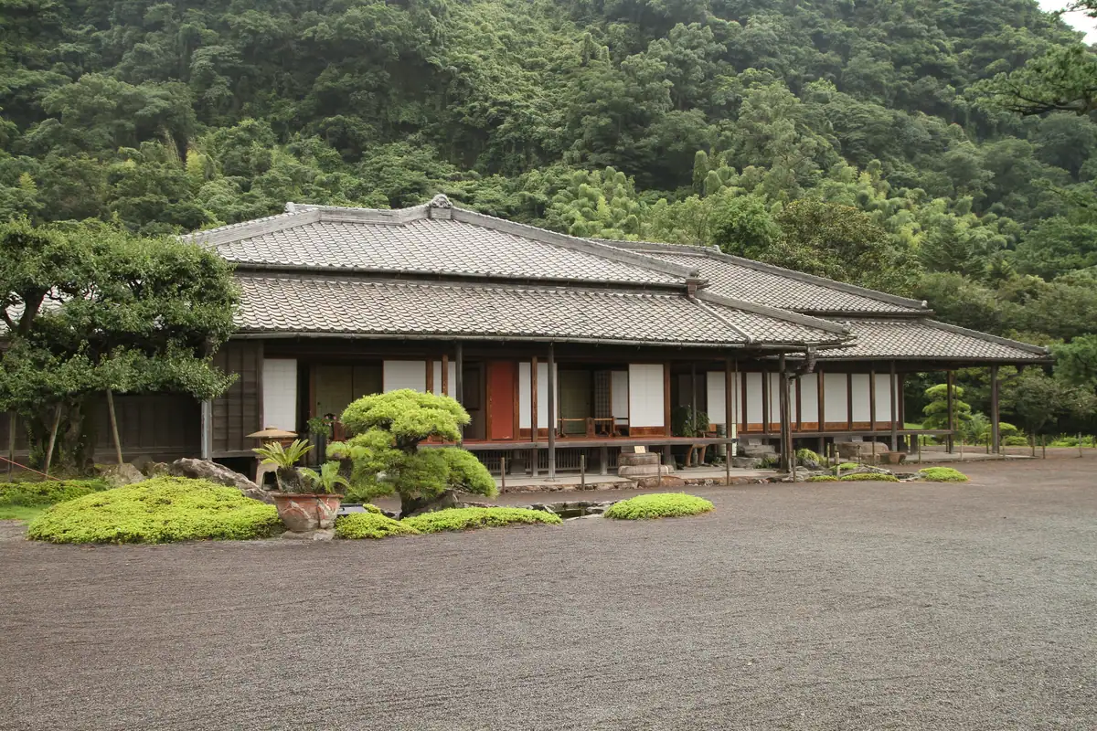
What you will see hereFull guide: Sengan-en - +0:50Sengan-en: the lords’ garden with the volcano as scenery
The World Heritage factory ruins are included
What you will see hereFull guide: Sengan-en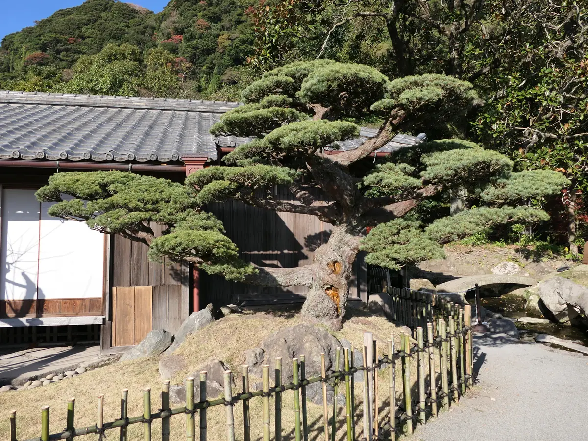
Photo: Hyppolyte de Saint-Rambert / CC BY 4.0 - +2:20Taxi to the Sakurajima ferry, cross the bay
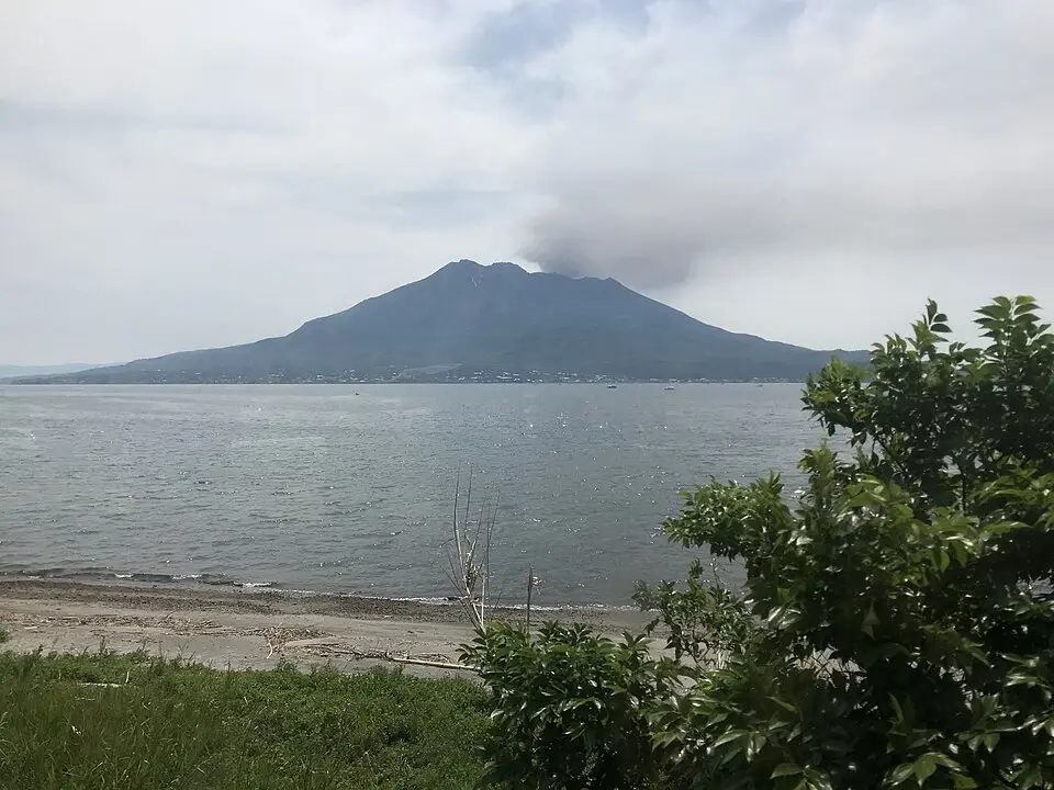
15-min crossing, every 20 min
What you will see hereFull guide: Sakurajima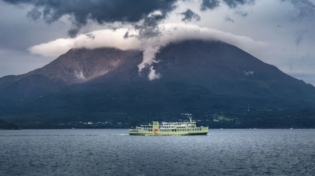
Photo: Hyppolyte de Saint-Rambert / CC BY 4.0 - +3:00Lava trail + foot bath on the island
Lunch: udon stand at the ferry terminal works
What you will see here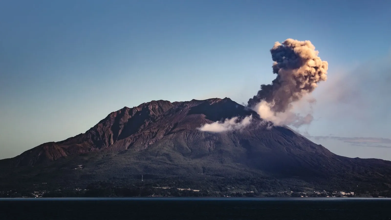
Photo: Marek Piwnicki / Pexels - +4:30Ferry back, then a taxi to Shiroyama
From here the City View bus goes the long way round via Kagoshima-Chuo, about 40 min; its last loop leaves Chuo at 17:30
What you will see hereFull guide: Shiroyama Observatory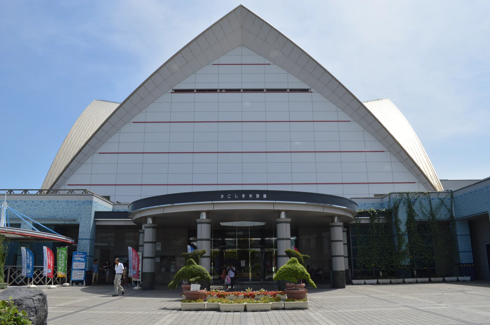
Photo: Totti / CC BY-SA 4.0 - +5:15Shiroyama observatory — city, bay, volcano
The photo that goes above your desk
What you will see hereFull guide: Shiroyama Observatory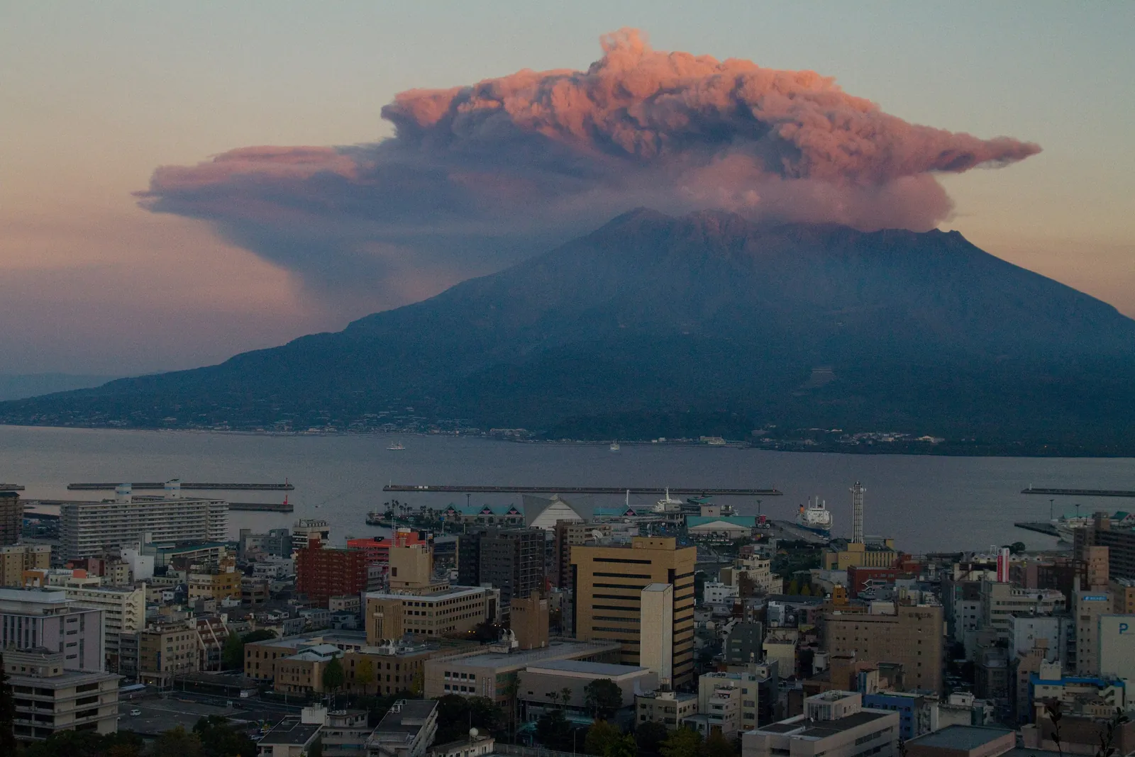
Photo: KimonBerlin / CC BY-SA 2.0 - +6:15Taxi to Marine Port
~30 min. Book it in the morning: we could not confirm a taxi rank at Shiroyama. Keep the full hour
What you will see here - +7:00Back at the gangway
Total transport spend: roughly ¥10,000–12,000 per couple in taxis plus the ¥250 ferry
What you will see here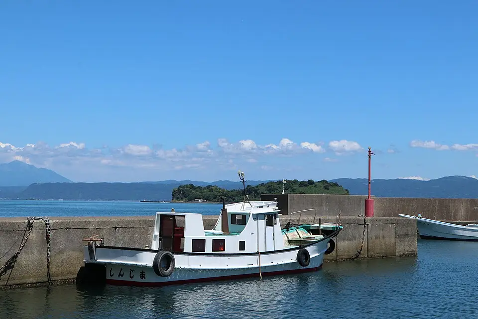
Photo: Sakoppi / CC BY-SA 4.0
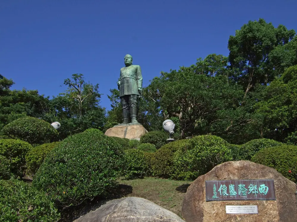
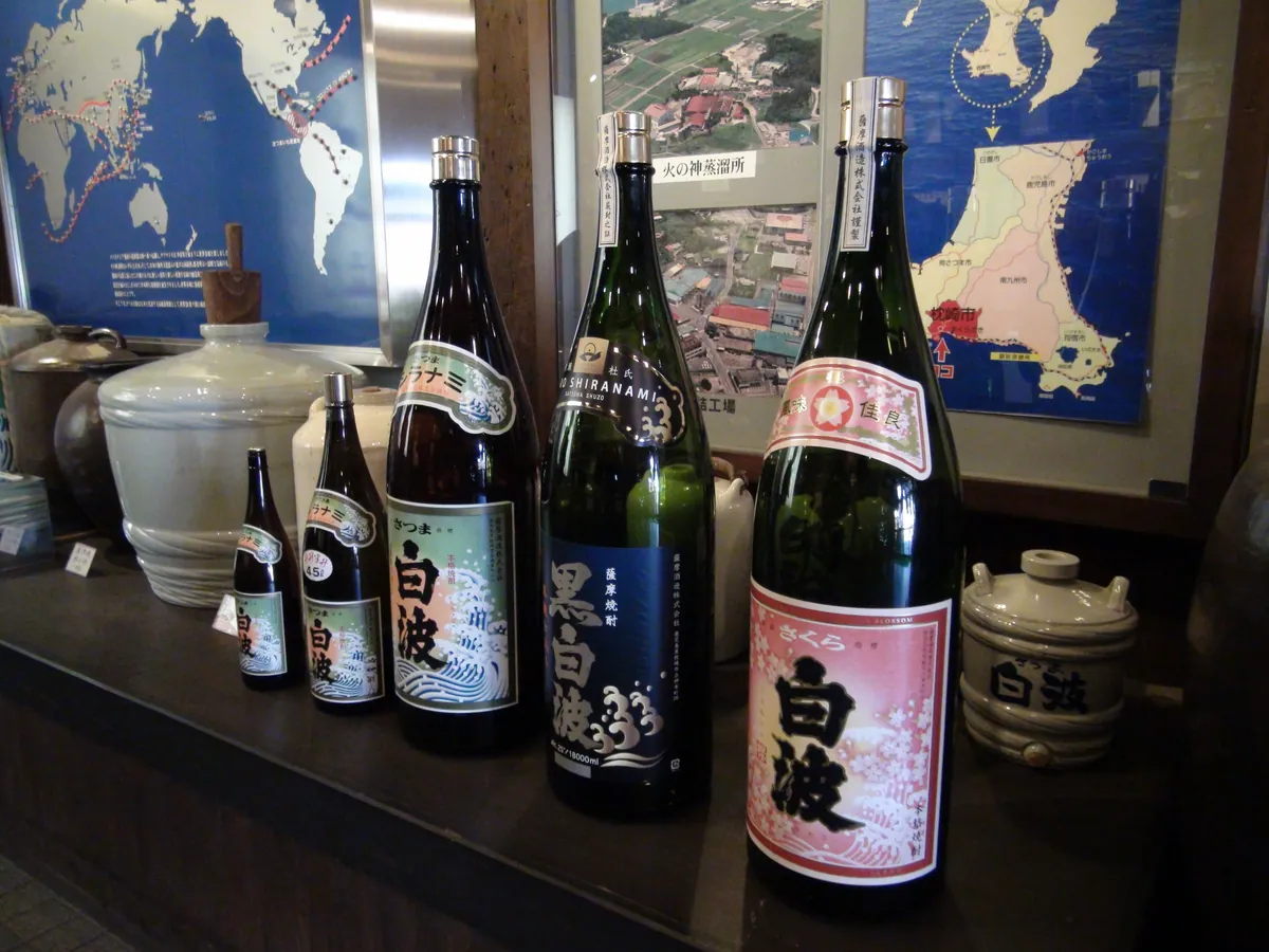
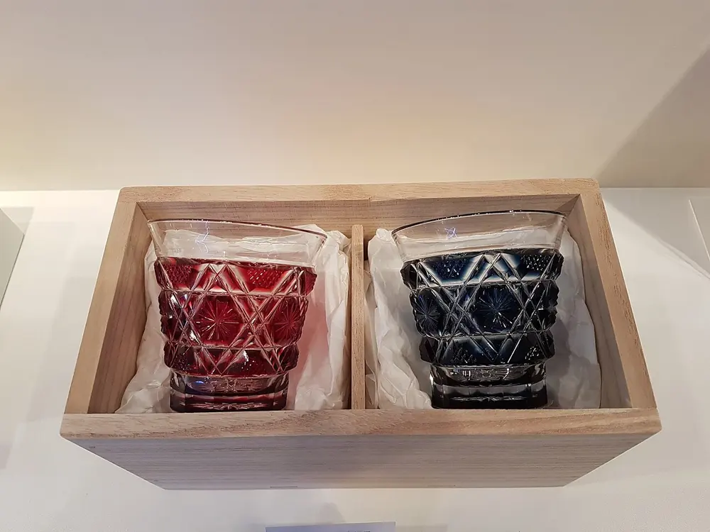
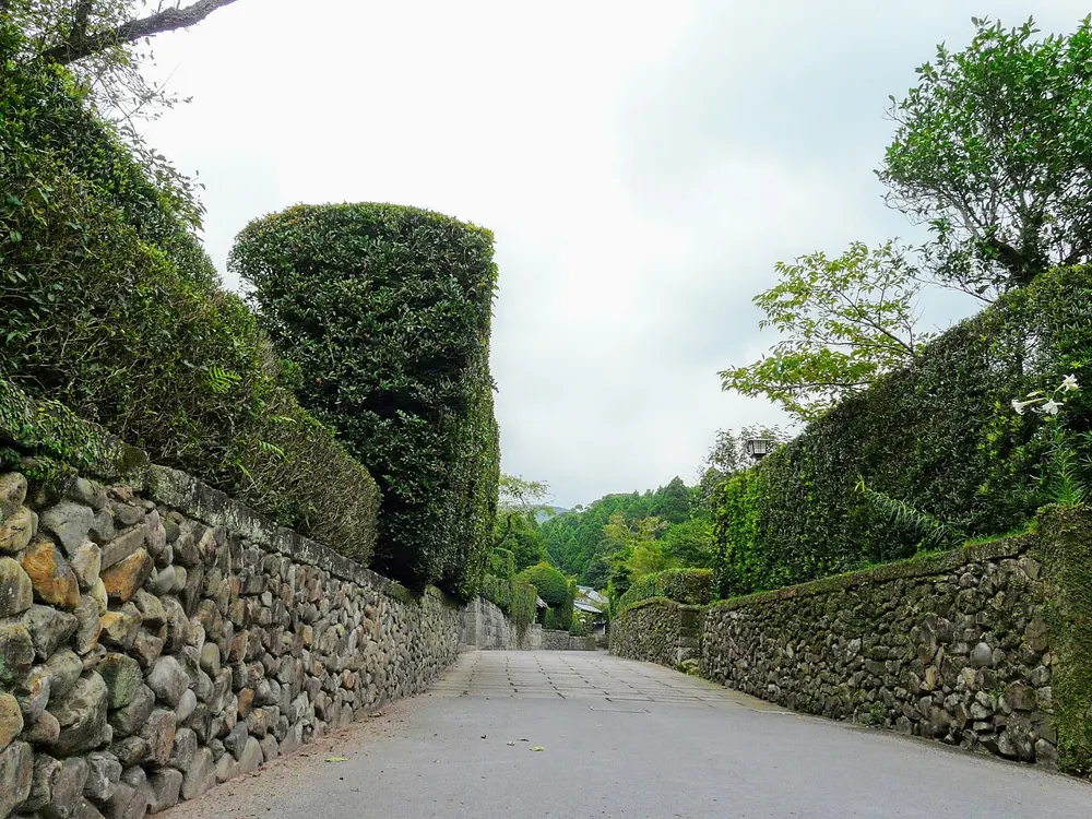
Kagoshima, along this route
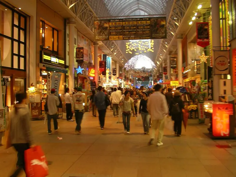
Real photographs of the places above and the streets between them. Every one is credited.