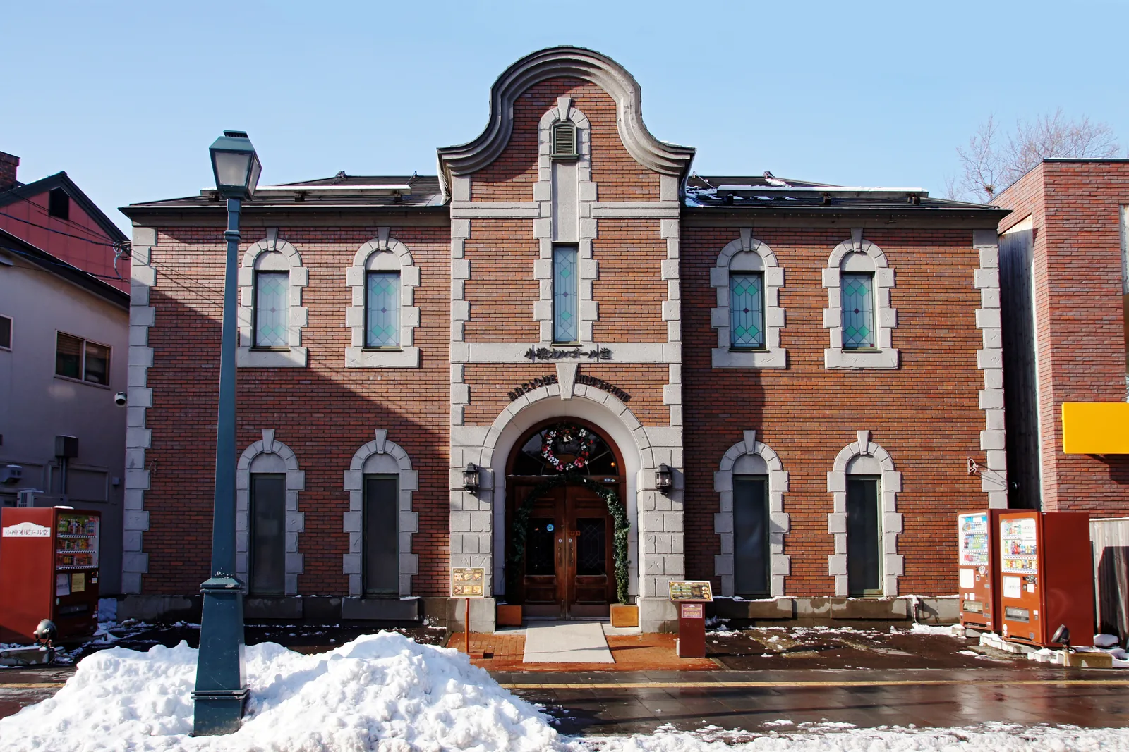
 Photo: Flickr user: Chi ing https://www.flickr.com/people/davelau/ / CC BY 2.0
Timed from the gangway with the port's official timetables · updated · Takumi Yamada
Numbers follow the route below. Pins are the places themselves; walking lines are not drawn because the best way between two stops can change with the tram, the tide or the weather.
How the day runs
Times are from the moment you step off, not from the scheduled arrival. Everything shifts if your ship is late; the order does not.
- +0:00Walk from the berth to the canal
5–10 minutes. One of the few Japanese ports that needs no shuttle
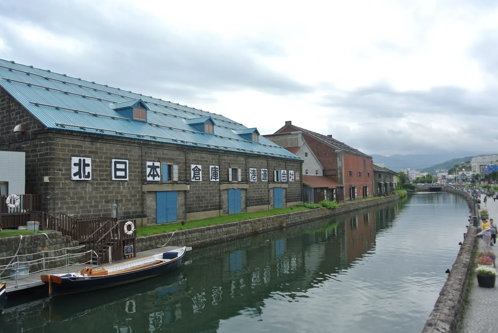
What you will see hereFull guide: The canal - +0:10The canal and the warehouse row
Finished 1923. Half of it was paved for a road; you are walking beside the half that was saved
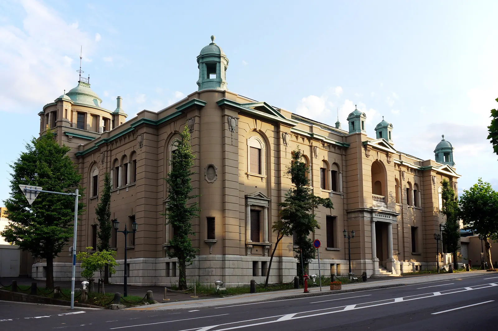
What you will see hereFull guide: The canal - +0:40Nichigin-dori — the bank street
Stone facades from the herring boom, when this was Hokkaido’s financial centre
What you will see here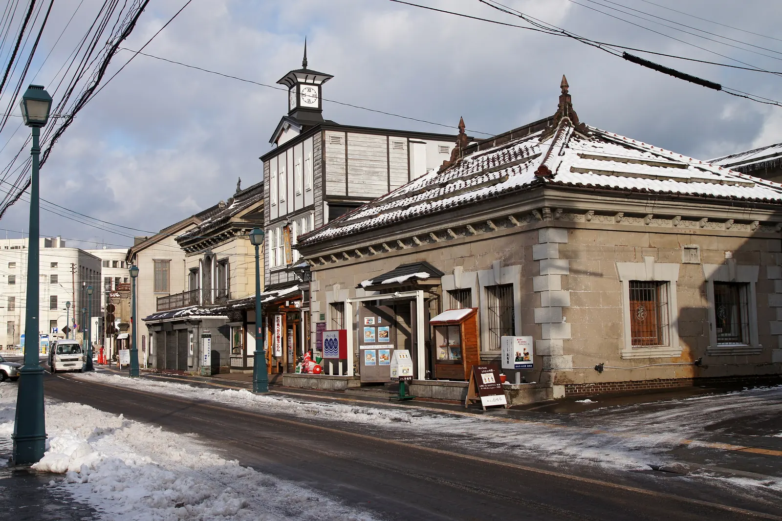
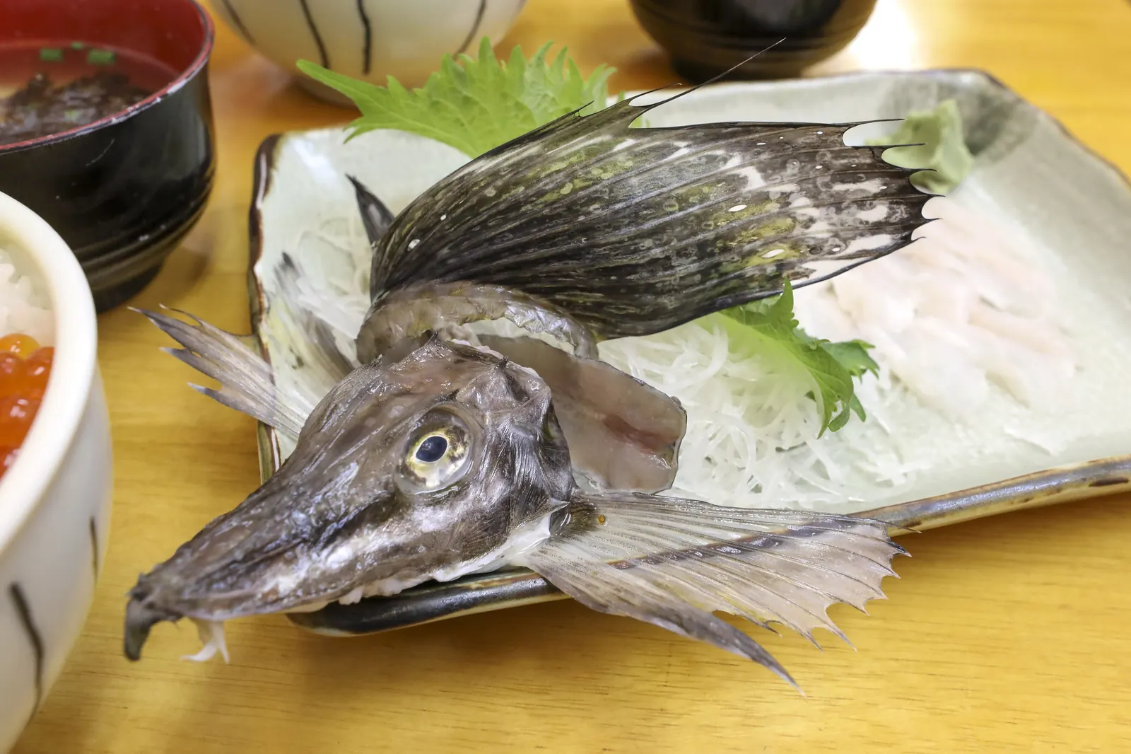
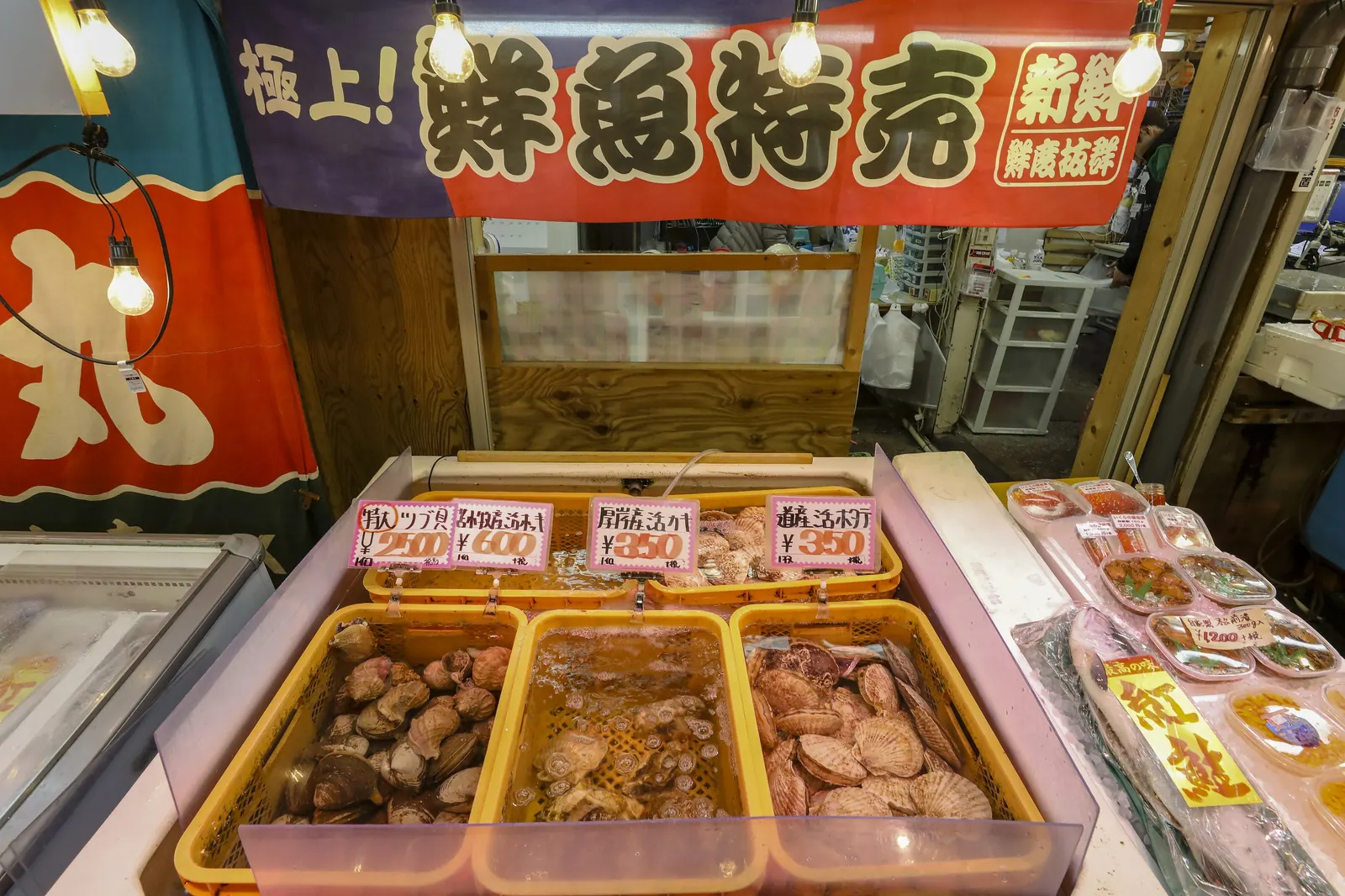
Photo: 663highland / CC BY 2.5 - +0:55A bowl at Sankaku Market
Six small eateries by the station. Order what the board says is in season. Sushiya-dori is further on, so keep it for a longer call
What you will see hereFull guide: Sankaku Market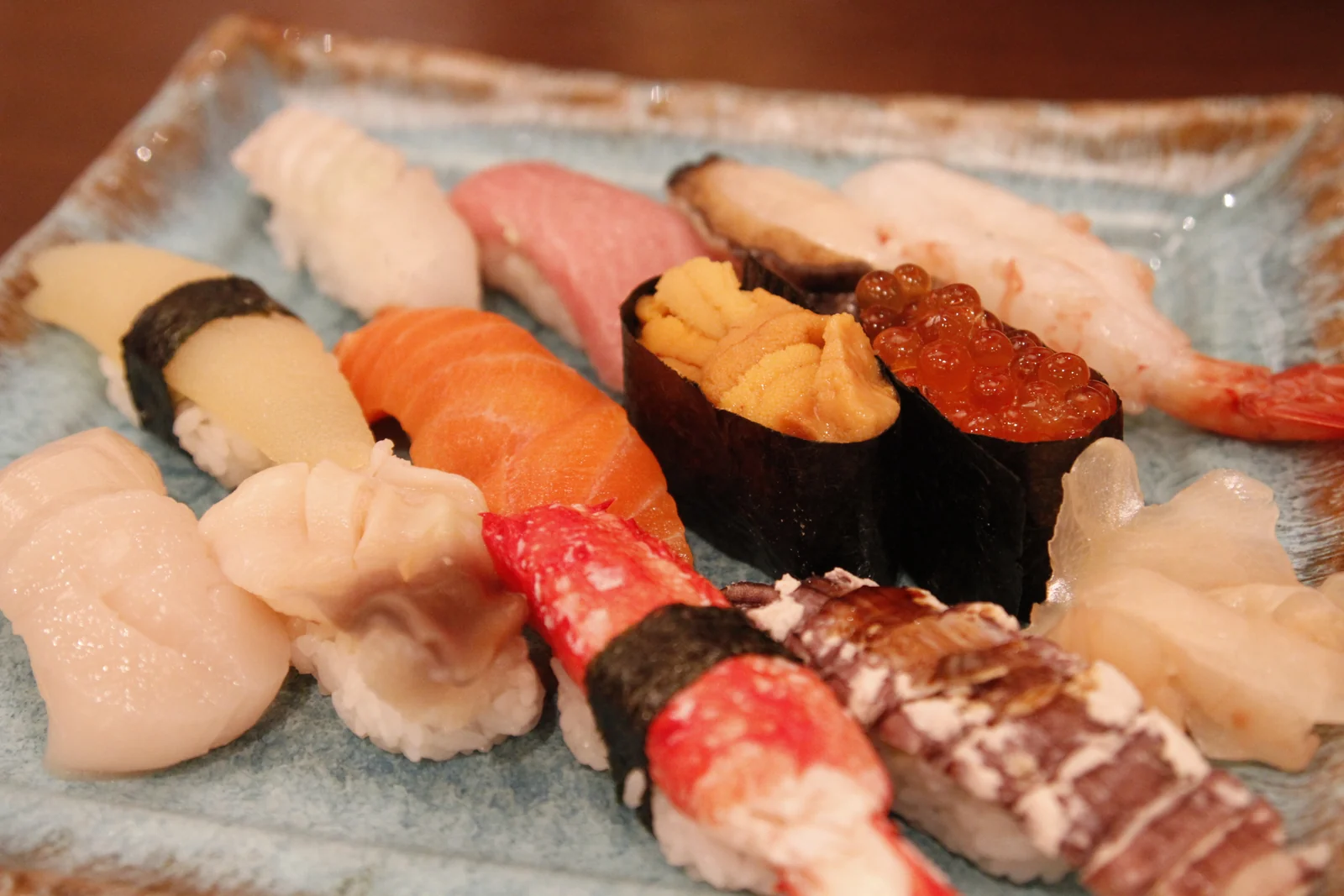
Photo: Party0 / CC BY 2.0 - +1:45Walk back
About 20 minutes, downhill to the wharf
Otaru, along this route
Real photographs of the places above and the streets between them. Every one is credited.