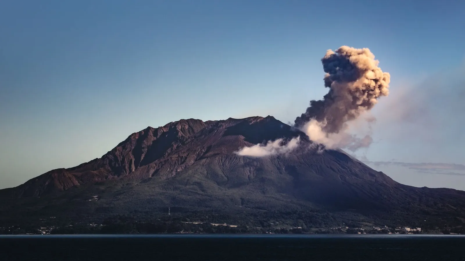
Six hundred thousand people, one erupting mountain, and a ferry that never stops
It erupts a couple of hundred times a year. Children walk to school in hard hats, ash goes out in yellow bags like recycling, and a city ferry crosses to the mountain every 15–20 minutes from before dawn to almost midnight — the famous around-the-clock service ended in 2025.
Every port has a landmark. Kagoshima has a neighbour that occasionally throws things at it.
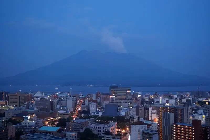
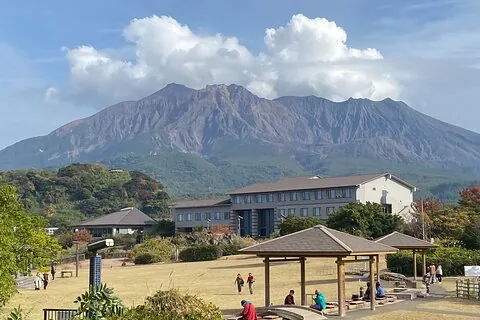
Sakurajima stands 1,117 metres high, about four kilometres across the bay from the city centre, and it has been continuously active since October 1955. Between 1955 and 2024 its craters produced 15,057 recorded eruptions — an average of roughly two hundred a year. In 2011 alone there were 996 explosive eruptions.
The startling fact is not the volcano. It is that Sakurajima is the small child of something far larger: it grew inside the southern rim of the Aira caldera, a collapsed structure roughly 17 by 23 kilometres formed by a colossal eruption some twenty-two to twenty-nine thousand years ago. Kagoshima Bay — the water your ship is floating on — is largely that caldera. The mountain everyone photographs sits on the edge of a far bigger system that is still inflating.
Strong earthquakes began on 11 January 1914; the eruption itself started the next day. Ash reached eighteen thousand metres. Fifty-eight people died — thirty-five in the earthquakes, twenty-three in the eruption — and most of the island's twenty-two thousand residents got out by boat.
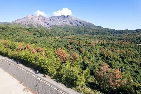
Then, on 30 January 1914, the lava flow on the east flank filled the strait and welded Sakurajima to the mainland. It has not been an island since. The name — 桜島, "cherry blossom island" — is now a fossil of the geography that existed before your great-grandparents were born.
At Kurokami, a three-metre shrine gate was buried until only about a metre of its top crossbeam showed. Villagers wanted to dig it out. The village mayor said no — leave it, as a warning.
It is still there, still buried, free to visit on the island's east side. It remains Japan's largest explosive eruption of the twentieth century.
Roughly six hundred thousand people live within about ten kilometres of an erupting volcano, and they have made it administrative. Residents sweep ash into municipally issued yellow bags and leave them at neighbourhood collection points — there are over 6,500 designated ash collection sites in the city, and ash is collected separately from ordinary refuse. In one unremarkable year the city cleared around 1,274 cubic metres of ash from its roads and had another 8,200 removed from residential areas.
Elementary school children wear hard hats to and from school against falling ash and pumice. The daily ashfall forecast is checked the way other cities check rain — it decides whether you hang laundry, open a window, or wash the car. Concrete shelters dot the island, and drills have run since 1970.
The volcanic soil grows two absurdities. The Sakurajima daikon holds a Guinness record at 31.1 kilograms with a 119-centimetre circumference — the largest radish on earth. And the Sakurajima komikan, four to five centimetres across, is held to be the world's smallest mandarin. One island, both records, same dirt.
The ferry runs 24 hours a day, 365 days a year — every fifteen to twenty minutes by day — and takes about fifteen minutes for ¥250. No booking exists or is needed. It is a working commuter service: cars, delivery vans, high-school students. There is a famous udon counter on board, and the local custom is to order the moment you board and hand the bowl back as the ramp drops.
On the far side, the Nagisa Lava Trail runs across the 1914 flow, and a 100-metre free foot bath faces the strait. Higher up, the Yunohira Observatory at 373 metres is the closest visitors may go — climbing Minami-dake is prohibited, and the routine alert level is a standing "do not approach the summit."
From a cruise berth, the crossing and the lava trail fit comfortably into a five-hour stop ashore with margin to spare. It is the single thing this port has that no other port in Japan can offer.
A colossal eruption creates the bay Kagoshima now sits on
Growing inside the caldera's southern rim
VEI 5 — the largest in the historical record here
Earthquakes first, then the eruption; 58 dead, 22,000 evacuated
Lava fills the strait and joins Sakurajima to the mainland permanently
Unbroken to this day — over 15,000 recorded eruptions since
The volcano becomes a commute
The record year; the city cleared thousands of cubic metres of ash
The ferry needs no booking and runs constantly. Guided days add the far side of the island — Yunohira and the lava fields — which public transport does not reach well.
Constantly, on a small scale. It has been continuously active since 1955, with 15,057 recorded eruptions between then and 2024 — around two hundred a year. The record year was 2011, with 996 explosive eruptions. Most are minor ash emissions that residents treat as weather.
Yes, within the standing rules. Over a thousand people live on the island and six hundred thousand live within ten kilometres; the ferry is a 24-hour commuter service. Climbing the active peak is prohibited and the routine alert level warns against approaching the summit, but the lava trails, foot bath and observatories are normal daily life here.
Shuttle or taxi to the city-side ferry terminal (25–35 minutes from Marine Port), then the ferry — every 15–20 minutes, 24 hours a day, about 15 minutes and ¥250 each way. No reservation exists or is needed, and IC cards work.
Because it was one until 30 January 1914, when lava from the Taishō eruption filled the strait on the east side and welded it to the Ōsumi Peninsula. The name is older than the geography.
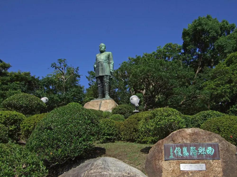
How the far south overthrew the shogun — and then mourned the man who did it
Read →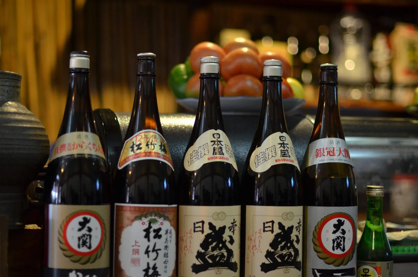
Not sake. Not soju. The spirit a volcano made inevitable
Read →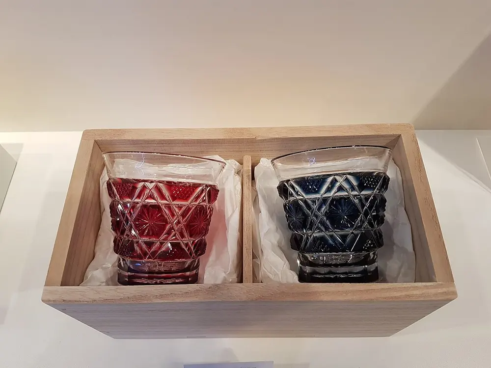
Glass that died for a century, and pottery made by prisoners of war
Read →
Samurai gardens, and the airfield the boys flew from
Read →No typing needed — jump straight in:
Just docked? — the gangway toolStart from your shipThe ride from every berthAsk the editorGlossary